
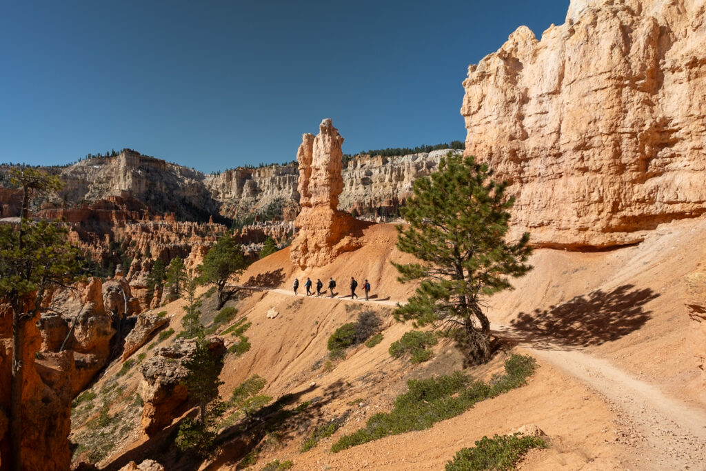
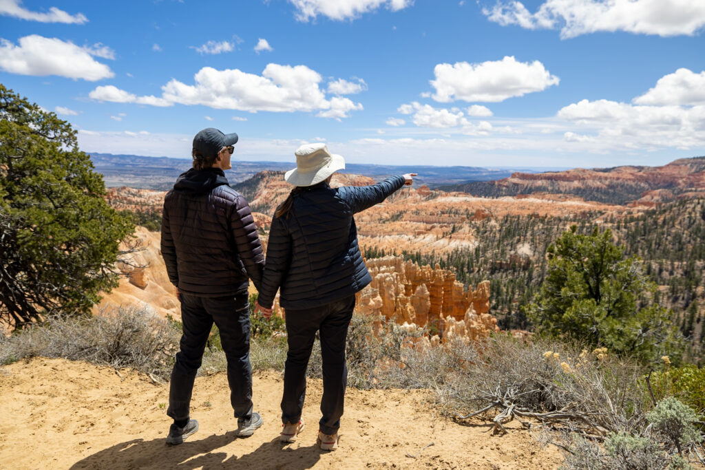
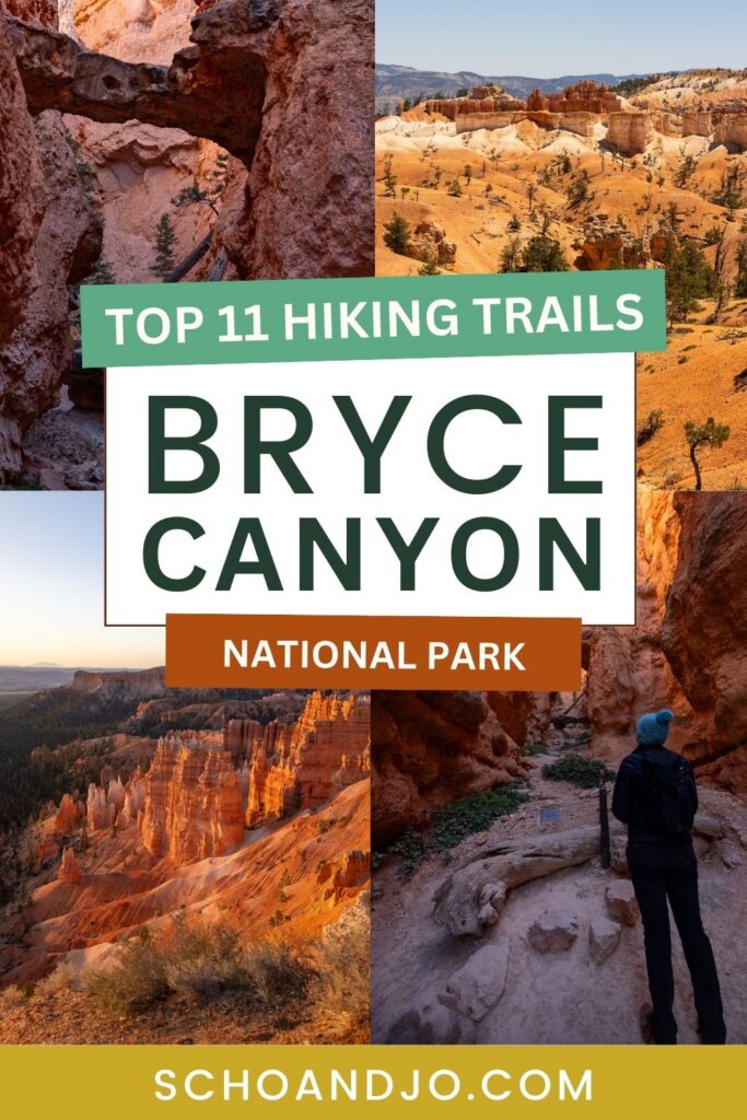
Utah‘s Bryce Canyon National Park has around 60 miles of hiking trails, ranging from easy strolls to challenging backcountry treks. Many of these trails take you right up to the park’s infamous hoodoos, those odd-looking red rock spires, while other trails lead you through the peaceful meadows of the backcountry. We hiked some serious miles in Bryce Canyon and saw a bit of it all, so we’ve rounded up the 11 best hikes in Bryce Canyon National Park to help you decide which trails to hit yourself!
👀 Make sure you check out #11 for our favorite overall hike in Bryce Canyon!
Note: We use affiliate links which provide us a little kickback each time you use one of our links and make a purchase, without any additional cost to you. We do not recommend products that we don’t already love or have heard great things about, so you can trust we’re only suggesting great products to you.
ℹ️ About Hiking in Bryce Canyon National Park
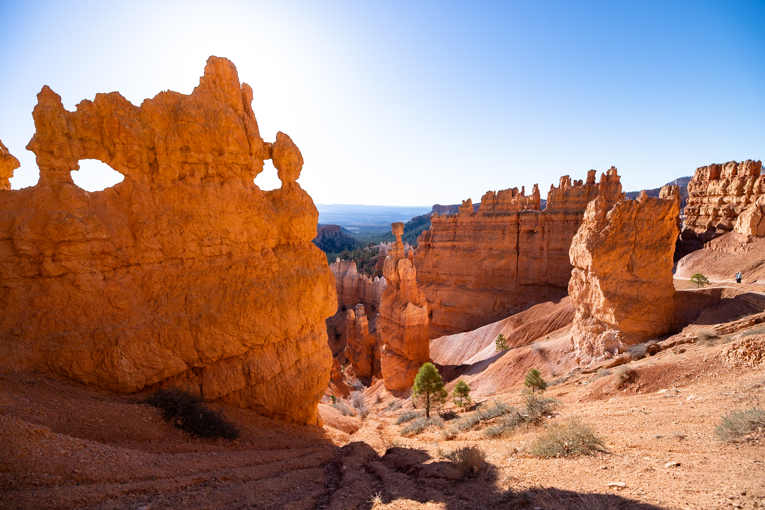
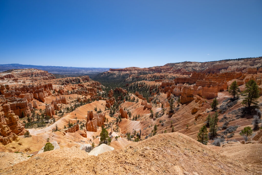
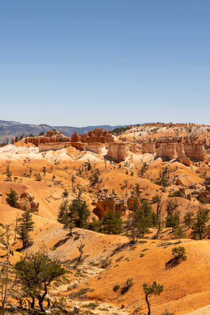
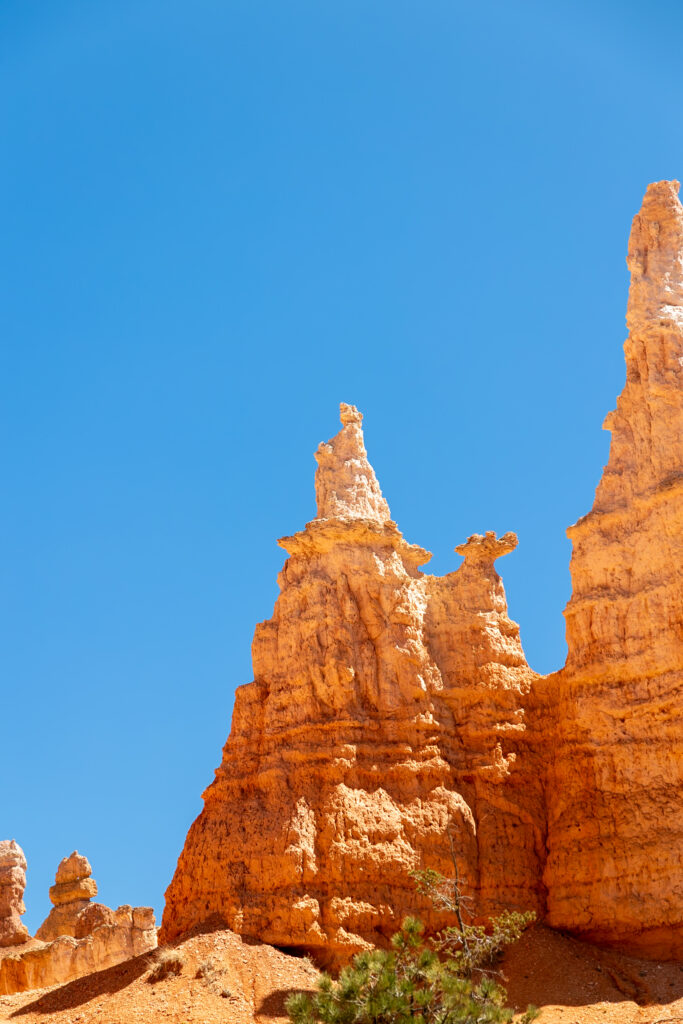
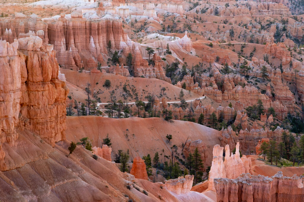
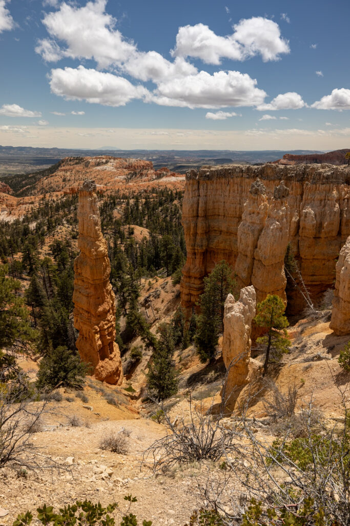
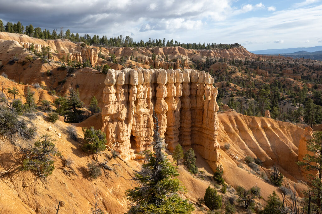
Bryce Canyon National Park is renowned for its iconic hoodoos—thousands of oddly shaped red rock pillars sculpted by erosion. Lucky for you, most, if not all, hikes in the main Bryce Canyon Amphitheater area will reward you with views of them.
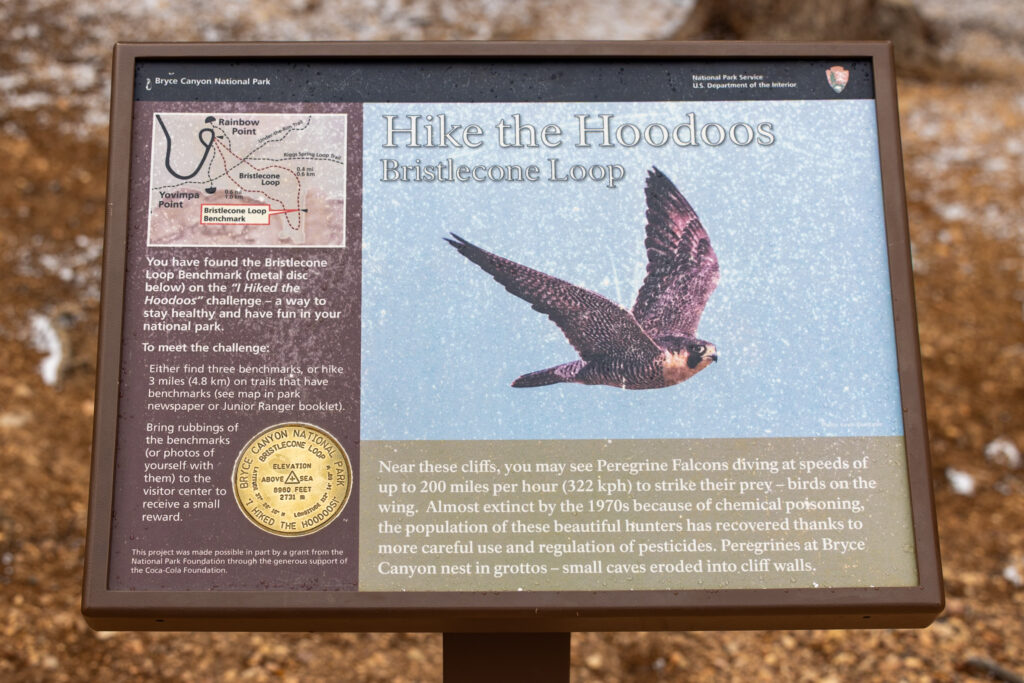
If you’re a fan of prizes, Hike the Hoodoos is a fun initiative where you can earn a reward at the Visitor Center by hiking at least 3 miles and using your junior ranger booklet to sketch the “Hike the Hoodoos” benchmark markers along the way! We’ve put a 🪙 symbol next to the participating trails mentioned in this article so you know which ones qualify!
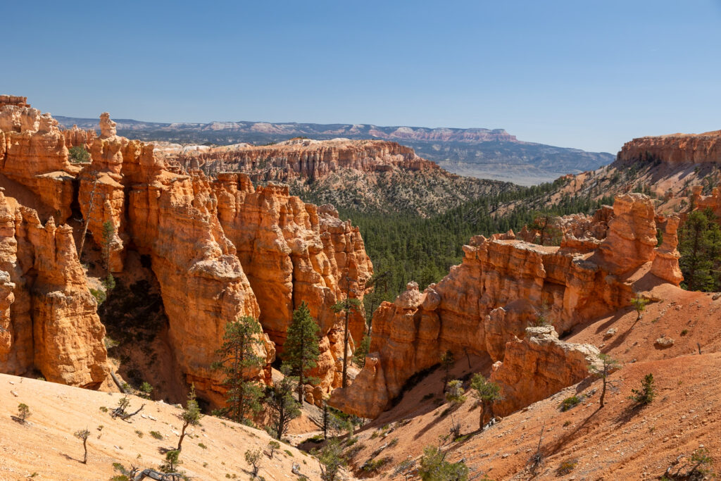
If at any point you find yourself “hoodoo-ed out,” you can always venture into the backcountry of Bryce Canyon for a completely different landscape. One full of serene forests, lush meadows, and even a few waterfalls! In this guide, we’ve included a mix of hikes both within and outside the main amphitheater for whichever mood you’re in.
🥾 Our Favorite Bryce Canyon Hikes at a Glance
👀 Best Hoodoo Views: Peekaboo Loop, taking you to the Wall of Windows.
🍰 Top Short & Sweet Hike: Bristlecone Loop, stretching just over a mile.
🙀 Most Dramatic Views: Navajo Loop, with views of Thor’s Hammer.
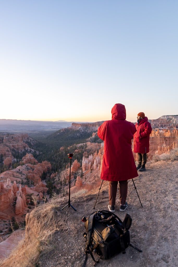
🌄 Best Sunrise Views: Sunrise to Sunset Point, start at Sunrise Point for sunrise.
🏆 Our Overall Favorite Hike: Fairyland Loop, with views of Boat Mesa, Tower Bridge, and more!
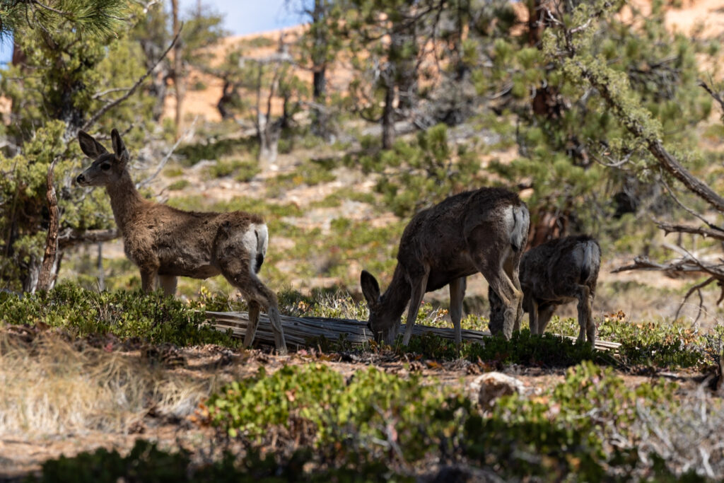
Please respect the outdoors and Leave No Trace! Before embarking on your outdoor adventure, review the seven principles of Leave No Trace, which include planning ahead and preparing, traveling and camping on durable surfaces, disposing of waste properly (pack out what you pack in), leaving what you find, minimizing campfire impacts, respecting wildlife, and being considerate of others. Abiding by these principles helps keep these places beautiful so others can enjoy them for years to come!
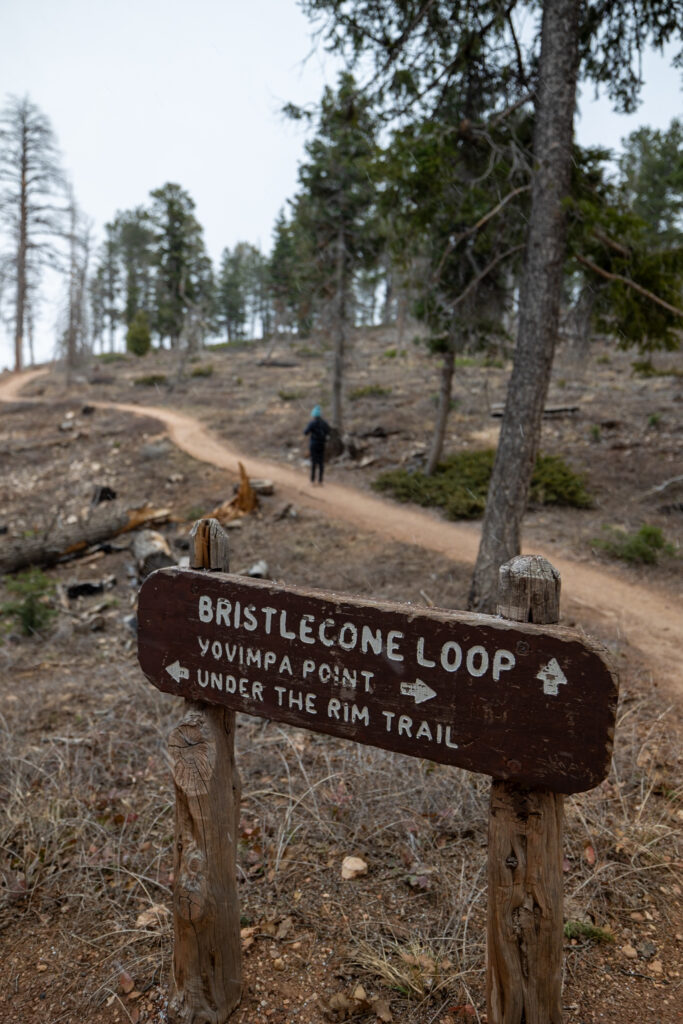
1. Bristlecone Loop 🪙
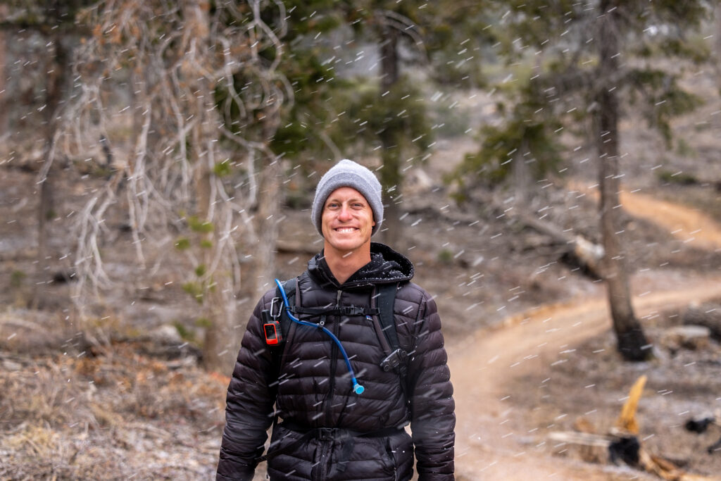
Starting this list with our favorite easy hike in Bryce Canyon, Bristlecone Loop is nestled on the southern end of the park. Although it takes under an hour to hike, don’t let its short length fool you—this trail is the park’s highest elevation hike, at 9,100 feet. This also makes Bristlecone Loop the coldest trail in the park. We certainly felt the temperature drop and experienced both snow and wind, even during our April visit.
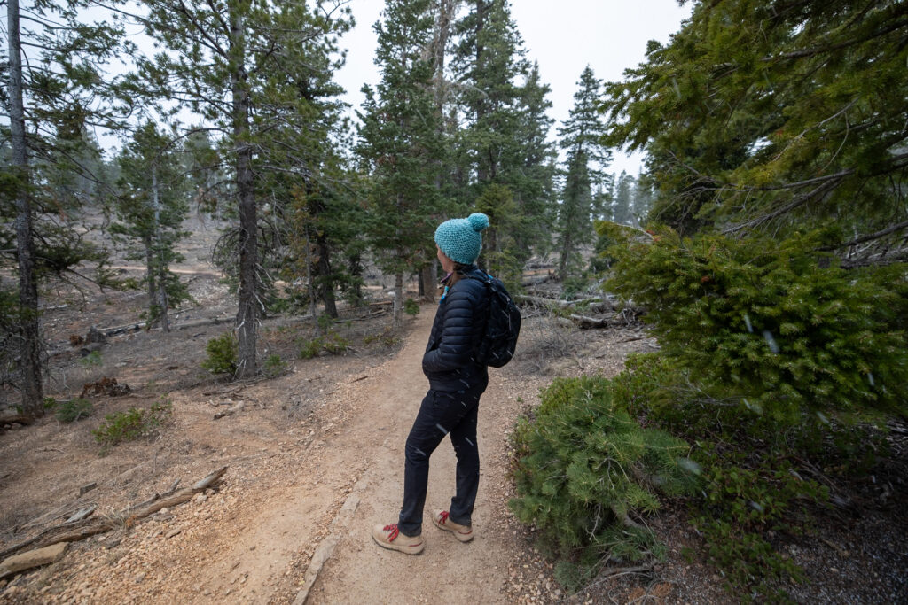
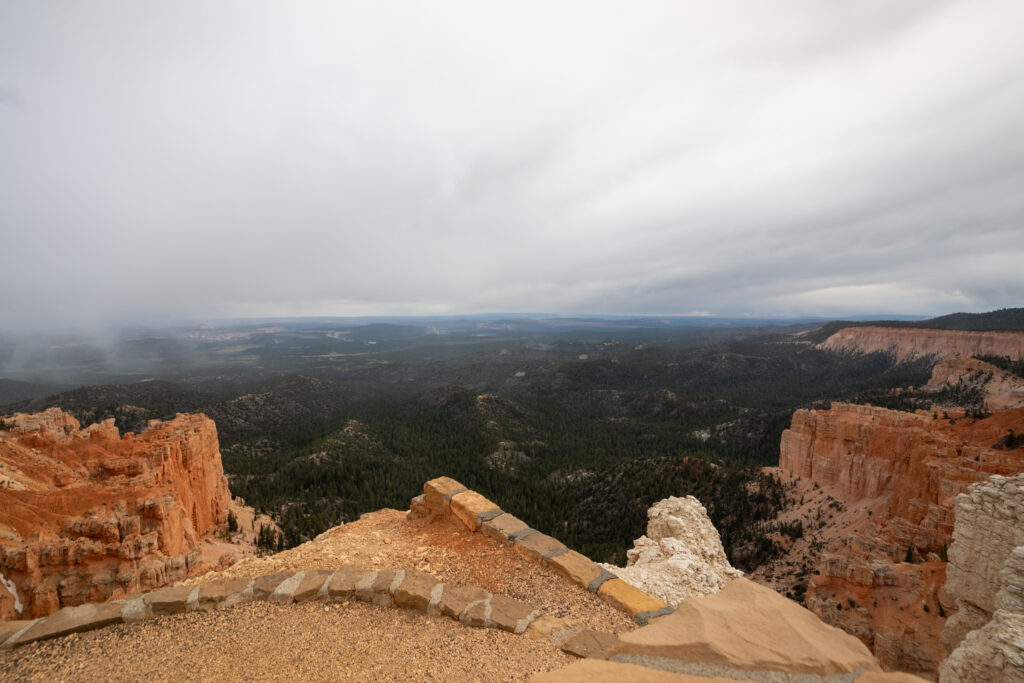
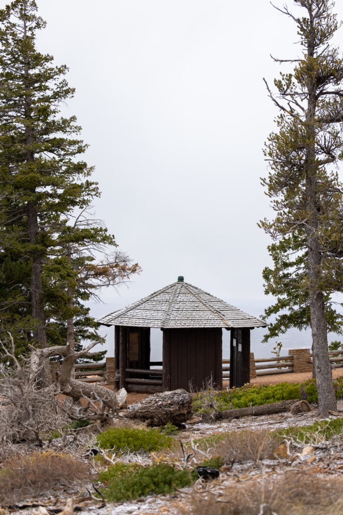
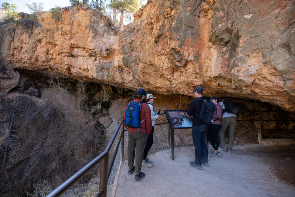
As you wander the loop, you’ll discover a small hut and a lookout point, both offering informative placards detailing the geology of the Grand Staircase—the vast, stair-step formation of colorful rock layers that stretches across Utah and Arizona.
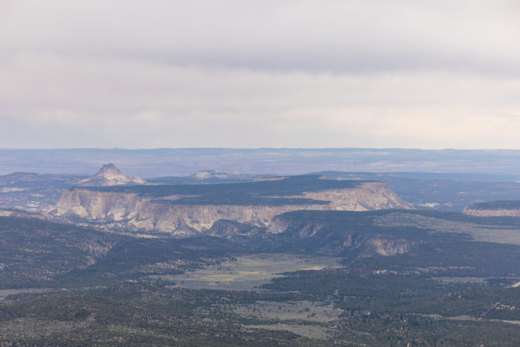
True to its name, the trail is also dotted with ancient Bristlecone Pines. These remarkably resilient trees are famed for thriving in harsh, exposed, and windy conditions. To top it all off, on the clearest of days, the Grand Canyon can even be seen peaking over the horizon.
Distance: 1.2 miles / 1.8 km
Difficulty: Easy
Elevation Gain: 105 feet / 32 meters
Estimated Time: 30 minutes – 1 hour
Type: Loop
Accessible via Shuttle: No
2. Queen’s Garden 🪙
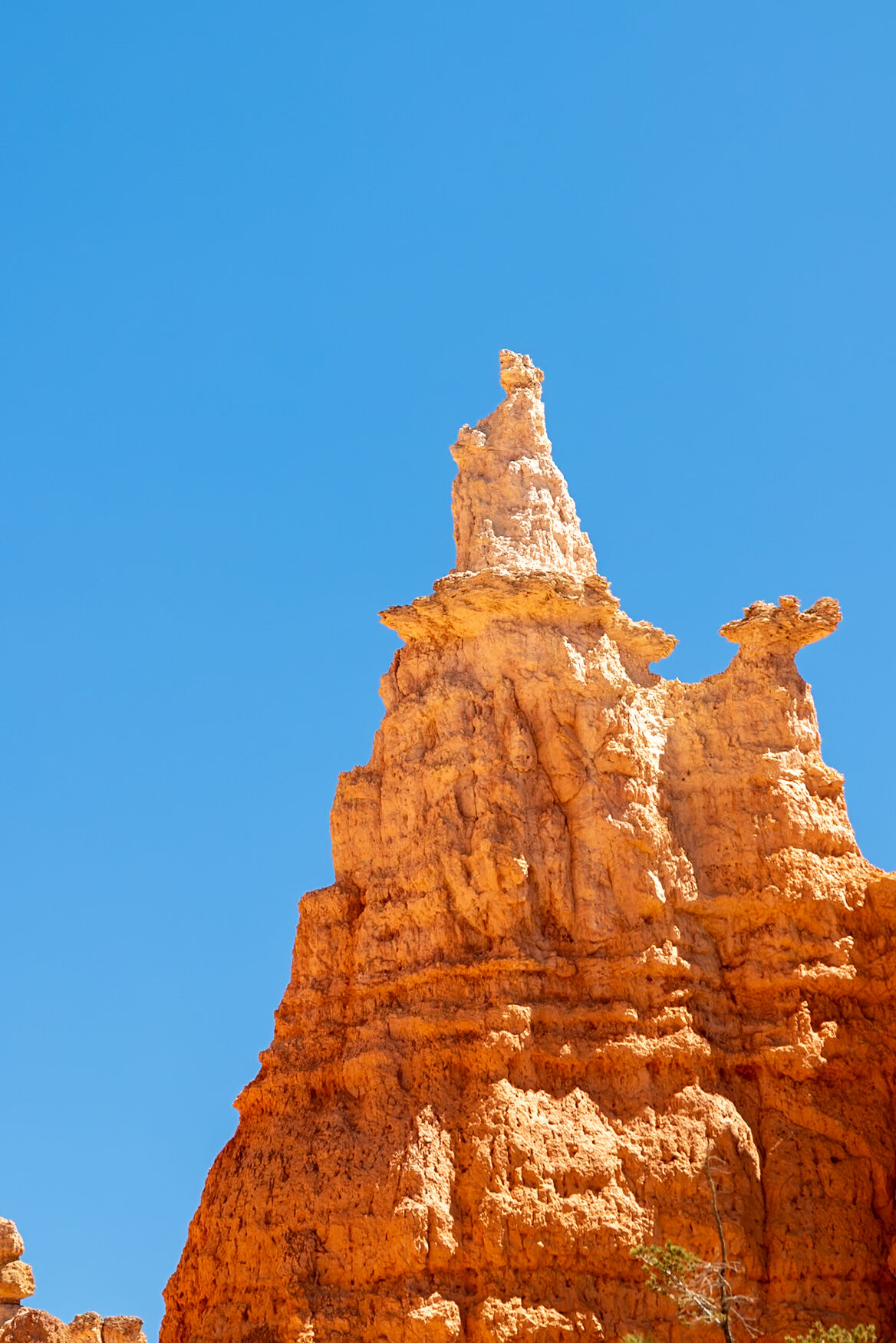
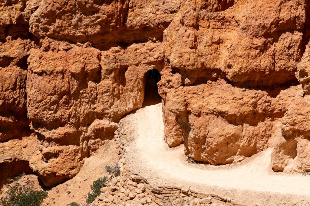
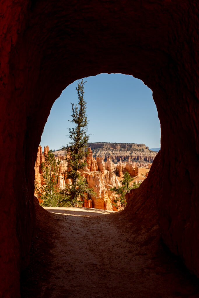
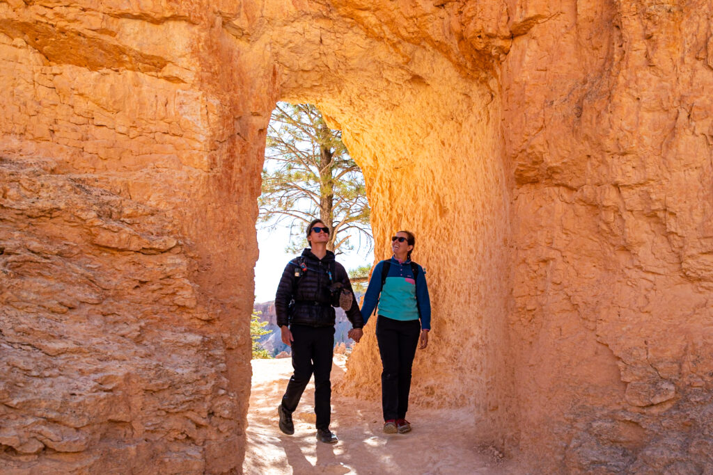
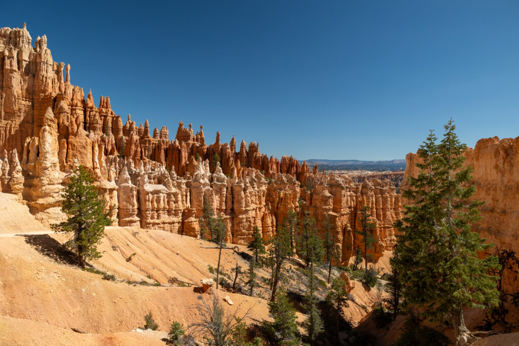
Next up is Queen’s Garden Trail, an enchanting route with wide-open views and unique hoodoos. This lush trail truly made us feel like we were strolling through a “garden” of trees. As you descend, you’ll encounter the iconic “Queen’s” hoodoo formation, said to resemble a statue of Queen Victoria. We loved how this trail wound through several delightful small tunnels, something that added a playful element to our trek.
Given its charming features and relatively easy hiking level, Queen’s Garden did get busy, especially as the day went on. If you’re averse to crowds, make sure to hit the trail early in the morning. As with many trails here, the path features lots of loose rocks and pebbles, so hiking boots or trail runners with good traction are a must for a safe and comfortable hike.
Distance: 2.1 miles / 3.4 km
Difficulty: Moderate
Elevation Gain: 459 feet / 140 meters
Estimated Time: 1 – 2 hours
Type: Out-and-Back
Accessible via Shuttle: Yes, Sunrise Point
3. Navajo Loop 🪙
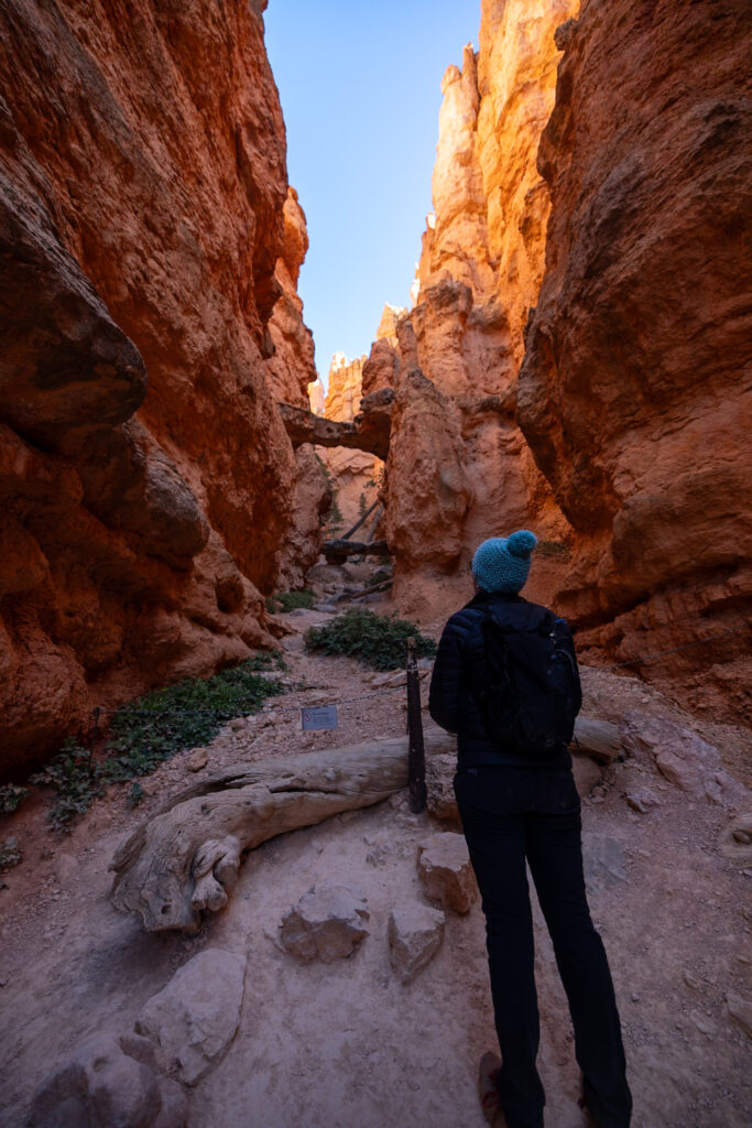
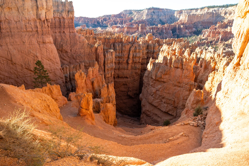
Located on the opposite side of the main amphitheater from Queen’s Garden, the Navajo Loop is instantly recognizable for its iconic, steep switchbacks that plunge hikers down into the heart of the hoodoos. As you descend, you’ll be enveloped by towering Douglas-fir trees before getting to experience Bryce Canyon’s most famous hoodoo—Thor’s Hammer.
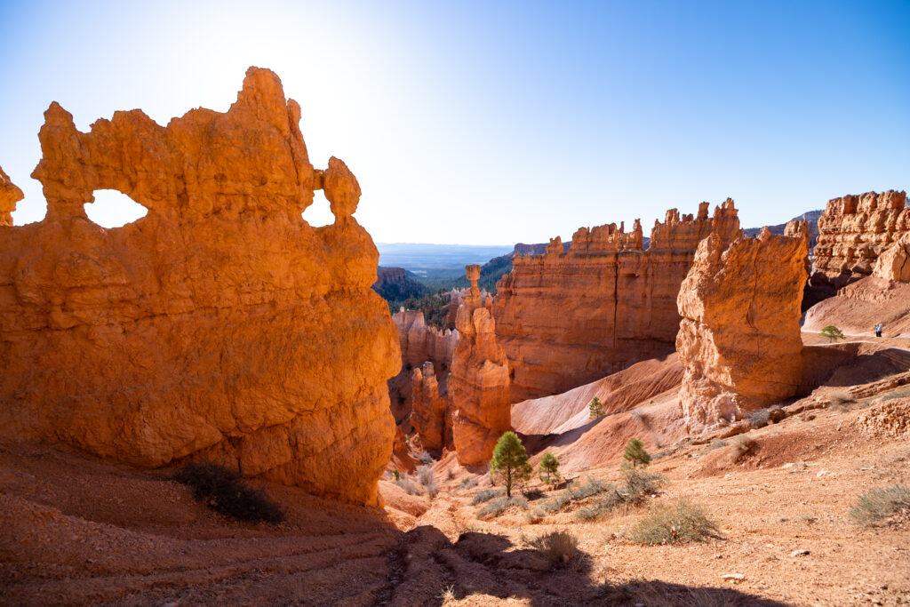
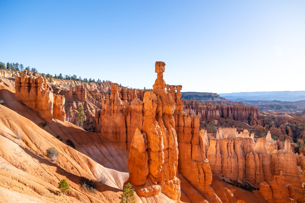
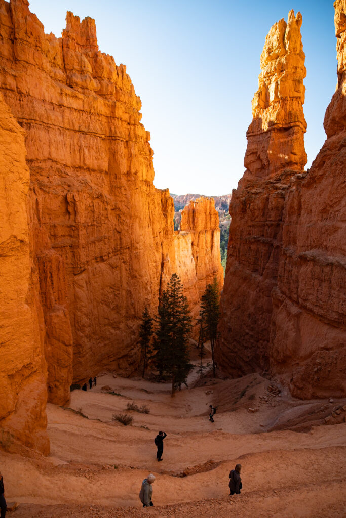
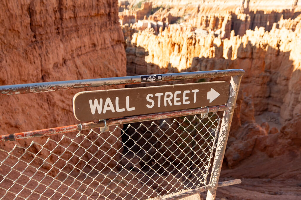
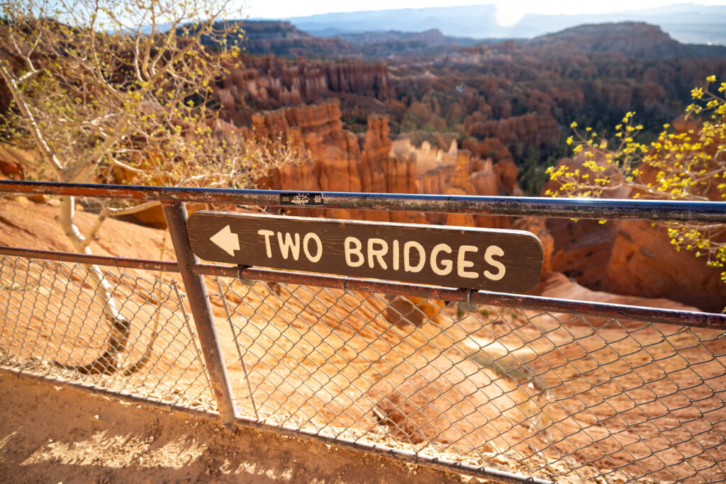
Navajo Loop has two sides: Two Bridges and Wall Street. Unfortunately, Wall Street was closed during our visit (it’s only open during the Summer), leading us down the Two Bridges route (which still offers a lovely small viewpoint area). Regardless of which side you take, the loop has lots of loose rock, so a solid pair of boots is essential on this trail as well.
Distance: 1.5 miles / 2.4 km
Difficulty: Moderate
Elevation Gain: 515 feet/ 157 meters
Estimated Time: 1 hour
Type: Loop
Accessible via Shuttle: Yes, Sunset Point
4. Queen’s Garden & Navajo Loop Combination Trail 🪙
Combining the previous two routes into one, the Queen’s Trail & Navajo Loop is the #1 Bryce Canyon Hike on AllTrails! We loved this combination hike and recommend traveling it clockwise for the best experience. However, if you want a photo of two bridges all to yourself, you’ll want to go counter-clockwise and start early. You’ll descend into the hoodoos via Queen’s Garden from Sunrise Point, ascend the switchbacks of Navajo Loop to Sunset Point, and then complete the journey back to Sunrise Point via the Rim Trail.
Distance: 3 miles / 4.8 km
Difficulty: Moderate
Elevation Gain: 653 feet/ 199 meters
Estimated Time: 1 hour 30 minutes
Type: Loop
Accessible via Shuttle: Yes, Sunset Point
5. Peekaboo Loop 🪙
Peekaboo Loop is a rewarding 3-4 hour hike that takes you to the famous “Wall of Windows.” This unique hoodoo formation truly lives up to its name, featuring natural spaces in the rock that resemble windows.
What really stood out to us about this hoodoo in particular was the striking off-white to rust-red color gradient that moves horizontally through the rock rather than vertically, like most other hoodoos.
While we thoroughly enjoyed this trail, be prepared for a workout. The Peekaboo Loop has multiple sections with significant elevation changes, which continuously have you going up and down. If you’re up for the challenge, it’s completely worth it! Just make sure to pack sufficient water, filling snacks, and throw on a solid pair of hiking boots with good traction.
Distance: 5.2 miles / 8.4 km
Difficulty: Hard
Elevation Gain: 1,529 feet/ 466 meters
Estimated Time: 3-4 hours
Type: Loop
Accessible via Shuttle: Yes, Bryce Point
6. Figure 8 Combination Hike 🪙
The Figure 8 Combination Hike connects the Queen’s Garden & Navajo Loop Hike with the Peekaboo Loop, creating a 6.2-mile (10 km) hike in the form of a figure 8. Combining these three trails in one will take you past some of the most beautiful hoodoos in all of Bryce Amphitheatre, all in one go! The trail has many ups and downs, making our total elevation gain during the entire hike 2,000 feet. Safe to say, we were exhausted by the end, but the views definitely made it worth it.
Distance: 6.2 miles / 10 km
Difficulty: Hard
Elevation Gain: 1,480 feet/ 451 meters
Estimated Time: 3-4 hours
Type: Loop
Accessible via Shuttle: Yes, Sunset Point
7. Sunrise to Sunset (or vice versa)
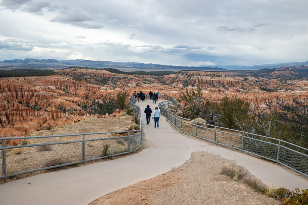
An accessible favorite, the Sunrise to Sunset section of the Rim Trail is Bryce Canyon’s only dog-friendly path! This paved trail, with just 85 feet of elevation gain, is dotted with benches, and its smooth surface makes it perfect for wheelchairs and strollers. Overall, you can expect breathtaking views of the hoodoos without much strain!
That being said, this trail gets incredibly busy—by 1 PM, it was packed. Our guess is due to it being the only dog-friendly trail in the park, along with its proximity to the Visitor Center. Start this trail early, like we did, if you’re crowd-averse. Other than that, this is a relatively quick hike with some amazing views that can be hiked in either direction.
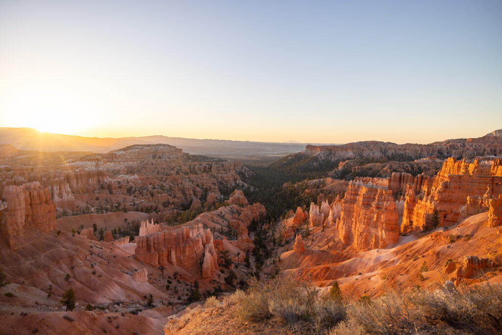
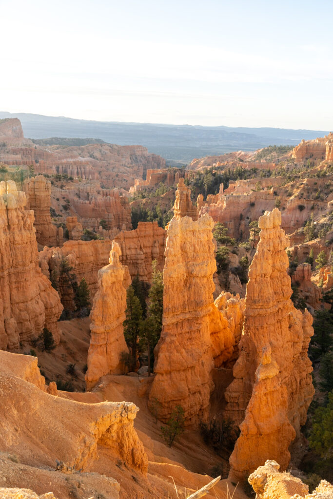
🌄 Watch the Sunrise: Get up early to watch the sun rise from Sunrise Point, it really lives up to its name! That being said, we found Sunset Point a bit underwhelming as a sunset-watching point, so we wouldn’t recommend this overlook for sunset.
Distance: 1.2 miles / 1.9 km
Difficulty: Easy
Elevation Gain: 85 feet / 26 meters
Estimated Time: 1 hour
Type: Out-and-Back
Accessible via Shuttle: Yes, Sunrise Point or Sunset Point
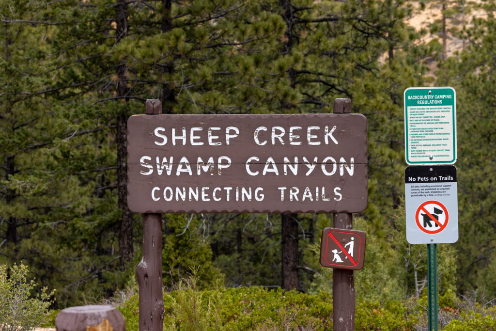
8. Sheep Creek & Swamp Canyon Loop 🪙
Sheep Creek & Swamp Canyon Loop Trail is a great trail if you’re craving some solitude and looking to see forest, meadows, and open canyon all in one hike! We didn’t have time to get to this one on our trip, but wanted to include it as it is a part of the Hike the Hoodoo’s program. We’ve read suggestions to do this loop counterclockwise, going right at the fork towards Swamp Canyon.
If you’re looking for a shorter version, you can just hike the Out-and-Back Swamp Canyon Connector Trail. This will cut your trip down to 1 to 1.5 hours instead of 2 to 3. You’ll still start at the Swamp Canyon Parking Lot, but turn around once you hit the Under the Rim Trail.
Distance: 4.4 miles / 7.1 km
Difficulty: Moderate
Elevation Gain: 859 feet/ 262 meters
Estimated Time: 2-3 hours
Type: Loop
Accessible via Shuttle: No
9. Rim Trail
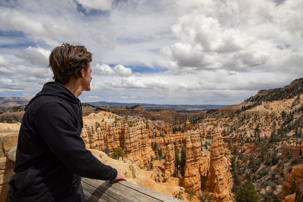
Rim Trail offers a “choose your own adventure” experience in terms of distance. While it spans an intimidating 11 miles (17.7 km) overall, you can walk as far as you like before turning back, which is exactly what we did. This flexibility makes it an excellent hike to enjoy unobstructed views of the hoodoos and the sprawling amphitheatre from above, without needing to commit to a full-day trek.
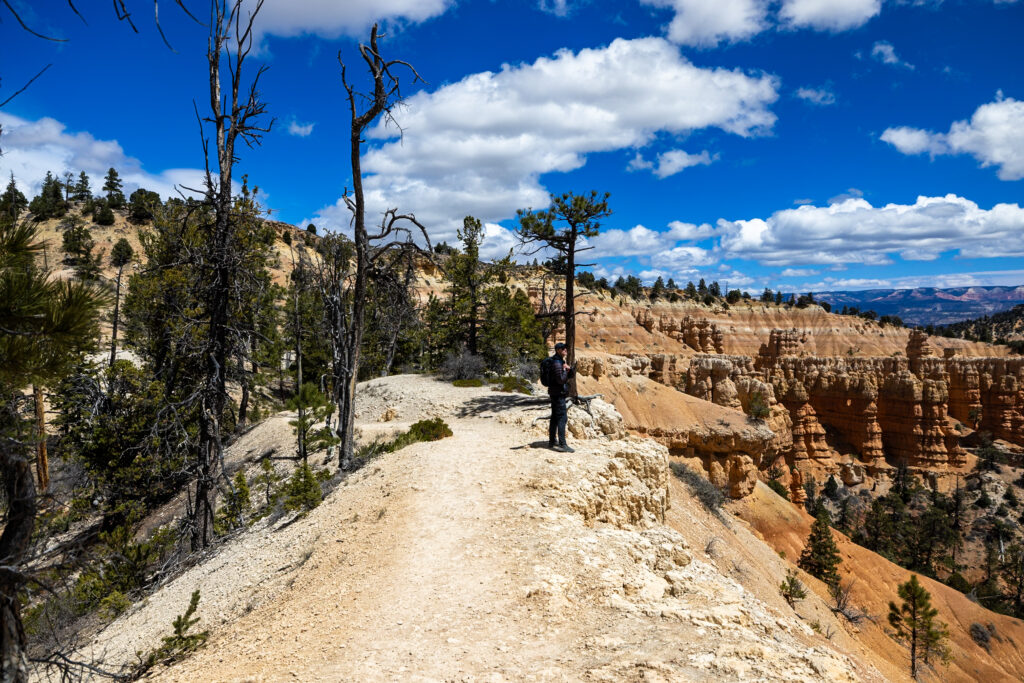
During our visit, we combined two sections, a pleasant 0.5-mile (0.8 km) stroll from Sunrise to Sunset Points, and a longer 2.5-mile (4.02 km) stretch from the end of Tower Bridge Trail to Fairyland Point. The latter particularly impressed us, taking us past views that looked down on countless hoodoos, as well as through a plateau area filled with grasses, which was a cool change of scenery.
Distance: 11 miles / 17.7 km
Difficulty: Hard
Elevation Gain: 1,568 feet/ 478 meters
Estimated Time: 5-6 hours
Type: Out-and-Back
Accessible via Shuttle: Yes, Bryce Point
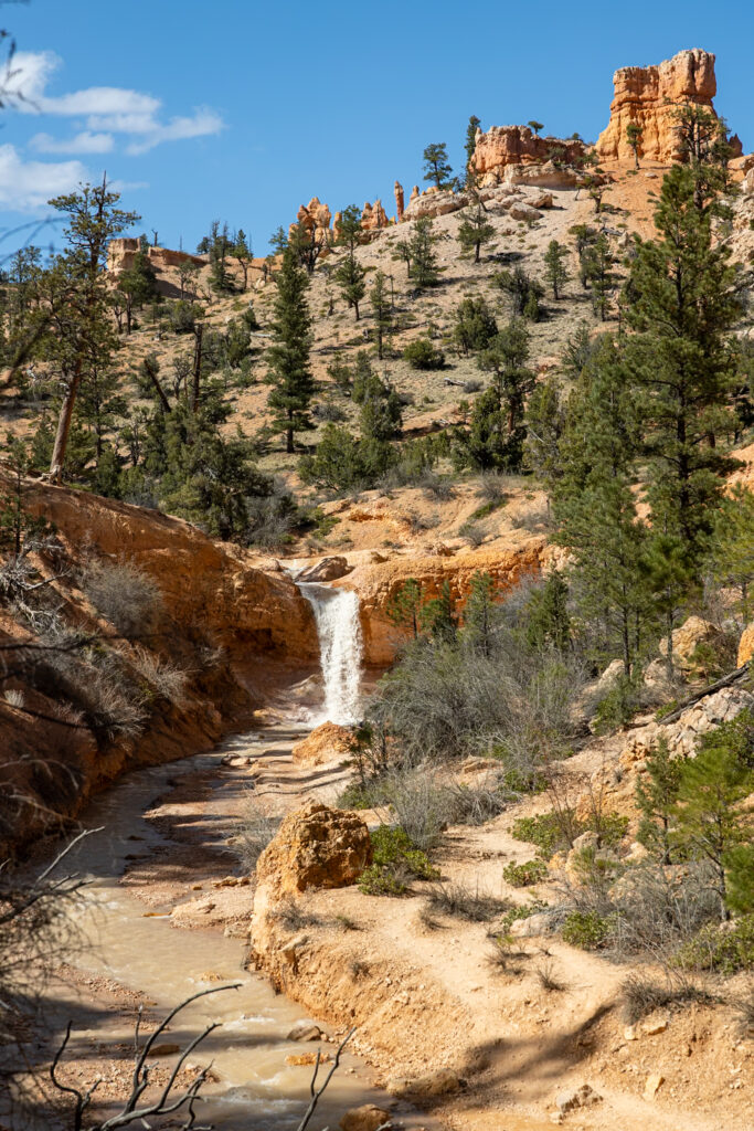
10. Mossy Cave 🪙
Mossy Cave was our second favorite short trail in Bryce Canyon National Park after Bristlecone Loop. This peaceful hike meanders alongside Water Canyon, leading you over two charming bridges to a pair of unique attractions. One is a waterfall created by Mormon settlers who decided to trench Tropic Ditch for agricultural purposes. The other is a small grotto where icicles are famously known to form.
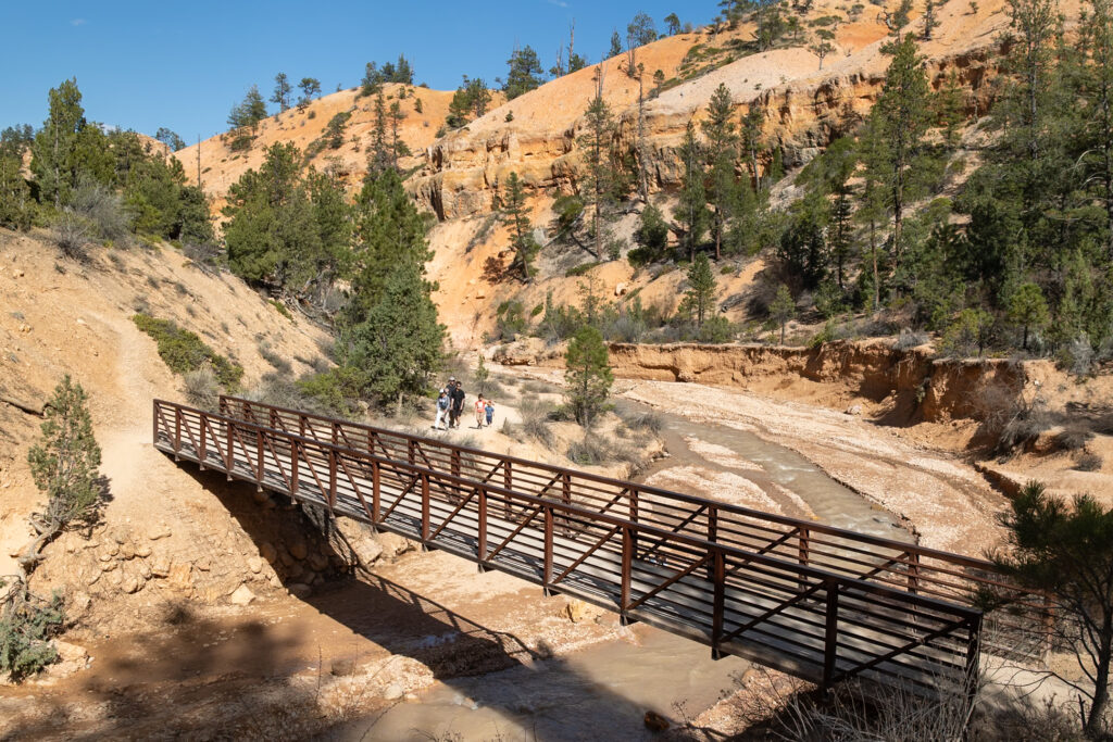
This trail gets quite popular as it is located just outside the main fee station and is a relatively easy hike. The parking situation can get tight (there’s no shuttle here), but in addition to the small lot, there’s an RV overflow area about 1,000 feet down the road. Plan to arrive early or be prepared for a wait, and remember to never park along the roadside to protect the delicate plant life.
Distance: 0.9 miles / 1.4 km
Difficulty: Easy
Elevation Gain: 121 feet / 37 meters
Estimated Time: 1 hour
Type: Out-and-Back
Accessible via Shuttle: No
11. Fairyland Loop 🪙
Ending our list with our absolute favorite hike in Bryce Canyon, the Fairyland Loop is an unforgettable, immersive experience into the northern end of Bryce Amphitheater. This trail provides significantly more solitude than the park’s busier trails and, while challenging, plunges you into the heart of the hoodoos.
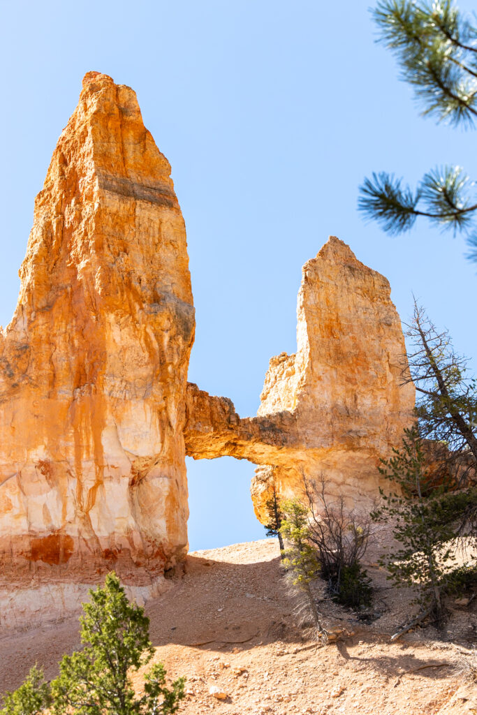
While on this trail, you’ll pass views of iconic formations like Sinking Ship, Boat Mesa, Tower Bridge, and the impressive Chinese Wall. We decided to stop for lunch at the Tower Bridge Viewpoint, roughly halfway through, before continuing on to the final section along the Rim Trail.
The final stretch is particularly amazing, with elevated views and a unique traverse across a grassland plateau! All this being said, be prepared for considerable elevation changes throughout this hike, which does bump up the difficulty, as well as the potential for high winds.
🥾 Tip From NPS: You can start this hike from either Fairyland Point or on the Rim Trail north of Sunrise Point at the Tower Bridge trailhead. We recommend hiking in a counter-clockwise direction.
Distance: 7.9 miles / 12.7 km
Difficulty: Moderate
Elevation Gain: 1,555 feet / 474 meters
Estimated Time: 4-5 hours
Type: Loop
Accessible via Shuttle: Yes, if you start at Sunrise Point
🗺️ Map of the Best Bryce Canyon Trails
Below we’ve pinned all of the trails mentioned in this article, excluding the Figure 8 Trail as that’s a combination of 3 different trails already pinned. This map is to give you a general sense of where each trail is located in the park, but we recommend referring to AllTrails to actually find the trailhead and guide you during the hike.
How to use this map: We have saved the locations from this guide on this map. You can save this map to your Google Maps by pressing the star icon. In your Google Maps, click the menu icon and then Saved Maps, where this map will appear.
With offline maps, wrong-turn alerts, and extra planning features, make the most of every outside adventure with AllTrails Plus. Get 7 days of AllTrails Plus for free!
🌤️ When To Visit Bryce Canyon National Park
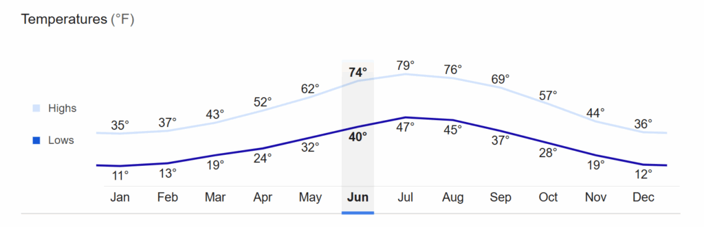
Choosing the best time to visit Bryce Canyon often depends on your preferences for weather, crowd levels, and facility access, as each season offers a unique combination of these factors. Here’s a breakdown of each:
- Winter in Bryce Canyon – For a truly magical, quiet experience, winter transforms the hoodoos into a snowy wonderland, but some roads and facilities may be closed. Always check the current forecast and road conditions before your trip.
- Summer in Bryce Canyon – While most people visit during the summer for pleasant days (60s-80s F), be prepared for frequent afternoon thunderstorms in July and August and more crowds.
- Spring and Fall in Bryce Canyon – The shoulder seasons of spring and fall (we visited in late April) offer a fantastic balance of fewer crowds and comfortable temperatures, though snowstorms aren’t unusual as early as October, and nighttime temperatures fall below freezing from October through May.
💡 3 Tips for Hiking in Bryce Canyon
1. Acclimate to the Altitude
Given Bryce Canyon’s high altitude (8,000-9,000+ ft), even easy hikes can feel more strenuous. Drink plenty of water, take it easy for your first day or two, and always listen to your body, descending if altitude sickness symptoms like headaches or nausea persist.

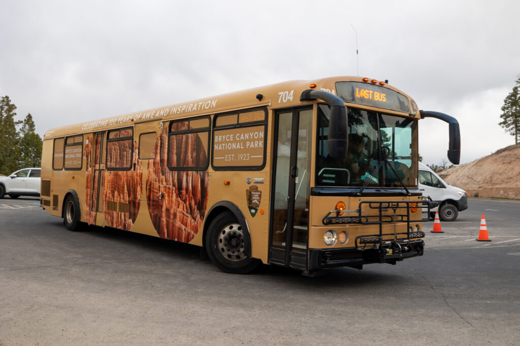
2. Utilize the Free Park Shuttle
Parking lots, especially during peak season, fill up incredibly fast. Save yourself the stress and hassle by taking the convenient free park shuttle, which provides access to most major viewpoints and trailheads within the amphitheater area.
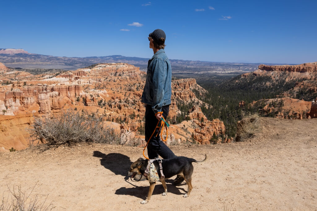
3. Have a Plan for Pets
If traveling with a furry friend, be aware that pets are generally not permitted on Bryce Canyon’s unpaved hiking trails. They are welcome on paved paths (like the Rim Trail between Sunrise and Sunset Points and the Multiuse Path), viewpoints, campgrounds, and picnic areas, but no other trails.
🥾 What to Pack for Hiking in Bryce Canyon
Sun Protection
- Sunscreen – No matter the time of year you visit, sunscreen is essential to protect your skin from the sun.
- Sunglasses – Protect your eyes with your favorite pair of sunglasses.
- Wide-brimmed hat – As part of sun safety, we love pairing sunscreen with wide-brimmed hats.
- Sun Shirts – Light, sunshirts are great for protecting against the sun! Here is Elliot’s favorite long-sleeve sun shirt and Jen’s favorite long-sleeve sun shirt.
- Refillable Water Bottle – Staying hydrated is a key part of sun safety. We love this water bottle featuring all of the US National Parks with stickers to check off your visits.
- Water Bladders – A water bladder is super helpful to pack in more water without adding extra weight.
Hiking Essentials
- Hiking pants – We recommend hiking pants to protect against the sun and trails with higher grasses. Elliot’s favorite hiking pants and Jen’s favorite hiking pants.
- Layers – As the weather can vary a lot in Bryce Canyon, come prepared with layers of fleece jackets, long sleeves, and even coats if you’re coming in the middle of winter.
- Rainjacket – You never know what weather awaits you when travelling in a national park. If you’re looking for a new rain jacket fit for hiking, this is Elliot’s favorite rain jacket and Jen’s favorite rain jacket.
- Hiking Boots – Solid footwear with good traction is a must whenever hiking in Bryce Canyon, as many trails have lots of loose rocks you’re stepping over. Here are Elliot’s favorite trail runners and Jen’s favorite hiking boots.
- Lightweight backpack – Elliot carries this backpack with the included rain cover, while Jen carries this backpack.
- Hat and Gloves – Especially if you’re visiting in the shoulder seasons (spring and fall) or winter, packing a hat and gloves for extra warmth is a must.
- Snacks – We always make sure to pack protein-rich, lightweight snacks with us while hiking.
Safety Essentials
- Trail Maps – We love using AllTrails+ to download maps ahead of time.
- GPS – We carry the Garmin InReach Mini 2 with us on all trails for safety.
- First Aid Kit – This first aid kit is one of those items we hope to never have to use but always carry, just in case.
- Headlamp – A headlamp is especially useful when going on sunrise, sunset, or night hikes in Bryce Canyon.
📰 Related Articles
- Our 7 Favorite Short and Easy Hikes in Bryce Canyon
- 13 Best Things to Do in Bryce Canyon in 2025
- 1 Day in Bryce Canyon National Park: Itinerary & Ultimate Guide
📺 Watch on YouTube
🔍 Ready to Explore Bryce Canyon?
Pin this guide to the best hikes in Bryce Canyon National Park to make planning your upcoming trip a breeze!


Leave a Reply
You must be logged in to post a comment.