

Two things you need to know when planning a trip to Voyageurs National Park are that there are no roads into the park and a third of the park is water. As you can imagine, that made planning our trip to this park just a tiny bit more difficult, to say the least.
We spent weeks looking at Voyageurs National Park maps trying to plan our route, and none of it really clicked until we were physically there. In hopes of helping you feel more prepared than we were, we’ve created the guide to Voyageurs National Park we wish we’d had.
Below you’ll find our own map of Voyageurs National Park, an explanation of how the park layout actually works, all 4 visitor centers and where they’re located, and how you get from one part of the park to another. Plus, we’ve included a few official NPS maps worth downloading before you go. Let’s get into it!
Note: We use affiliate links which provide us a little kickback each time you use one of our links and make a purchase, without any additional cost to you. We do not recommend products that we don’t already love or have heard great things about, so you can trust we’re only suggesting great products to you.
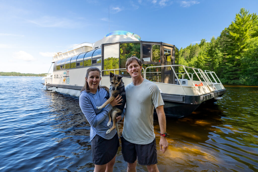
Understanding the Layout of Voyageurs National Park
Voyageurs National Park covers about 218,000 acres in northern Minnesota, right up against the Canadian border. More than a third of that is water. There are over 30 lakes inside the park and hundreds of islands, all of them carved out by glaciers.
Four big lakes make up most of the park—Rainy Lake, Kabetogama Lake, Namakan Lake, and Sand Point Lake. There’s also Crane Lake which sits at the southeastern corner and works as the fourth gateway into the park, even though the park itself starts on its north shore.
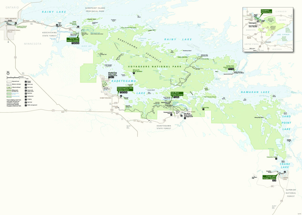
In the midst of all this water is the Kabetogama Peninsula, a huge chunk of land with no road to it. Although you can’t drive to this peninsula (nor anywhere really in the park, for that matter), you can drive to the edges and then go in by boat.
We’ve cruised America’s Great Loop and spent time in Canada, and honestly, this park reminded us of those trips more than anywhere else in the lower 48. The fact that you can get this kind of remote cruising in a US national park kind of blew our minds.
The 4 Visitor Centers of Voyageurs National Park
Since June 2025, the park now has 4 visitor centers, not 3. The newest addition is the Crane Lake Visitor Center, opened to celebrate the park’s 50th anniversary. This officially made Voyageurs have a visitor center in each of its four gateway communities.
Through the summer season, all four are open 7 days a week, 9 AM to 5 PM. They sit in a rough line along the southern and western edges of the park, and each one opens onto a different lake. We recommend picking a Visitor Center and planning your trip deeper into Voyageurs from there.
1. Rainy Lake Visitor Center
Rainy Lake Visitor Center is the northwesternmost of the four centers, and the closest to the town of International Falls. This is the visitor center most people hit first, and what we recommend for the majority of first-time visitors.
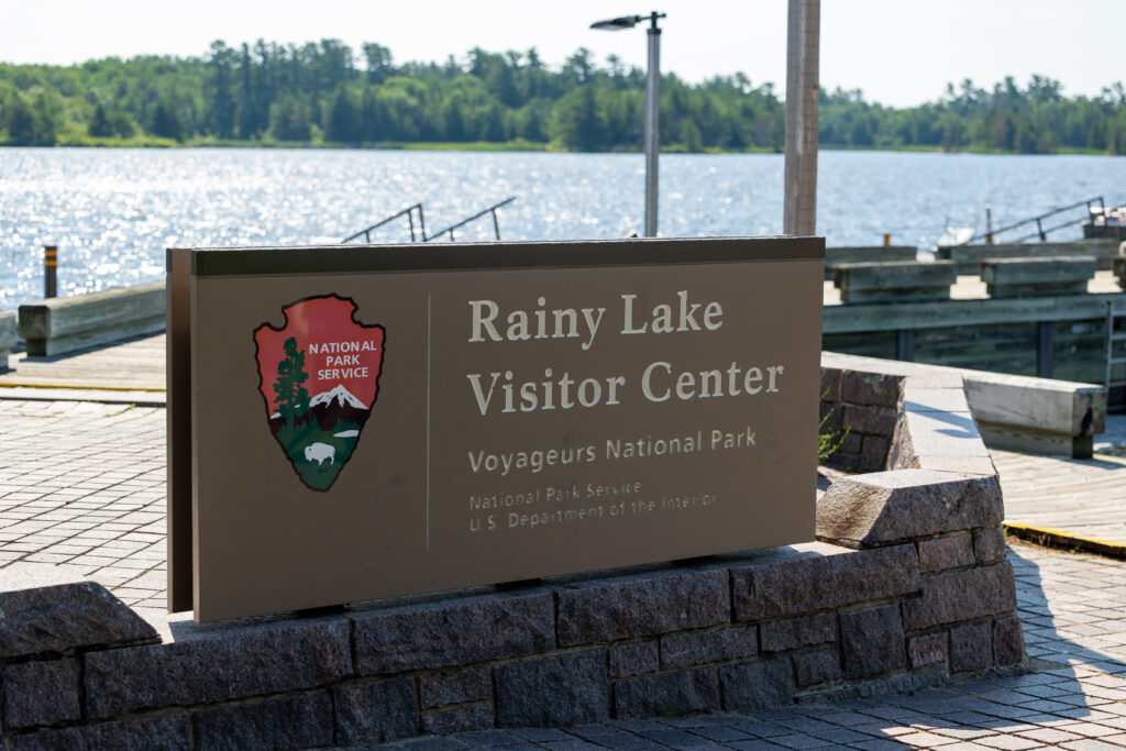
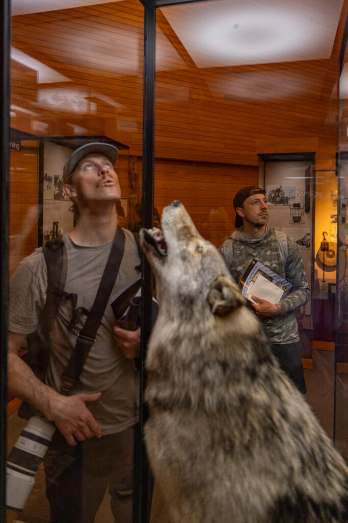
It’s also the only visitor center open year-round, which makes it the default choice if you’re going in the winter. Inside, there’s an exhibit area, a bookstore, a staff information desk, a children’s activity table, and a theater where you can watch the park film. Outside, you also have the Rainy Lake Ethnobotanical Garden, which walks you through how the Ojibwe used native plants.
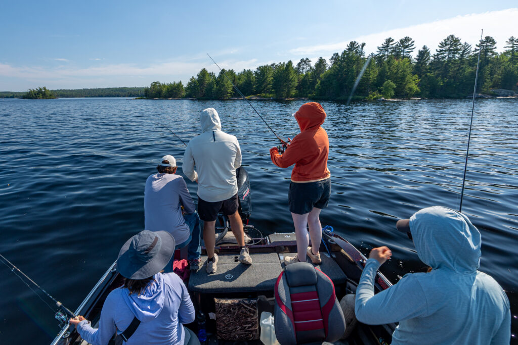
This is where we took the ranger-led boat tour from. If you only have one day in Voyageurs, we recommend spending it here. Getting on the water is the best way to really experience this park, and Rainy Lake has enough open water that a big tour boat makes sense. We saw bald eagles and loons on our tour, while other tours that week saw moose and black bears too!
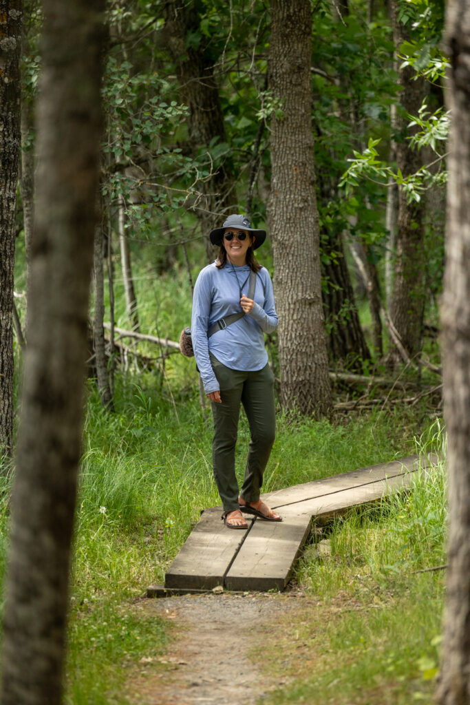
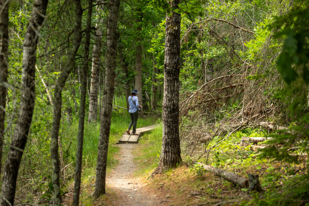
🥾 Want to hike? The easy Oberholtzer Trail starts near the Rainy Lake Visitor Center and can be explored by foot within an hour.
2. Kabetogama Lake Visitor Center
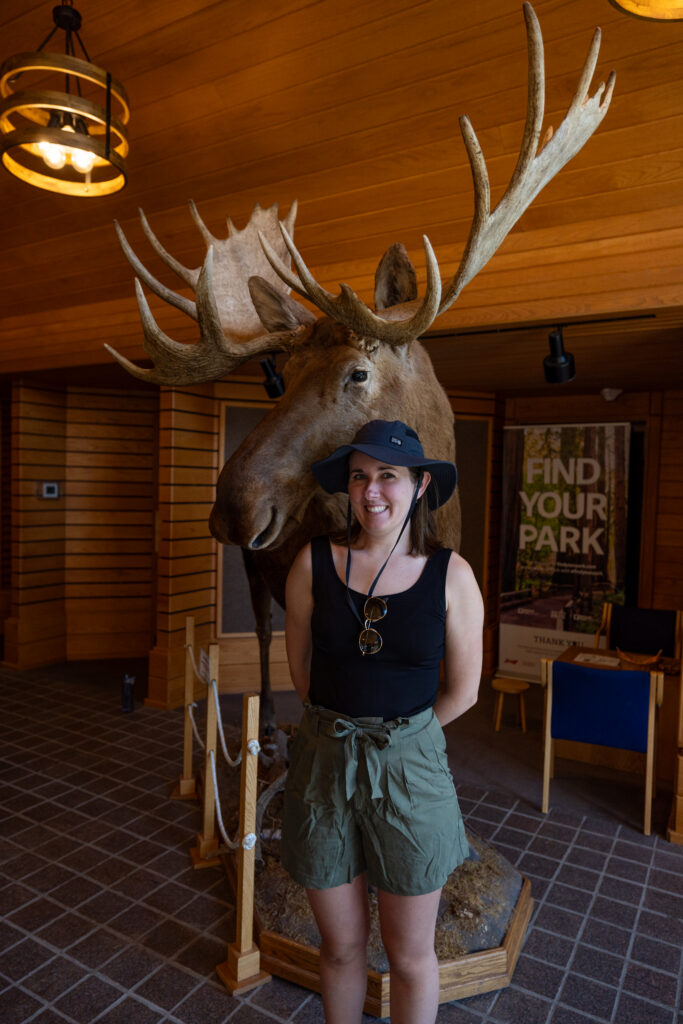
Kabetogama Lake Visitor Center is located right on the shores of Kabetogama Lake. It is open late May through late September for the summer season, then again from the beginning of January to the end of March for the winter.
Kabetogama is more sheltered and island-scattered than Rainy Lake, which makes it a favorite for canoeing and kayaking rather than big open-water crossings.
You can reach the Ellsworth Rock Gardens from this lake as well, the most visited day-use site in the park. We didn’t make it here ourselves, but most people that we talked to on the water said it wasn’t worth the detour. Take that with a grain of salt though, since plenty of visitors clearly go to it for a reason.
🥾 Nearby hike! The closest hike to this visitor center is Echo Bay Trail, an easy loop trail that is known to have beaver sightings.
3. Ash River Visitor Center
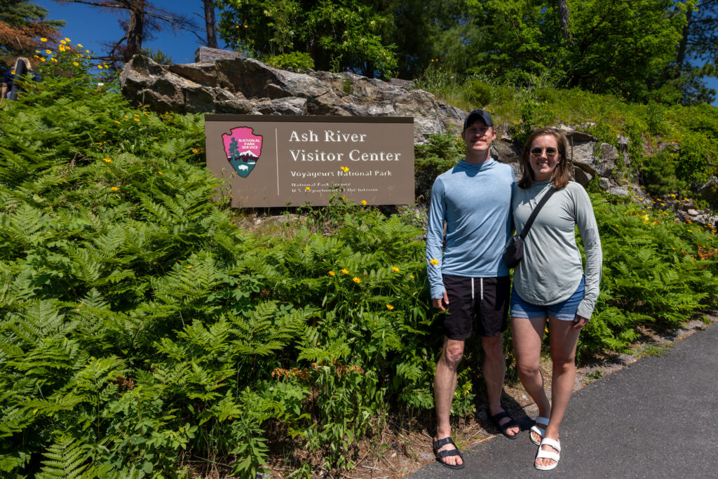
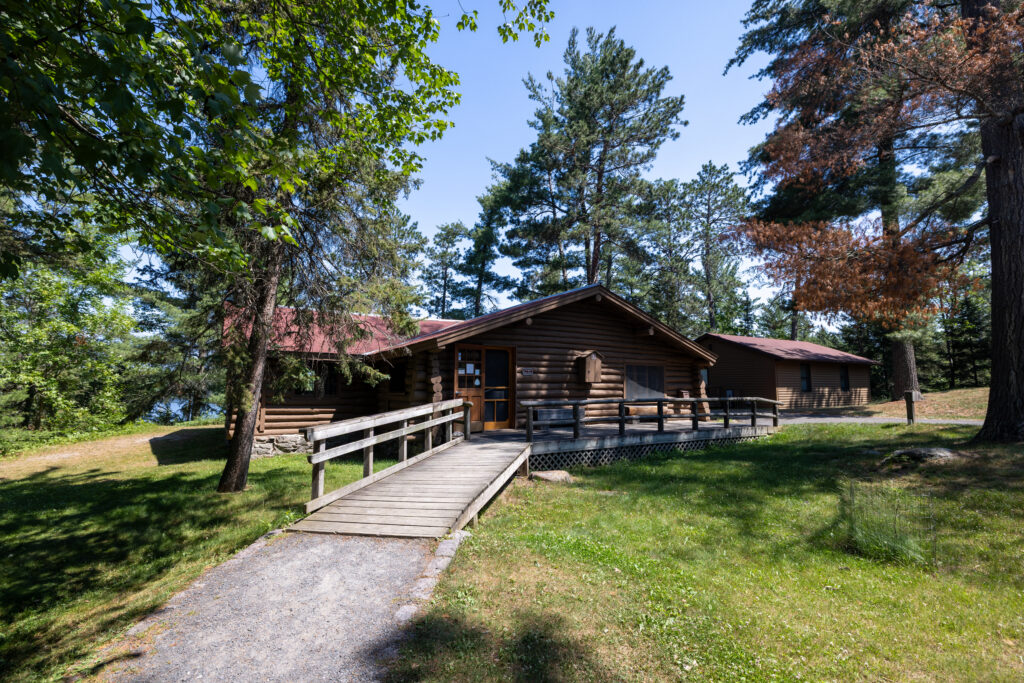
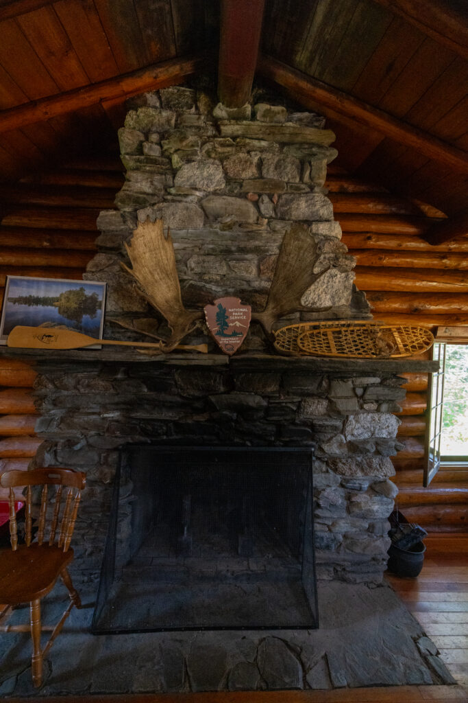
The coziest of the centers, Ash River Visitor Center is housed in the historic Meadowood Lodge. It only opens in the Summer, from late May to late September, and closes all winter. This is the quietest of the four visitor centers, and a solid launch point if you want to get onto Kabetogama or Namakan without the crowds.
There are also several great hikes and overlooks in the area such as Kabetogama Lake Overlook, Sullivan Bay Trail, Beaver Pond Overlook, and more! You can find these trails, and others, pinned below on our map of Voyageurs National Park.

With offline maps, wrong-turn alerts, and extra planning features, make the most of every outside adventure with AllTrails Plus. Get 7 days of AllTrails Plus for free!
4. Crane Lake Visitor Center
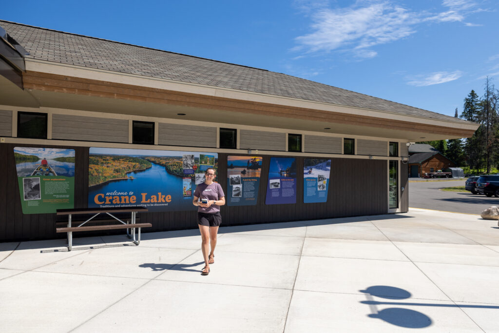
Crane Lake Visitor Center is the newest center, located at the southeastern end of the park. It opened on June 6, 2025, as part of the park’s 50th birthday.
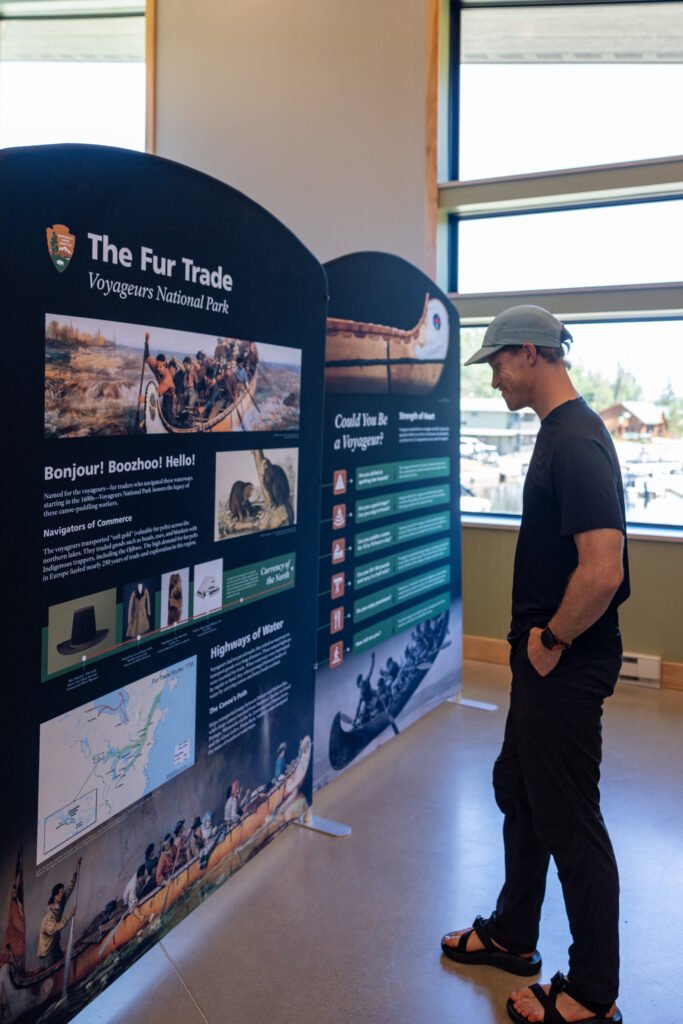
There’s a park film shown here, as well as exhibits covering dark skies and Indigenous history. The Crane Lake Voyageur RV Park and Campground as well as Norway Lodge (both pinned on our park map) are located right next door. We loved the films at this visitor center, specifically the video from the wildlife cameras.
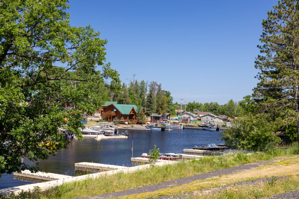
Crane Lake is a jumping-off point for the houseboat fleets and the eastern waterways, and it’s also a gateway to the Boundary Waters to the east. If your plan involves a multi-day boat trip rather than day trips from shore, this is likely where you’ll end up.

Which Visitor Center Should You Start At?
If you just have one day in the park, we recommend sticking to Rainy Lake Visitor Center. Take the ranger boat tour and walk the Oberholtzer Trail. If you’re visiting in the dead of winter, Rainy Lake or Kabetogama are your only options as the other two centers are closed. And if you’re looking for the quietest experience, Ash River is your best bet. If you want to hit all four, here are the driving times between each visitor center.
| Route | Time | Distance |
|---|---|---|
| Rainy Lake → Kabetogama Lake | 45 min | 38.4 mi |
| Kabetogama Lake → Ash River | 24 min | 17.7 mi |
| Ash River → Crane Lake | 1 hr 12 min | 65.1 mi |
| Total | ~2.5 hrs | ~121 mi |
How to Get Around Voyageurs National Park
You might think that moving by boat is the ambitious way to get around this park, but it’s actually the other way around. While all of the visitor centers are accessible by car, you’d be missing all the good stuff—the islands, the cliffs, the old resort cabins, and all 275 campsites and day-use sites. Here are all the ways to move around the waters of Voyageurs National Park:
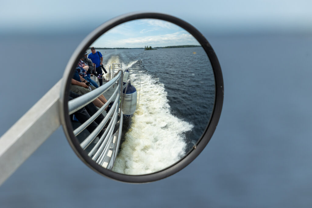
- Ranger-led boat tours: These boat tours are the single best thing you can do with one day in this park. For $50-$85 per adult, you can ride on a boat for anywhere from 2.5 to 6.5 hours while a ranger narrates everything you’re seeing. We did the Grand Tour of Rainy Lake (link to things to do article), which is the most popular, and can’t recommend it enough!
- Water taxis: Authorized operators can also drop you at a trailhead, a campsite, or a historic site and pick you up later. This is the best way to quickly get you into the interior of the park without having to navigate yourself or pay for a full tour. You can find a list of commercial water taxis on this NPS page.
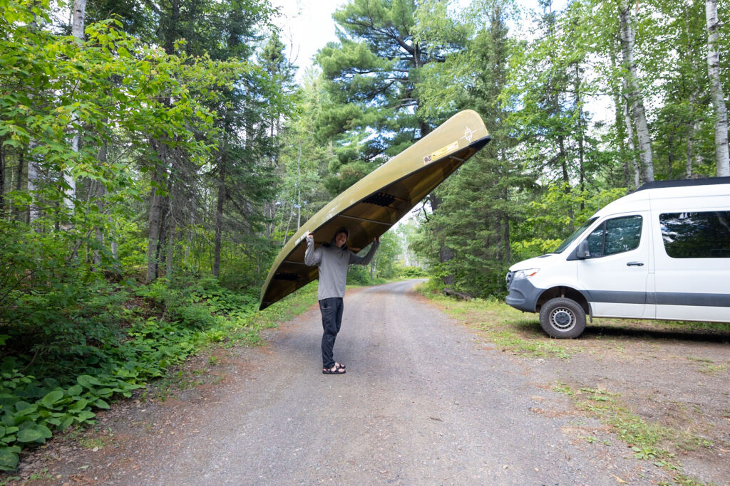
- Small boat rentals: Canoe, kayak, and even motorboat rentals are also available in the gateway communities. If you’re paddling, the ranger advice we got was to hug the shoreline, because the main channel gets used by motorboats and seaplanes. You can find a list of local outfitters on this NPS page.
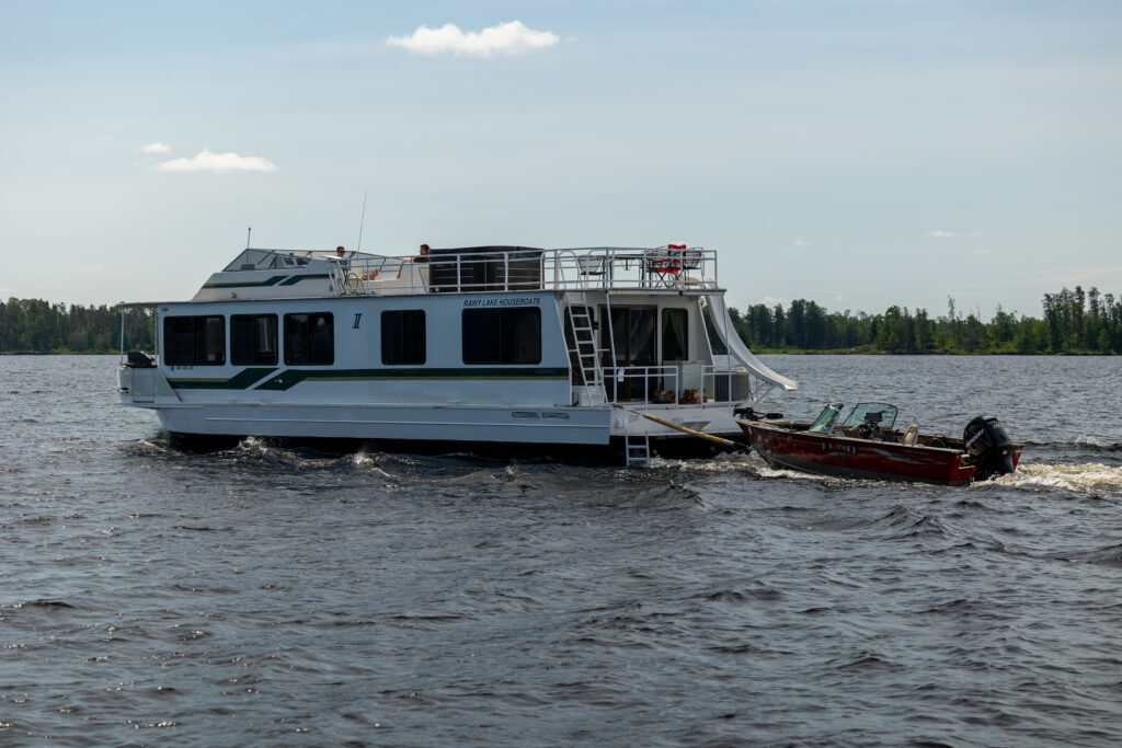
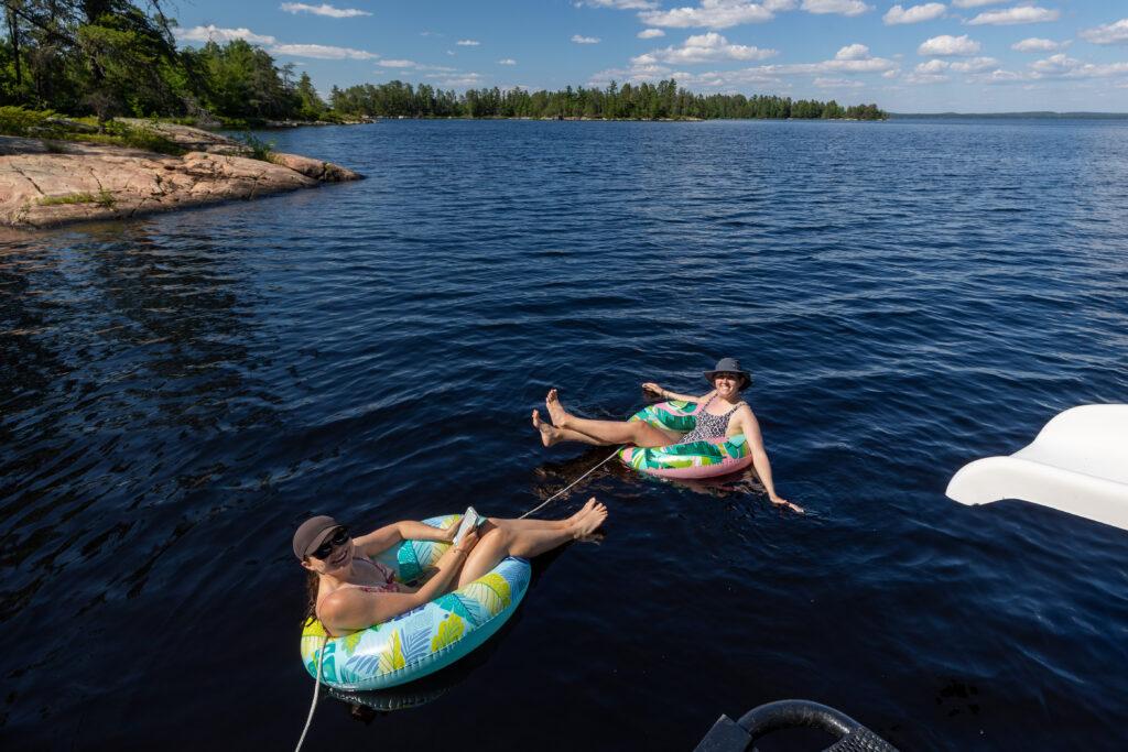
- Houseboats: You can also rent a houseboat from a local outfitter, complete an orientation, and then cruise from site to site for however many days you’ve booked, as we did! You can moor directly to a designated houseboat site, most of which have a fire ring and posts to tie off to, and wake up right on the water.
Our Voyageurs National Park Map
Here’s the map we put together after our first trip here. It shows all four visitor centers, houseboat rental companies, the best hikes, popular sites, lodging recommendations, nearest airports, campgrounds, boat tour companies, and restaurant/food recs.
How to use this map: We have saved the locations from this guide on this map. You can save this map to your Google Maps by pressing the star icon. In your Google Maps, click the menu icon and then Saved Maps, where this map will appear.
Official Voyageurs National Park Maps to Download
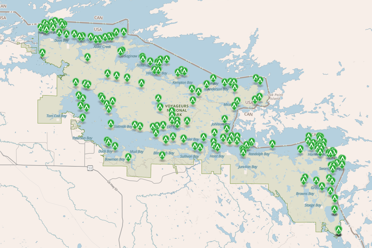
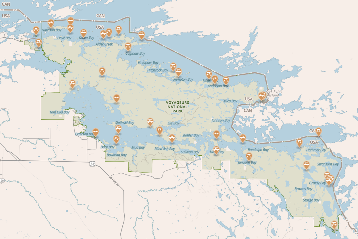
In addition to the general map of Voyageurs National Park we included above, the National Park Service offers several site-specific maps you can download before your trip. The ones the average visitor might be interested in include a campground map and a day-use site map. There’s also a houseboat site map, which we explain over in our Guide to Renting a Houseboat in Voyageurs National Park.
💡 You can pick up a printed park map for free at any of the four visitor centers, and we’d suggest grabbing one even if you’ve downloaded everything. Nat Geo also has its own map that you can purchase at any visitor center.
Campgrounds Map
Day Use Sites Map
Voyageurs National Park FAQ
How many visitor centers does Voyageurs National Park have?
Four: Rainy Lake, Kabetogama Lake, Ash River, and Crane Lake. Crane Lake is the newest, opened in June 2025.
Can you drive through Voyageurs National Park?
No. There’s no road through the park. You drive to one of the four gateway communities and enter by boat from there.
Do you need a boat to visit Voyageurs?
You can visit the visitor centers and walk a few trails without one, but the ranger-led boat tours are the easiest way to actually get on the water without renting anything.
Is there an entrance fee for Voyageurs National Park?
Although there’s no entrance fee, boat tours start at around $50 per adult, and if you plan on renting any materials or camping in the park, these things have a price as well.
Is there cell service in Voyageurs National Park?
Barely. AT&T worked for us in places but T-Mobile and Verizon didn’t work at all. Plan around expecting to have no service.
Are Voyageurs National Park maps free to download?
Yup! The main park map, campsite map, houseboat site map, day use site map, and hiking trail maps are all offered for free by the park. If you want to purchase a more thorough map, Nat Geo sells one at the visitor centers.
When is the best time to visit Voyageurs?
Late August and early September, in our opinion. The bugs ease off, all the visitor centers are open, and the water is still warm.
Read Next:
11 BEST Things to Do at Voyageurs National Park
Watch on YouTube
Related Articles
- 11 BEST Things to Do at Voyageurs National Park
- The Ultimate Guide to Houseboating Voyageurs National Park



Leave a Reply
You must be logged in to post a comment.