
If you’re planning a trip to Saguaro National Park, chances are you’re going hiking at some point. Lucky for you, this park just outside of Tucson, Arizona, offers a plethora of hikes for all ability levels. From easy desert strolls to challenging climbs to Wasson Peak, we’ve rounded up the 11 best hikes in Saguaro National Park, separated by Saguaro East and Saguaro West.
Stay tuned to the end of the article for more useful Saguaro National Park hiking info, like a map with all these hike locations, the best time to visit, what to pack, and more!
Note: We use affiliate links which provide us a little kickback each time you use one of our links and make a purchase, without any additional cost to you. We do not recommend products that we don’t already love or have heard great things about, so you can trust we’re only suggesting great products to you.
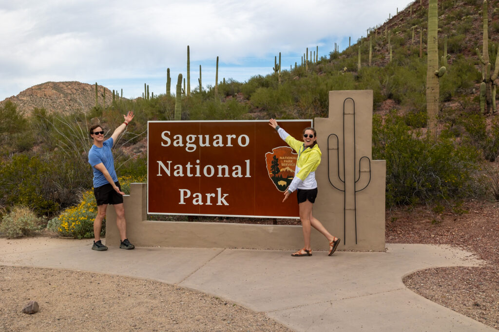
⬅️ 6 Best Hikes in Saguaro National Park West
Below, we’ve rounded up the 6 best hikes in Saguaro National Park West. We’ve included a mix of our favorite hikes along with the most popular ones on AllTrails. If you’re looking for hikes in Saguaro East, hop down to this section!
1. Wasson Peak via Kings Canyon, Hugh Norris, & Gould Mine Trail
Difficulty: Moderate
Distance: 8 miles (12.6 km)
Time: 4-5 hours
Type: Loop
#1 on AllTrails for Saguaro NP, the Wasson Peak via Kings Canyon, Hugh Norris, and Gould Mine trail takes you to the highest point in the Tucson Mountains, Wasson Peak. Start early, take plenty of water and snacks, and wear sun protection as this route typically takes 4-5 hours to complete.

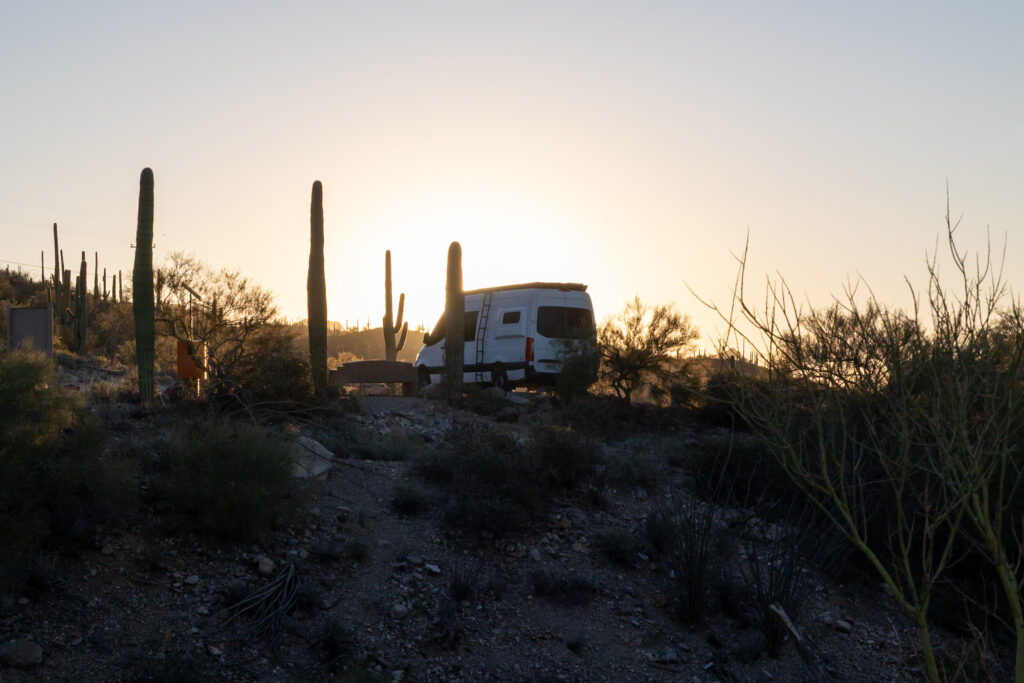
We arrived at the trailhead at 6:30 am for a 7:15 am sunrise and found only two other cars in the parking lot, so parking our van wasn’t an issue. From there, we ended up taking the Gould Mine trail up and the King Canyon trail down (the opposite of what AllTrails recommends) because it’s easier on the knees, according to a park ranger. This route also helped keep us cool since the west side of the mountain is mostly in the shade.
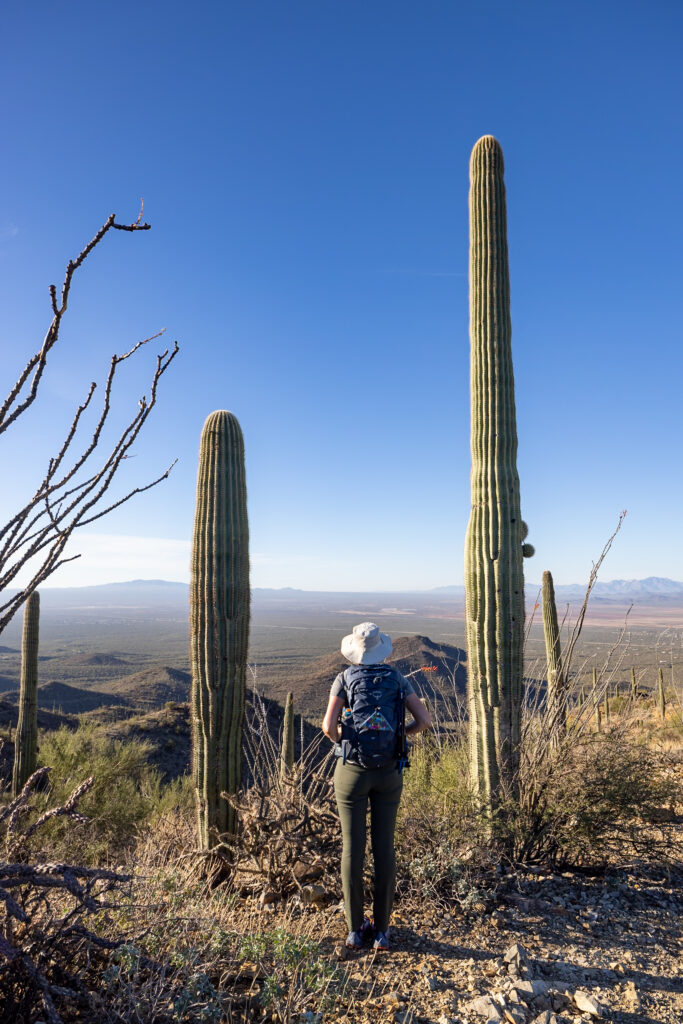
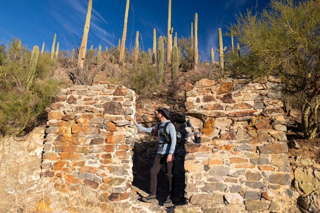
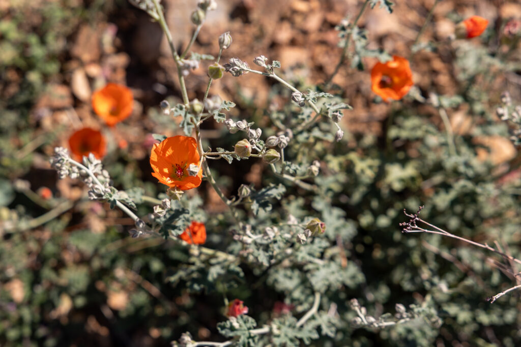
Wasson Peak itself provided incredible, sweeping views of the surrounding Tucson Mountain District (Saguaro West). Although it’s a challenging hike with a good bit of elevation, these views at the top made it all worth it. We think the photos speak for themselves!
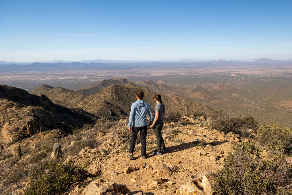
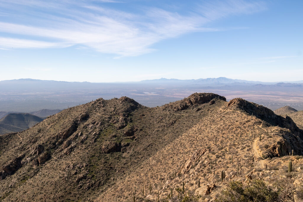
Several other trails can take you up to Wasson Peak, such as the slightly shorter 7-mile (11.3-km) King Canyon Trail to Wasson Peak Trail, but we went with this first one because it was the most popular and closer to the Visitor Center, which we wanted to see afterward.
🌙 Guided New Moon Hike! We learned that there are ranger-guided evening hikes up to Wasson Peak via Sendero Esperanza and Hugh Norris Trails whenever there is a new moon. You’ll hike up when it is still light out, enjoy dinner on Wasson Peak during sunset, and then hike down in the dark.
2. Desert Discovery Trail
Difficulty: Easy
Distance: 0.4 miles (0.6 km)
Time: 30 minutes
Type: Loop
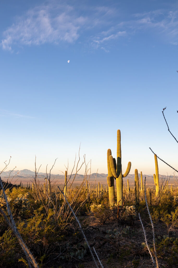
Less than a mile long, paved, and with educational signs to read as you walk through saguaros, Desert Discovery Nature Trail is one of our favorite easy trails in Saguaro. It’s also one of the few dog-friendly trails in the park, which is what first attracted us to it. It is a fantastic place to watch the sunset on the West side.
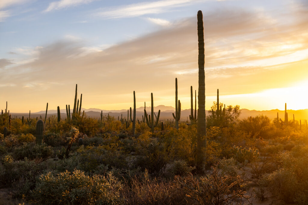
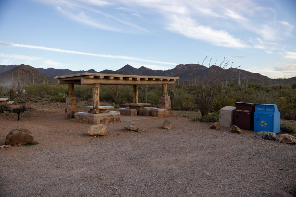
We loved how it had several covered seating areas, which made it easy to take breaks if you’re hiking during the high hours of the day. That being said, the parking lot is quite small, with just 6 spaces plus one handicapped space, so if it’s full, you might have to come back later.
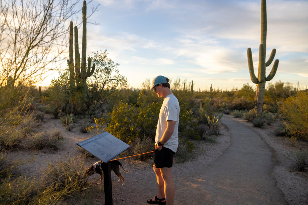
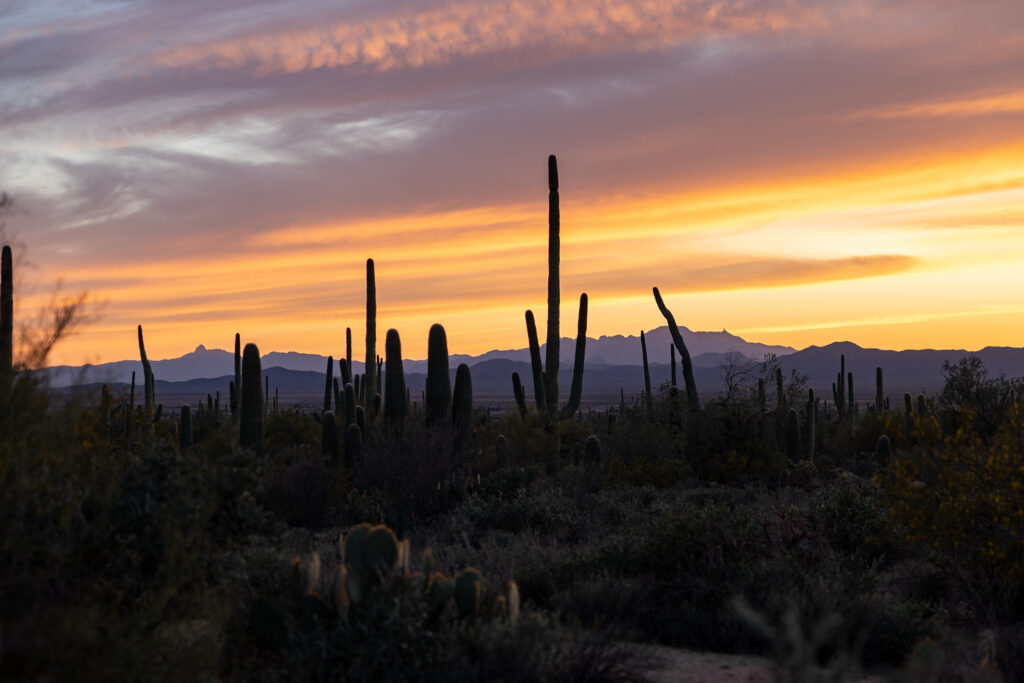
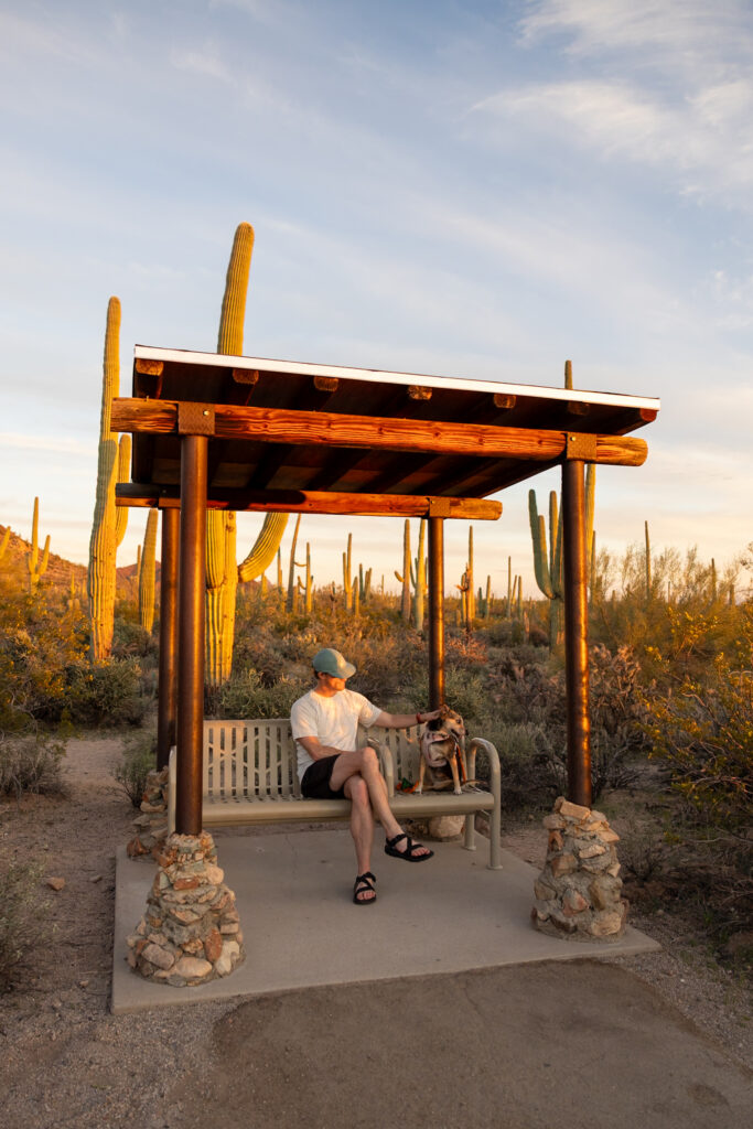
The sunset here blew us away! We were able to see the mountains changing color in one direction and the cacti lighting up in the other as the setting sun lit them. Overall, it’s a great “bang for your buck” trail with lots to see in under 30 minutes, perfect if you’re on a time crunch.
3. King Canyon, Sendero Esperanza, and Gould Mine Loop
Difficulty: Moderate
Distance: 2.5 miles (4 km)
Time: 1-1.5 hours
Type: Loop
King Canyon, Sendero Esperanza, and Gould Mine Loop is a moderate loop that takes just 1-1.5 hours to complete and offers gorgeous views of Saguaro West as well as up-close views of various cacti. It shares the same trailhead as the Wasson Peak via Kings Canyon, Hugh Norris, and Gould Mine trail, but it just doesn’t go up to the peak.
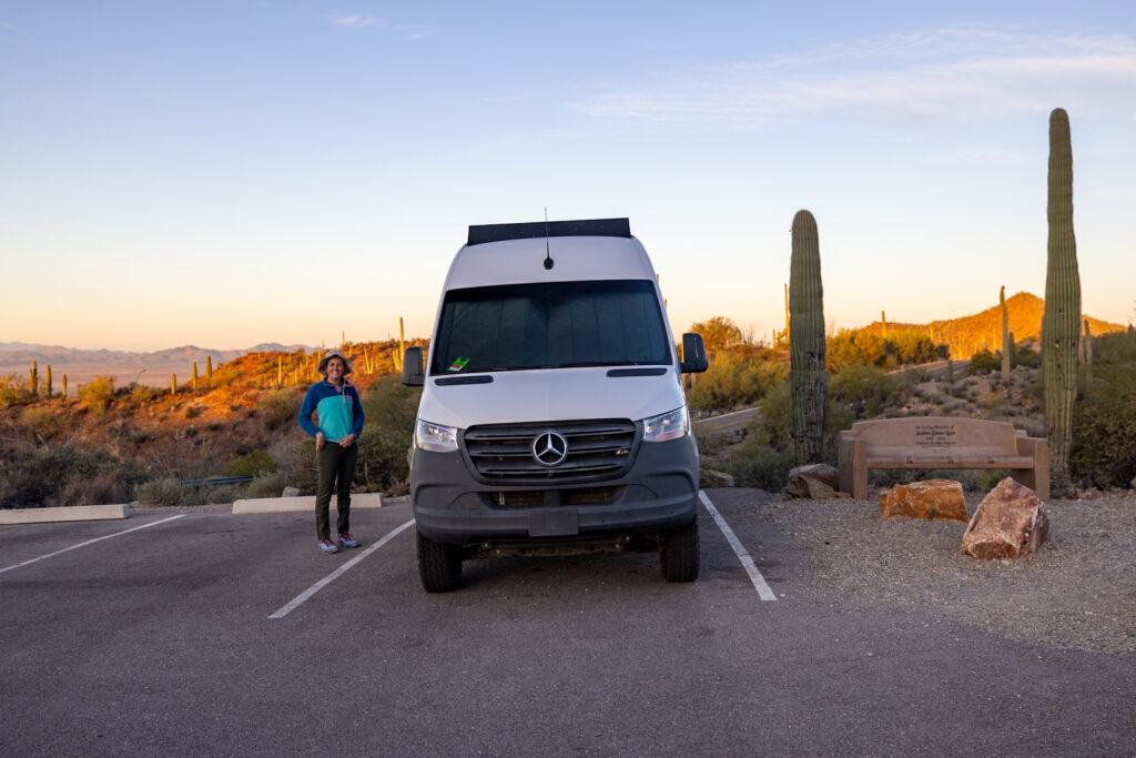
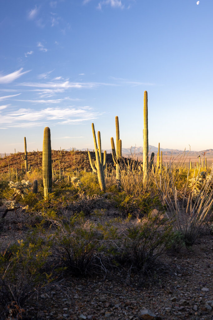
We technically just hiked the first portion of this trail, Kings Canyon, while going up to Wasson Peak. From what we saw, you’re taken through a classic desert landscape with views of Wasson Peak ahead. We read in the AllTrails reviews that there are petroglyphs by the dam on the trail, so keep an eye out for them!
4. Valley View Overlook Trail
Difficulty: Easy
Distance: 0.8 miles (1.3 km)
Time: 30 minutes
Type: Out-and-Back
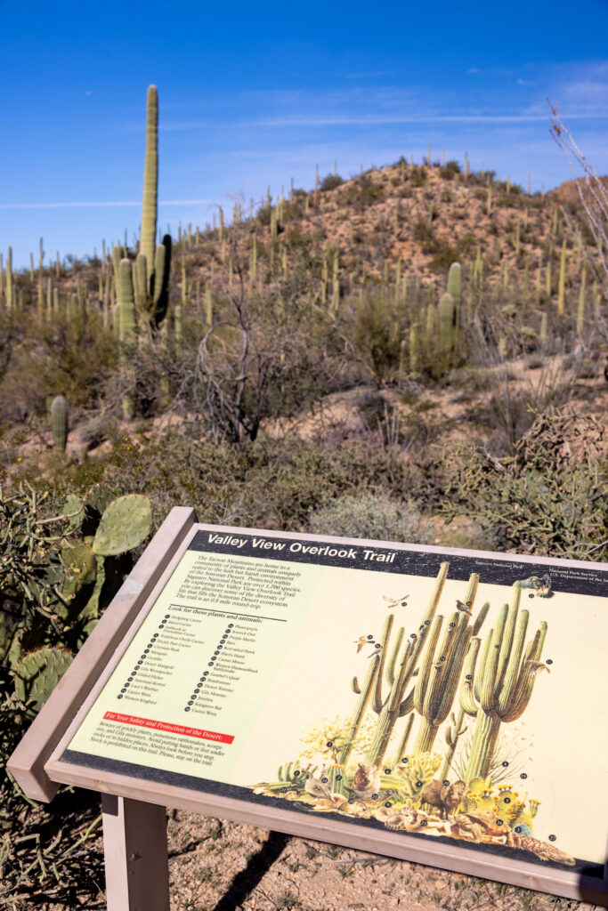
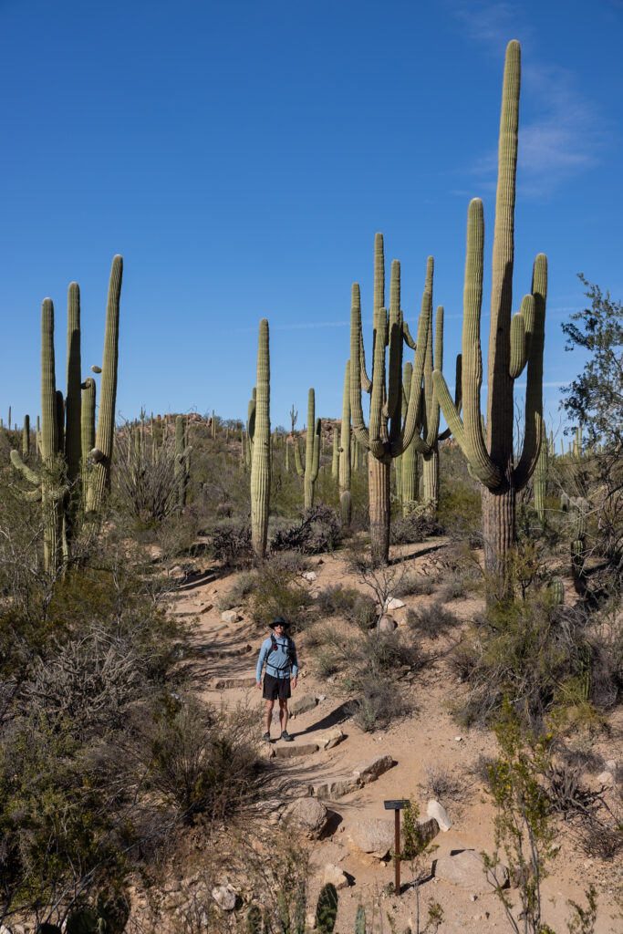
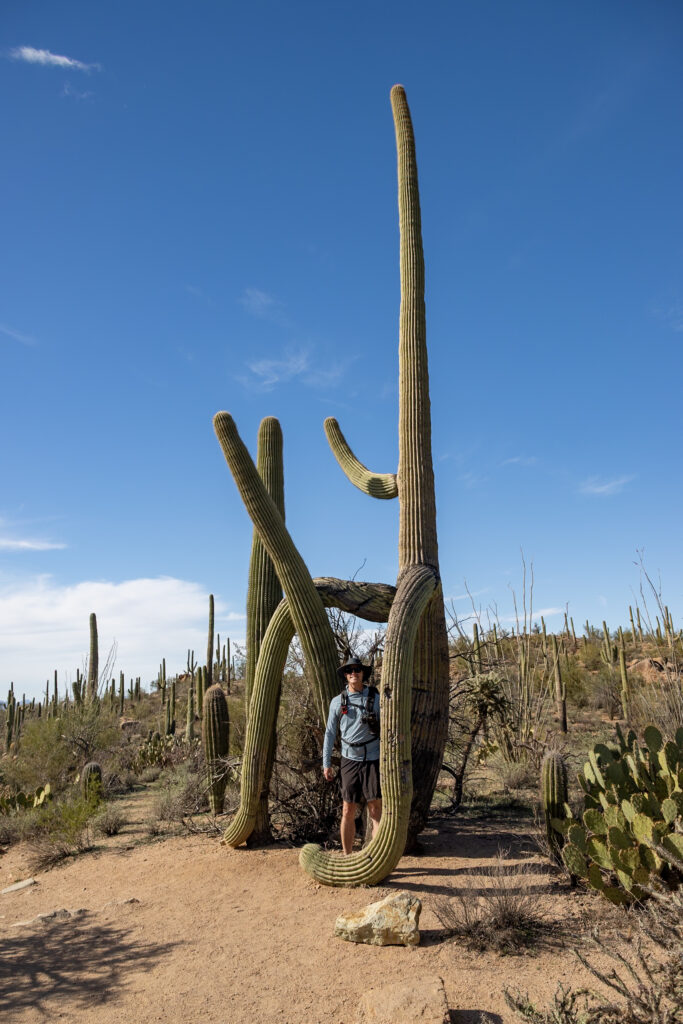
Valley View Overlook Trail is a pleasant short trail that takes you to an overlook where you can see a valley full of Saguaro cacti. There are a few benches at the top that you can sit on as you look out over the valley, so we can imagine it being an amazing sunset-watching spot if you score parking! Even though we only walked a few minutes of this trail, we saw some seriously big cacti, just look at the second photo of Elliot for scale!
5. Signal Hill Trail
Difficulty: Easy
Distance: 0.3 miles (0.5 km)
Time: 30 minutes
Type: Out-and-Back
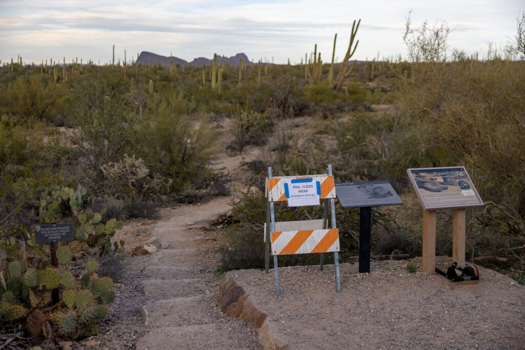
There are a few spots to see 800-year-old petroglyphs in Saguaro National Park, the main one being on Signal Hill Trail. Unfortunately, there were aggressive African honey bees during our visit, which caused the trail to be closed. If the trail is up and running during your visit, we highly recommend a stop here! This is also a great sunset spot if you’re here in the late afternoon.
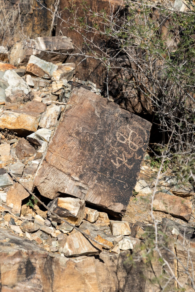
Picture Rocks Wash Loop is another trail where you can see petroglyphs in Saguaro West. Just keep in mind that it’s slightly longer (2.7 miles, 4.3 km), and the petroglyphs are concentrated in just one area. This is probably why Signal Hill is better known as well, as you can see lots of petroglyphs in a short distance.
6. Wild Dog Trail
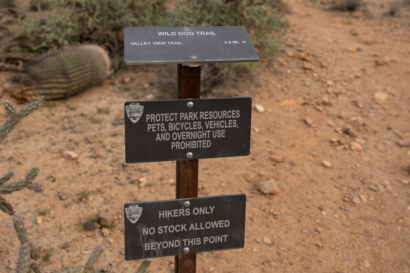
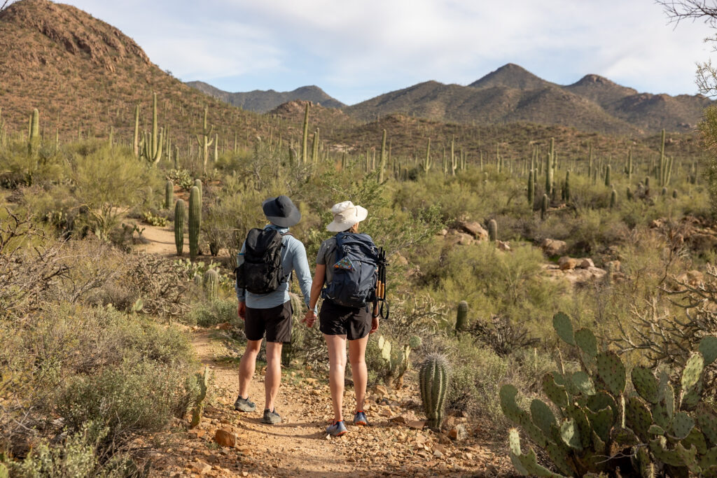
We opted for the Wild Dog Trail over the Bajada Wash Trail or the Valley View Overlook Trail, but they are all located in the same general area. This hike is just 1.9 miles (3.1 km) and takes about an hour to hike. Although there wasn’t a lot of elevation gain, it did require some climbing around rocks, so we recommend having proper shoes. The trail has some small ups and downs, but it is generally pretty flat, and Saguaro cacti surround you throughout the hike!
➡️ 5 Best Hikes in Saguaro National Park East
Below, we’ve rounded up the top 5 trails in Saguaro National Park East. We’ve included a mix of the most popular trails, along with some of our personal favorites. The last one is a hidden gem in our opinion!
1. Bridal Wreath Falls Trail
Difficulty: Moderate
Distance: 6 miles (9.7 km)
Time: 3-3.5 hours
Type: Out-and-Back
Bridal Wreath Falls Trail is #2 on AllTrails, making it the #1 hike in Saguaro East. This moderate hike takes you through the desert all the way to the oasis of Bridal Wreath Falls. To ensure that there’s water once you’re at the falls, we recommend hiking it after some rain. Oftentimes, recent reviews on AllTrails will include whether or not the falls have water.
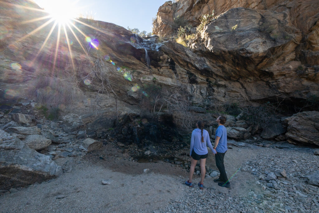
There is a designated parking lot that can park about 20 cars, but there is space for more cars to overflow from the parking lot along the street. We arrived at the parking lot by 6:30 am, and there were 4 other cars already in the parking lot. By the time sunrise started, the parking lot was full, so try to get there before sunrise if you can!
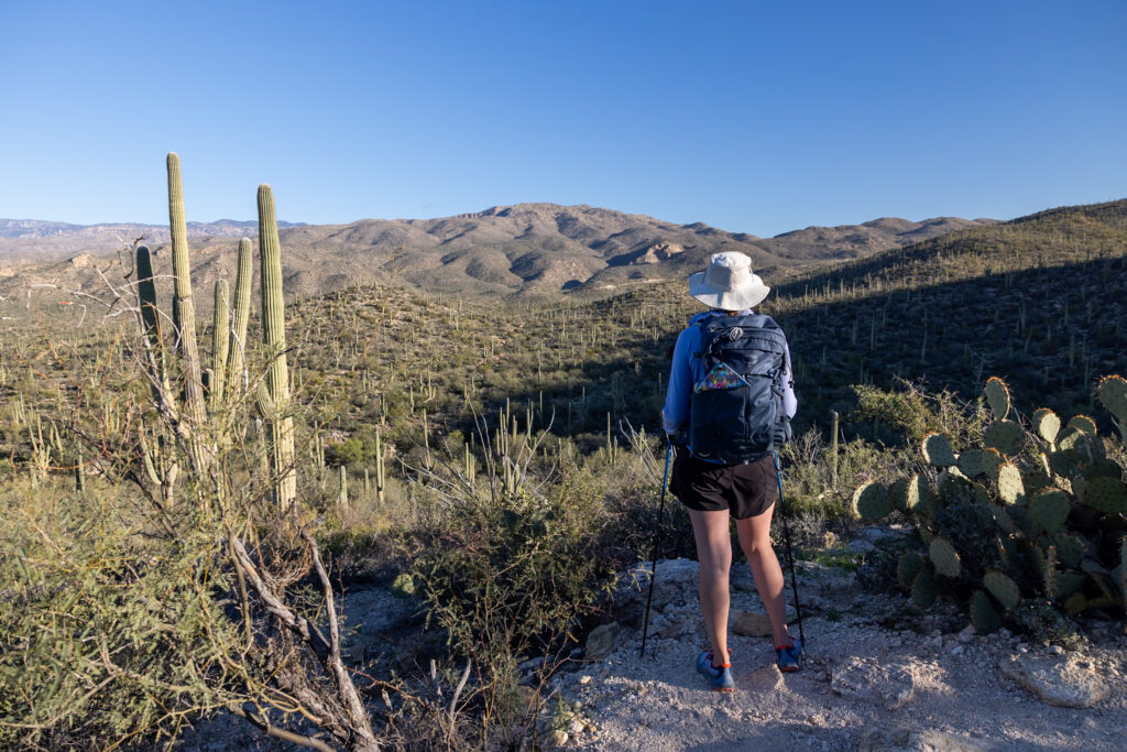
This entire area is one large network of trails, so, based on a tip from one of the NPS volunteers in the Visitor Center, we made our own trail to see multiple attractions. Besides Bridal Falls itself, we got to see the Old Steel Tank (used to collect water for horses), Wildhorse Tank (another waterfall), and Garwood Dam.
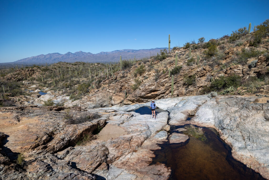
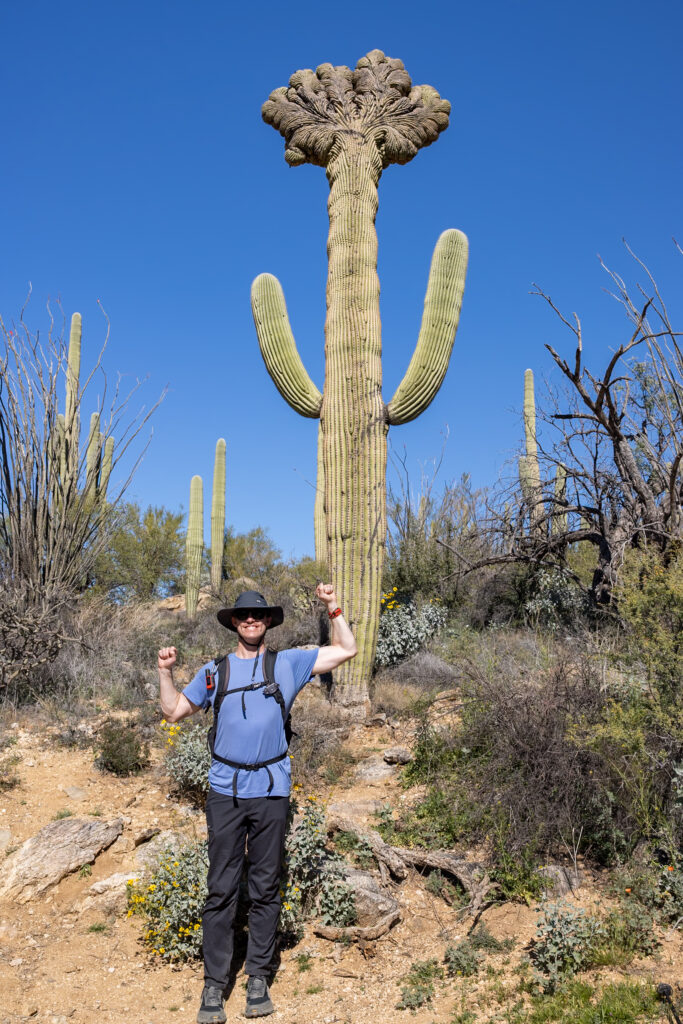
Finally, we took the Garwood Trail back to the trailhead and saw a really neat Crested Cactus, which forms from a genetic mutation. By the end of our adventure, this turned into a 9-mile hike. This extended version we did is called the Douglas Spring, Bridal Wreath Falls, Three Tank, and Garwood Loop. The map we’ve included below is the original, Bridal Wreath Falls Trail.
2. Mica View & Cactus Forest Loop
Difficulty: Easy
Distance: 2 miles (3.2 km)
Time: 30 minutes
Type: Loop
Mica View and Cactus Forest Loop is a quick and easy loop trail with views of saguaros that takes just 30 minutes to hike. We ended up going on the nearby quick Desert Ecology Trail instead, as it was dog-friendly, but we wanted to include this one as it’s a super popular loop in Saguaro East. Here, you will find great views of mountains and cacti, which bloom once spring rolls around.
3. Tanque Verde Ridge Trail to Tanque Verde Dome
Difficulty: Moderate
Distance: 5.2 miles (8.4 km)
Time: 3.5 hours
Type: Out-and-Back
Tanque Verde Ridge Trail to Tanque Verde Dome is a moderate out-and-back trail that takes about 3.5 hours to hike. We first tackled this trail during sunrise, arriving at 6:45 am for a 7:15 am sunrise, and there were plenty of spaces to park at that time. There were also bathrooms and picnic areas near the lot, which is a great place to rest once you’re back.
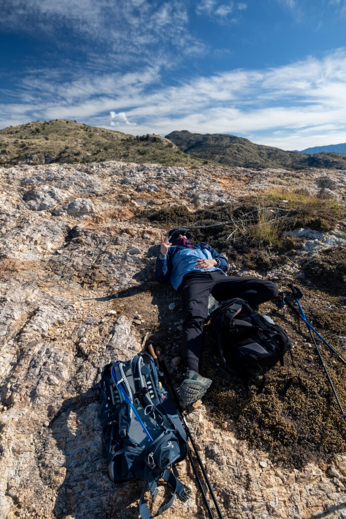
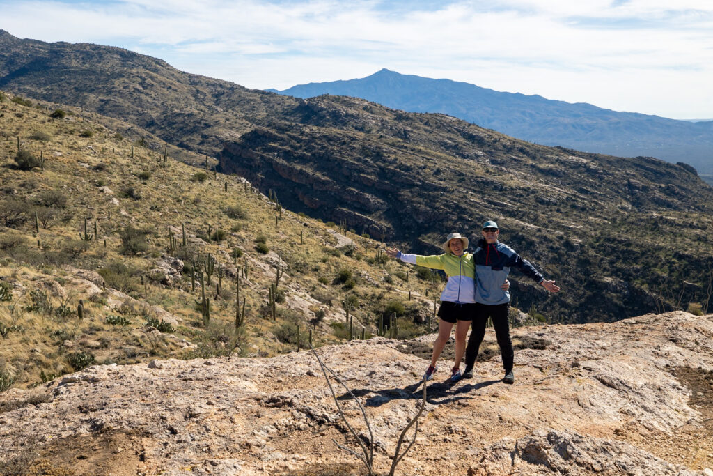
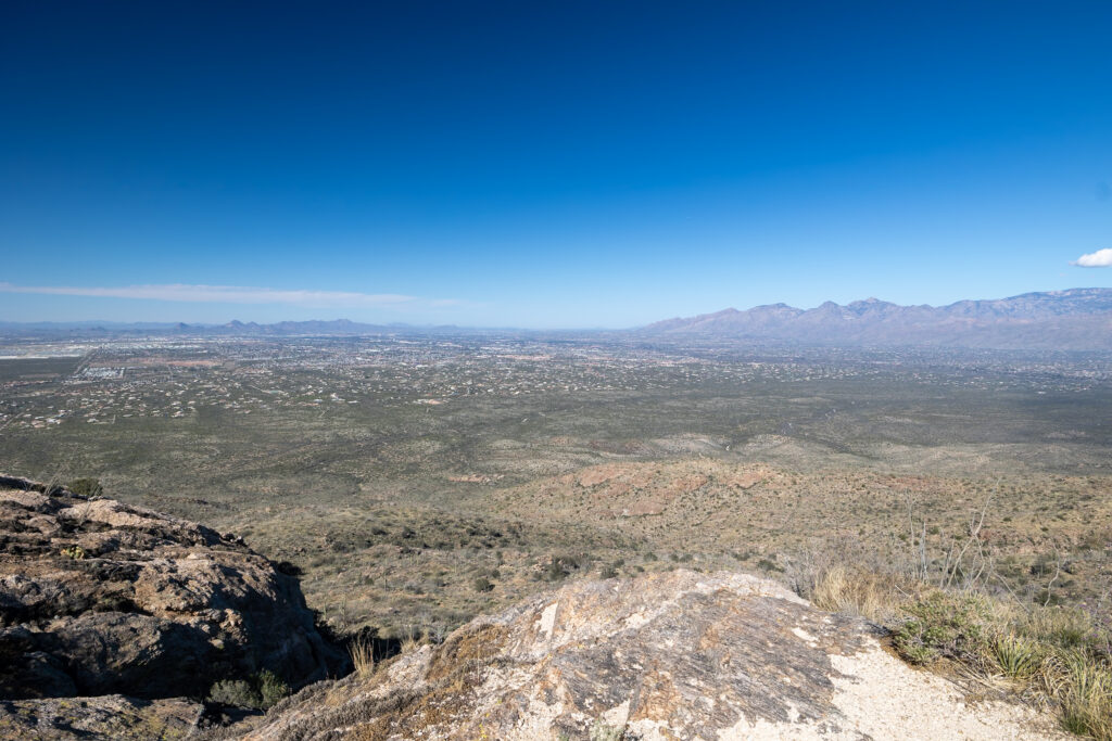
The hike itself was great, with sweeping views of the surrounding area the entire way. As you go up the trail, which follows a ridge, you can see more and more of the eastern side of Saguaro National Park.
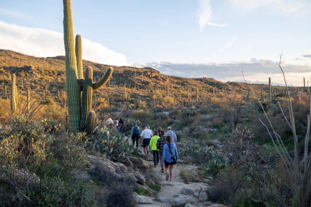
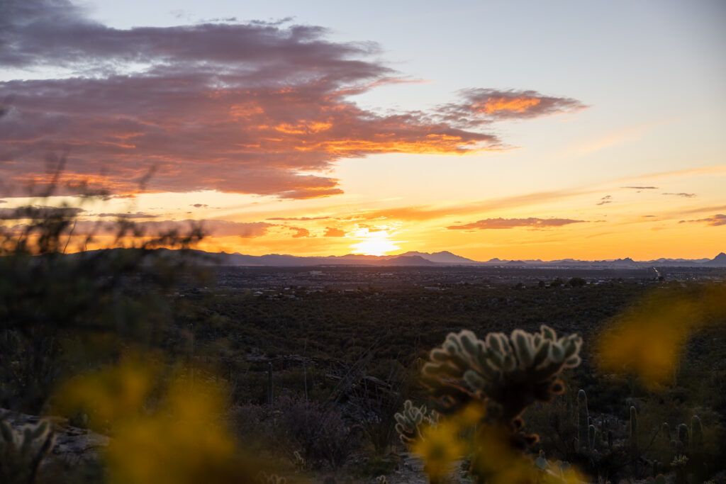
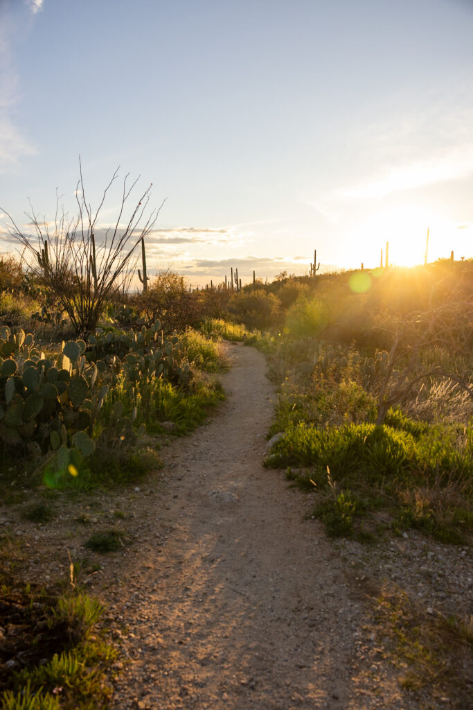
We also went on a guided sunset walk of the 0.5-mile Tanque Verde Ridge Trail a few days later, and it was a highlight of our trip. Ranger Dalton did an excellent job at answering questions about the desert, saguaro cacti, and ecology as we hiked to a viewpoint that overlooked Saguaro West just as the sun was setting. Check the National Parks Service Events Calendar to see what’s going on during your visit!
4. Desert Ecology Trail
Difficulty: Easy
Distance: 0.3 miles (0.5 km)
Time: 30 minutes
Type: Loop
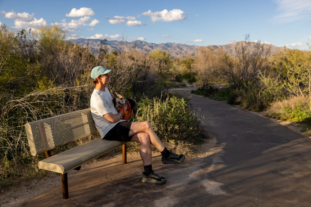
The Desert Ecology Trail was a quick trail we went on in Saguaro East, mainly because it was one of the few dog-friendly ones in the area. Taking less than 30 minutes to walk, there are informative signs all along the trail about the desert ecology, which we enjoyed reading. Even if you don’t have a dog, we can recommend this trail if you want to stick to short, flat trails or are limited on time.

5. Wildhorse Trail
Difficulty: Moderate
Distance: 3.3 miles (5.3 km)
Time: 1-1.5 hours
Type: Out-and-Back
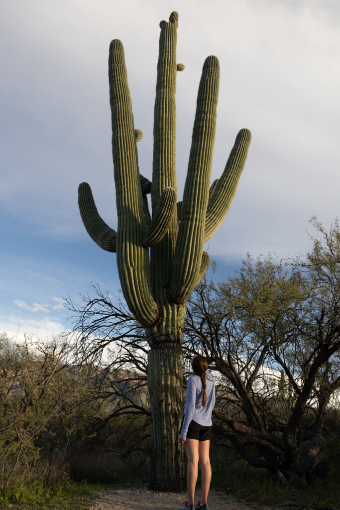
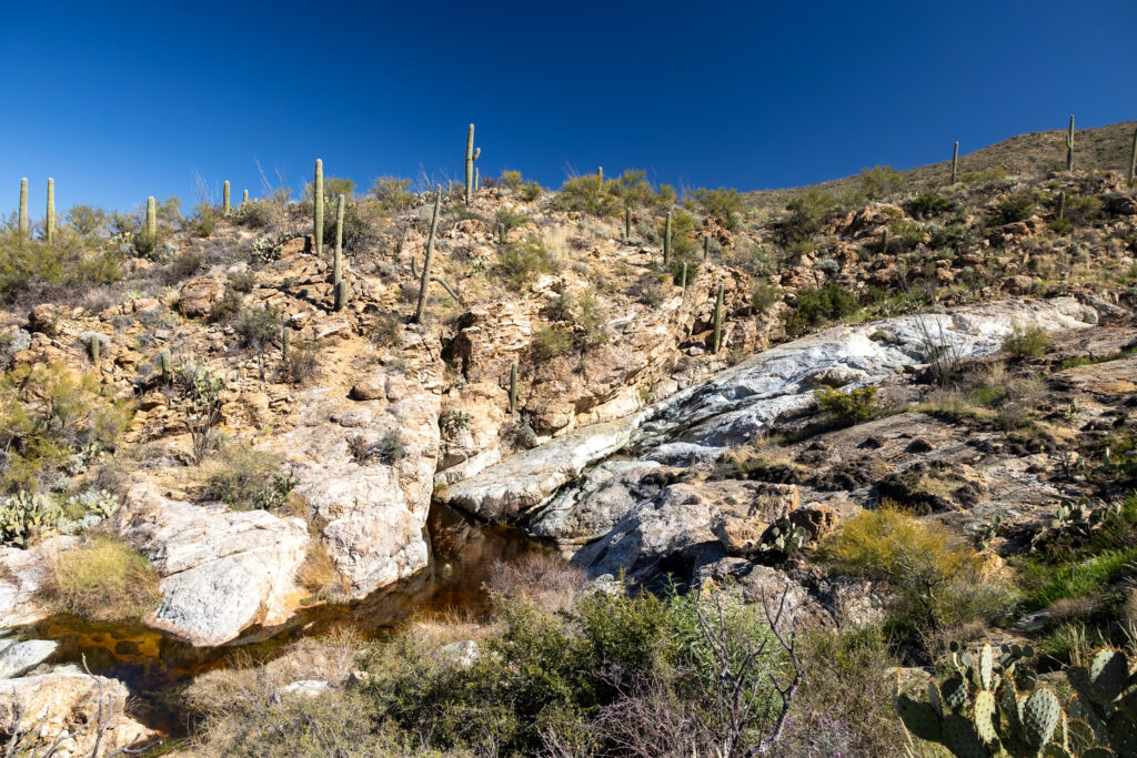
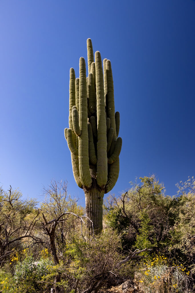
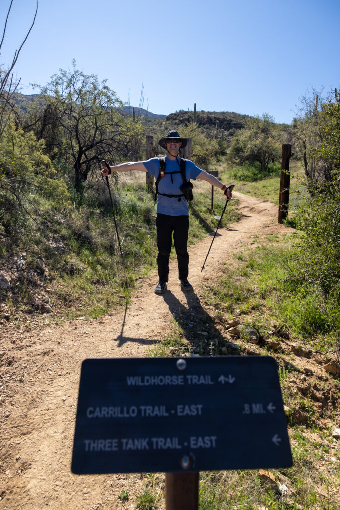
Wildhorse Trail is definitely one of the lesser-known trails in the park, but we really enjoyed our time on it! Not only did it take us past one of the largest cacti we saw in the park up close, but we also got close to a small pool of water in a rocky section. In a place as arid as the Sonoran Desert, that always feels extra special.
🥾 About Saguaro National Park
Saguaro National Park in the Sonoran Desert is home to the infamous saguaro cactus, the largest cactus species in the United States! These giants can grow up to 50 feet tall and live for 250 years or more. As one of Arizona’s most iconic symbols, this park is one of the gems of the American Southwest.
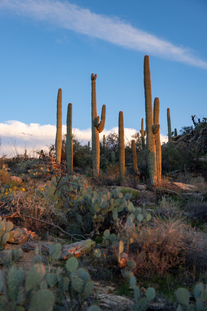
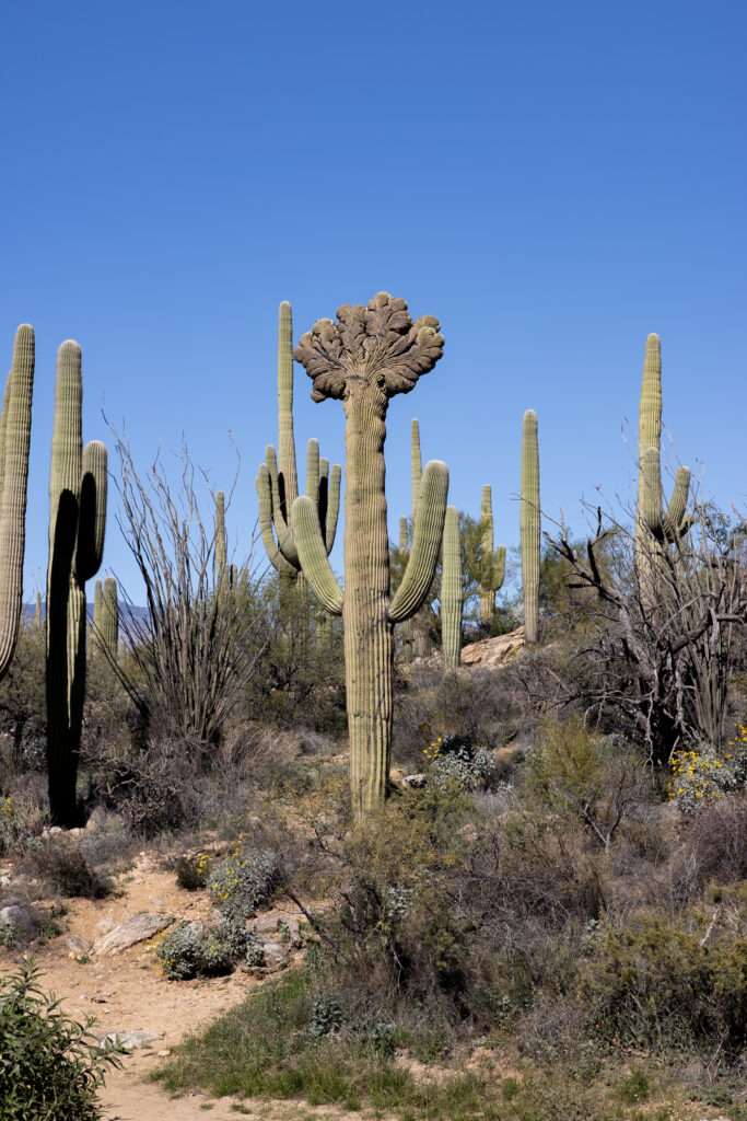
Saguaro is divided into two distinct districts: the Rincon Mountain District in the east and the Tucson Mountain District in the west. Located on either side of the city of Tucson, these two sides of the park are about a 30 to 40-minute drive from one another. Each side also has its own visitor center, with Rincon Mountain Visitor Center in the East and Red Hills Visitor Center in the West.
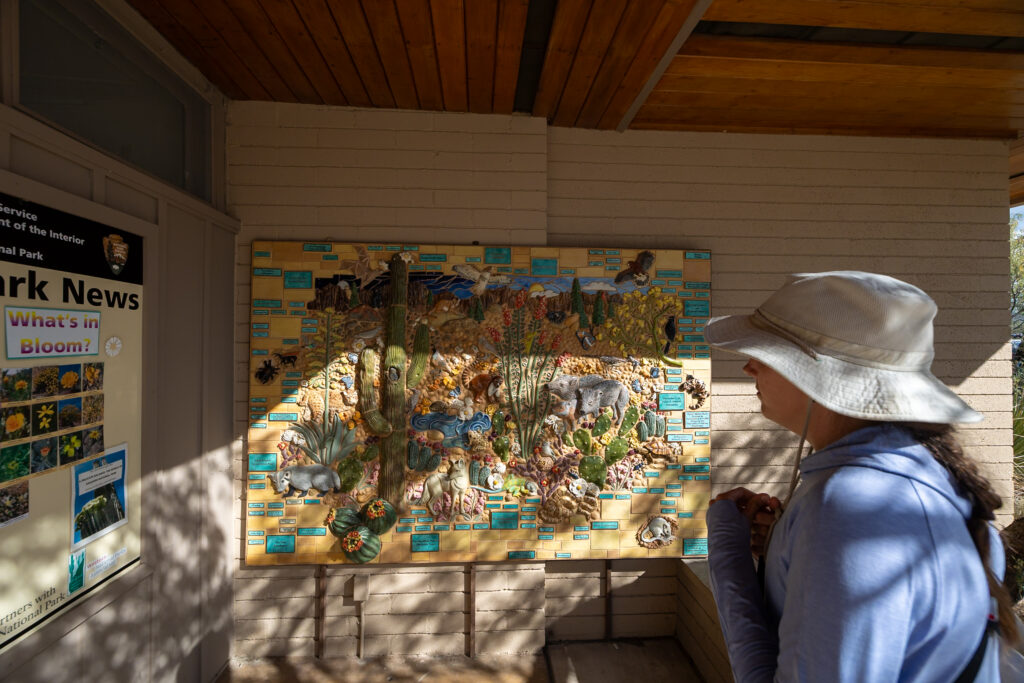
Saguaro West is the smaller section of the park. It’s known for having cacti that grow closer together, which makes for great photo opportunities. This is also the more popular side of the park. In comparison, Saguaro East is much larger and more spread out. There are lots of backcountry camping opportunities here, and you have a better chance of being alone in the wilderness.
🗺️ Map of Hikes in Saguaro National Park
We’ve pointed out the dog-friendly trails where you are allowed to walk your leashed dog with the yellow dog icon. Other than these trails, dogs are also allowed on basically any road in the park, such as the two main scenic loops or Golden Gate Road. More on where animals are allowed on the Pets NPS page.
How to use this map: We have saved the locations from this guide on this map. You can save this map to your Google Maps by pressing the star icon. In your Google Maps, click the menu icon and then Saved Maps, where this map will appear.
☀️ Best Time of Year to Visit Saguaro National Park
Winter is actually the peak season in Saguaro, running from December to February. This is when daytime temps are at their lowest, ranging from 60-75°F. That being said, the park experiences lots of visitors during this time, so although the weather is nice, keep in mind that there tend to be more crowds. Since there isn’t much shade on the trails, it makes for the best hiking weather, in our opinion.
March-April and October-November are also great months to visit. During these months, the park experiences pleasant daytime temperatures, ranging from the mid-60s to mid-80s°F, and fewer crowds. March and November will be a safer bet, though, as April and October can still be hot, depending on the year. The spring brings beautiful spring blooms of the wildflowers and cactus blooms, creating a spectacular sight.
The summer season in Saguaro runs from June to September, and is not recommended for most visitors. Daytime temperatures can soar to 115°F, so while early morning hikes might be doable, the daytime heat poses a serious risk. July to September is also the monsoon season in the park, adding another layer of difficulty to travel during this time. The monsoon season would be incredible to witness, but it wouldn’t be the ideal time to explore the trails.
We visited in February 2026 and had excellent weather. Cool morning temperatures for long hikes and warm afternoons that were perfect for shorter hikes, scenic drives, and admiring the viewpoints.

🗓️ How Many Days in Saguaro?
We personally spent 3 full days exploring Saguaro National Park, but 2 days is also doable to see all the must-sees. One day allows you to see some of the highlights, but you probably won’t be able to see everything. If you can swing a second day, we highly recommend it to see both sides of the park at a leisurely pace. Have time to squeeze in a third day? Even better!
💡 Plan your Saguaro trip using our flexible 1 to 3-day itinerary: Saguaro National Park Itinerary: 1, 2, or 3 Days!
🌵 Packing Essentials for Saguaro National Park
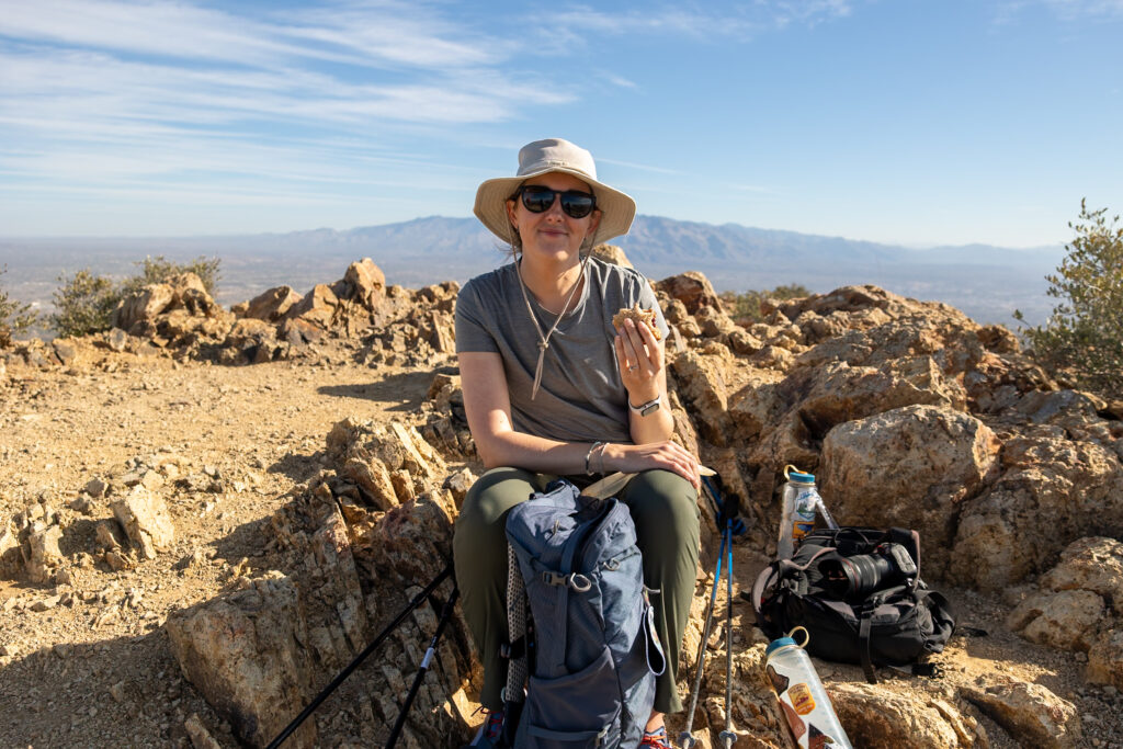
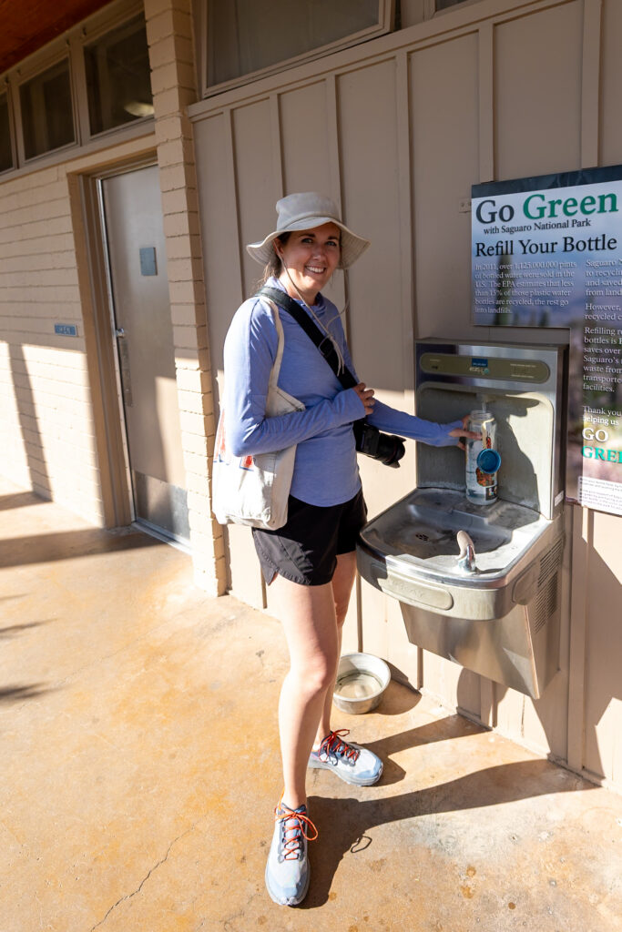
Located smack in the middle of the Sonoran Desert, Saguaro National Park is very sunny. There is little to no shade in most of this park, so sun protection is the most important thing to keep in mind when packing. Below, we’ve listed what we recommend you pack.
Hiking Essentials

Read next: Hiking Gear for Beginners!
Sun Protection
Safety Essentials
📰 Related Articles
- 11 Best Things to Do in Saguaro National Park (Free & Paid)
- BEST Campgrounds Near Saguaro National Park (Free & Paid)
- Saguaro National Park East vs West: Which Side Should You Visit?
- Saguaro National Park Itinerary: 1, 2, or 3 Days!
Pin this guide!
Pin this guide to the best hikes in Saguaro National Park to make your upcoming trip a breeze to plan!







Leave a Reply
You must be logged in to post a comment.