Your cart is currently empty!
Boating Guide to the Big Bend in Florida
This is a guide to Boating the Big Bend in Florida, also known as Florida’s Gulf Crossing Rim Route. Boating in some of Florida’s most beautiful Gulf waters, with landscapes that take you back to Old Florida and unique things to do that leave you with lasting memories. The Big Bend in Florida is a great way to explore parts of Florida that many skip.
Note: We use affiliate links which provide us a little kickback each time you use one of our links and make a purchase, without any additional cost to you. We do not recommend products that we don’t already love or have heard great things about, so you can trust we’re only suggesting great products to you.
⚠️ Unfortunately, this information does not reflect accurate, up to date conditions after Hurricane Helene made landfall in September 2024. ⚠️
What is Florida’s Big Bend?
Florida’s Big Bend, also known as the Rim Route, is a boating journey that joins the Gulf Intracoastal Waterway (GICW) to Florida’s West Coast ICW. This open water section in the Gulf of Mexico connects the two ICW segments in the Atlantic and Gulf. Boating Florida’s Big Bend breaks up the open water section into sections that can be done in one day for slow boats like trawlers or sailboats. The Big Bend in Florida can also be a trip in and of itself for boaters wanting to explore Florida’s forgotten coast. This is a part of America’s Great Loop.
Considering if the Big Bend route is right for you? We compared the pros and cons of the Gulf Crossing vs the Big Bend routes.
Florida Big Bend Route
Florida’s Big Bend starts or ends from the last section of protected IWC waterways; this is typically Carrabelle or Dog Island from the Florida Panhandle or Tarpon Springs or Anclote Island from the West Coast of Florida. The route can be broken down into sections, including St. Mark’s, Steinhatchee, Suwannee River, Cedar Key, and Crystal River. When we did the Big Bend, we left Dog Island and stopped in Steinhatchee, Cedar Key, and Crystal River before completing our Big Bend in Anclote Key. The stops you make are typically dictated by your weather window.
Boat Navigation for Florida’s Big Bend
There are a few navigation and potential hazards to consider while doing this trip by boat, including tides and shallow depths, boat traffic, and crab pot buoys.
The first is the tides and shallow depths. The Gulf of Mexico has a 0.5-1.5 foot tidal change in this area. Parts of the Big Bend can be shallow, so boats with a 4.5’ or greater draft are not recommended to do this trip; however, it’s best to do your own due diligence. We recommend timing your tides, if possible, to arrive in the shallow parts during high tide or on the rising tide. Some of the shallow areas are reefs with oyster beds – making running aground a costly mistake compared to running aground on sand.

Check out our blog post on the Marine Weather Apps for boaters!
The Big Bend has no major ports, which means there’s no major barge or ship traffic. The main boat traffic in this area is small, local fishing boats.
Crab pot buoys are scattered throughout the shorelines of the Gulf of Mexico by local fishermen and can be a navigational hazard. They can be difficult to see and can pose a problem if you run over one, and it subsequently gets caught in your propeller. It’s important to be attentive at the helm to avoid crab pots.
Boaters Resources for Florida’s Big Bend
There are a few boater resources, including grocery stores, hardware stores, marine supplies, and wifi with walking or biking distances in some of the towns on Florida’s Big Bend. Your best bet for provisioning on the Big Bend is to prepare ahead of time in Tarpon Springs or Panama City Beach. These towns have the most variety in terms of stores and budgets. Here’s a list (with Google Map links) of what’s available along Florida’s Big Bend route:
Apalachicola
- Grocery: Piggly Wiggly is 0.6 miles or a 14-minute walk from the Apalachicola docks.
- Wifi: there’s a Local Library just past the grocery store.
- Hardware/marine store: ACE Hardware is located outside of Downtown, making it more accessible by bike than by walking as it’s 1.8 miles from the Apalachicola docks.
Carrabelle
- Grocery: Gulfside IGA Plus is the one grocery store in town conveniently located near both marinas.
- Wifi: Carrabelle’s Public Library
- Hardware/marine store: Jackson Auto Parks & Hardware and Gander’s Hardware, Bait, and Tackle
Steinhatchee
- Grocery: Maddie’s Market is one mile from Steinhatchee Marina at Deadman Bay or 0.6 miles from Sea Hag Marina.
- Wifi: There’s no public library in Steinhatchee, so your best bet for wifi would be at the marinas.
- Hardware/marine store: An ACE Hardware store is 1.4 miles from Steinhatchee Marina at Deadman Bay or 1.1 miles from Sea Hag Marina.
Cedar Key
- Grocery: Market at Cedar Key, but no large major grocery store in Cedar Key.
- Wifi: There’s no public library in Cedar Key.
- Hardware/marine store: Marina Hardware is conveniently located in town.
Crystal River
- Grocery: Tony’s Produce Market offers fresh local produce and is walkable from the dinghy dock or marina. Save a Lot is 0.8 miles from Pete’s Pier Marina or Kings Bay Park (for boats anchoring and going to shore by dinghy). Windixie is 1.5 miles from Pete’s Pier Marina or 1.6 miles from the Kings Bay Park dinghy dock.
- Wifi: Coastal Region Library is 2 miles away from Pete’s Pier Marina, making it outside a comfortable walking distance but doable by bike.
- Hardware/marine store: Carter’s ACE Hardware or Harbor Freight is about 0.9-1.5 miles from Pete’s Pier Marina or Kings Bay Park.
- Laundry Mat: Spin Cycle Laundry Mat is located in town.
Tarpon Springs
- Grocery: There are two small convenience stores within walking distance to the marina in Tarpon Springs – Katina’s Mini Market or Agora Food Market, Inc. Otherwise there’s Winn-Dixie, Walmart Supercenter, and Publix are all in Tarpon Springs and are accessible by bike, Uber, Lyft, or the Tarpon Springs Bus System – PSTA.
- Wifi: Tarpon Springs Library
- Hardware/marine store: Vision ACE Hardware, Advanced Auto Parts, Auto Zone Parts, or Lowe’s Home Improvement
Map of Big Bend Florida
Throughout this guide, we mention several restaurants, marinas, and places of interest. We have saved all the locations for Florida’s Big Bend on this map. You can save this map to your Google Maps by pressing the star icon. Once you’re in your Google Maps, click the menu icon, saved, maps, and Big Bend Florida will appear.
Florida Big Bend Boating Itinerary
This itinerary is based on a “slow boat” speed, usually a trawler or sailboat motoring at 6 knots. The navigation maps are based on the setting for our boat, PIVOT. We set our Navionics to be slightly slower than our actual cruising speed, which is why some of the route predictions take longer than what is mentioned above. If your boat’s cruising speed is slightly faster, then you can expect shorter travel times, and vice versa with a slower boat. Although this itinerary is organized by days, it can easily be adjusted to your weather window, boat speed, and interests.
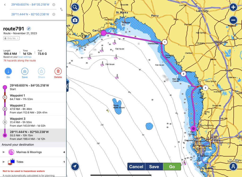
There are three starting points for boating the Big Bend in Florida: Apalachicola, Carrabelle, or Dog Island. Apalachicola is the furthest west of all three locations, and Carrabelle is the furthest east location with a marina. Boaters who prefer anchoring might choose Dog Island. There are two main ending points for the Big Bend in Florida: Anclote Key or Tarpon Springs. Anlcote Key is the first barrier island to the Gulf of Mexico and is a common place for boaters who enjoy anchoring to stop for the night. Tarpon Springs is the last town in the protected waterways of the Florida West Coast ICW with a marina.
Day 1: Starting Florida’s Big Bend in Apalachicola
One of the three possible starting points for boating the Big Bend in Florida is Apalachicola. This is the westernmost starting point. You can stay at the Apalachicola Marina, which can be reserved with Dockwa, or your second option is Scipio Creek Marina. If heading into Scipio Creek, then don’t cut the corner, as the island comes out as a shoal.
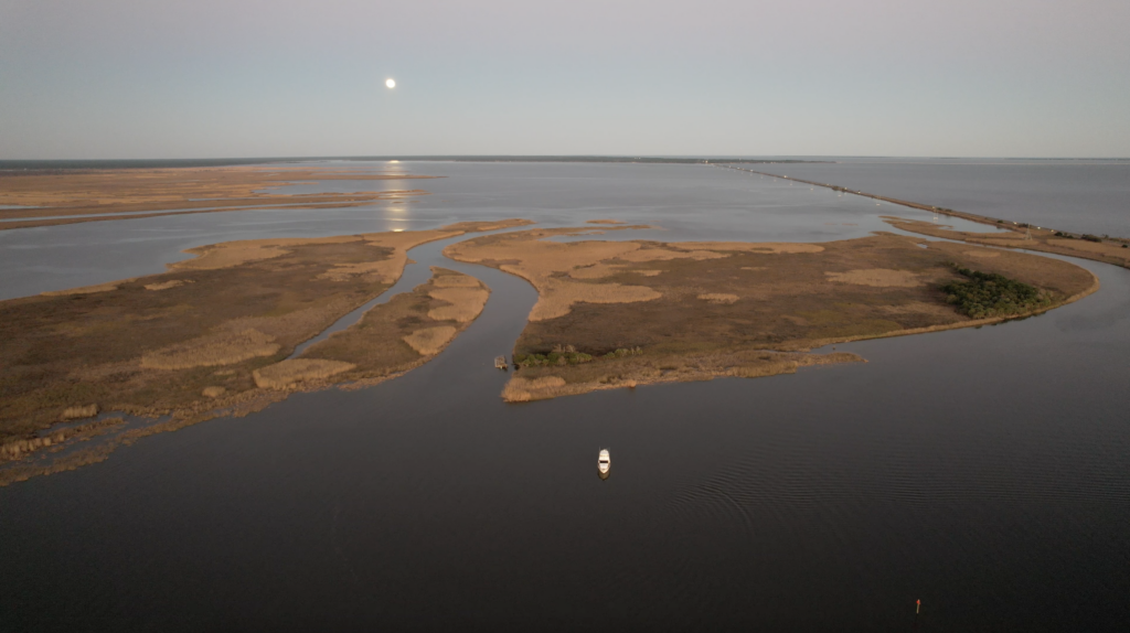
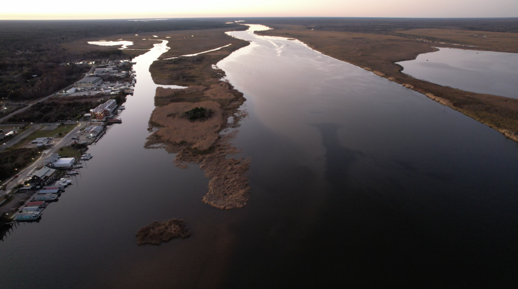
For boaters who prefer to anchor, Apalachicola anchorage is beautifully located near the salt marshes; however, there’s no public boat ramp near by so you’ll need to ask permission to go to shore at any of the marinas. The anchorage is located adjacent to the channel, so boaters are bound to get some wake from local fishing vessels passing by. For one night, it would do, but we wouldn’t want to anchor there longer.
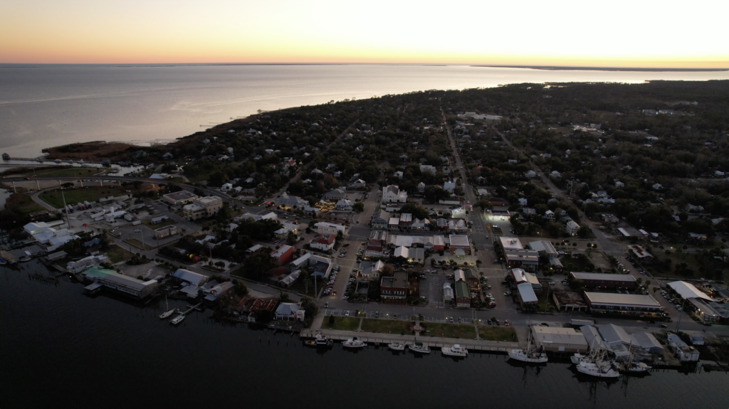
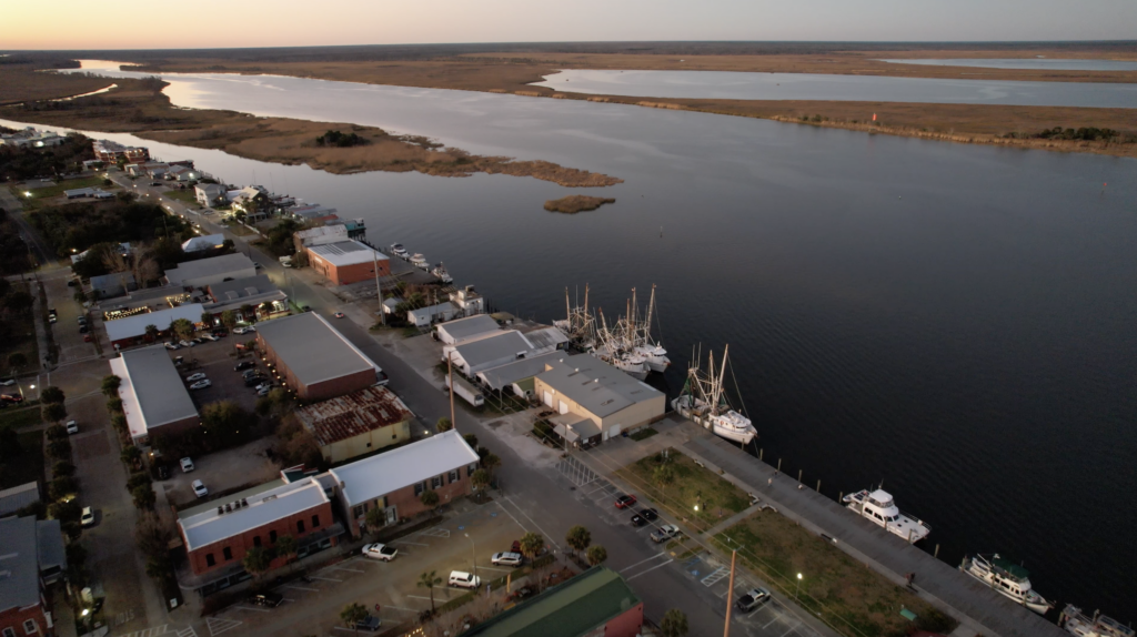
Where to eat in Apalachicola
The Gulf Coast of Florida has some of the best seafood, and this region is known for shellfish. Apalachicola has some great oysters!
Food
- Baked Apalach – we enjoyed breakfast sandwiches here!
- Half Shell Dockside
- The Station Raw Bar
- Owl Cafe
- Tamara’s Cafe
- The Franklin Cafe
- Hole in the Wall Seafood
- Cafe con Leche
Bars
- Oyster City Brewing Company – we enjoyed beers here with our buddy boat!
- The Tap Room
Sweets
- Apalachicola Chocolate Company
- Old Time Soda Fountain – ice cream, malts, sodas, and floats
Other
- Water Street Seafood Inc. – A seafood wholesaler for anyone who wants to cook fresh fish on their boat.
Festivals in Apalachicola
Every year Apalachicola hosts the Florida Seafood Festival in Battery Park during the first weekend of November. Admission is $5, which gets you into the festival grounds. There are various activities, including delicious seafood, arts and crafts exhibits, seafood-related events, and Musical Entertainment. Some of the events special to this festival include an Oyster Eating and Oyster Shucking contest, Blue Crab Races, a Parade, a 5k Redfish Run, The Blessing of the Fleet, a History of the Festival Exhibit, and Tonging For Treasure. If you’re traveling through Apalachicola during this time, this is a can’t miss event!
Day 2: Apalachicola to Carrabelle or Dog Island
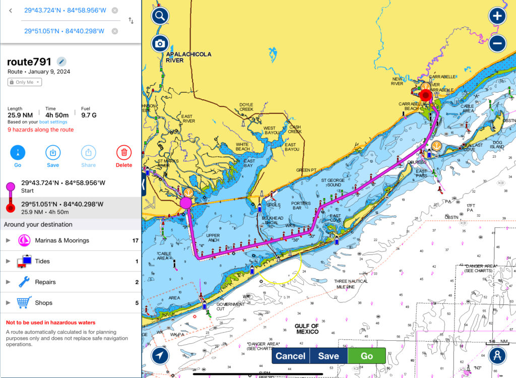
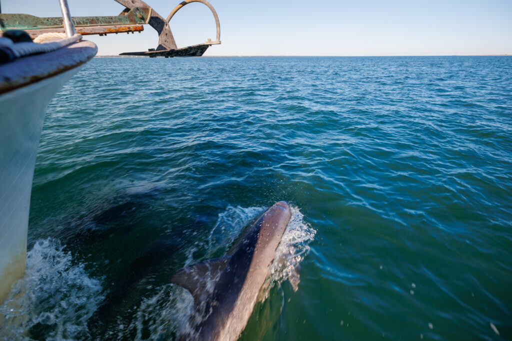
Begin your Big Bend Route in Apalachicola, heading for Carrabelle. It’s a short day of 26 miles and should take about 5 hours. As you make your way through Apalachicola Bay, you might be greeted by dolphins. St. George Island protects you from any big Gulf swell, but we’d recommend traveling on a decent weather day, as Apalachicola can get rough with any strong wind from the south, giving boaters wind on the beam.
Marinas in Carrabelle
Once you arrive in Carrabelle, you can stay at either Moorings or C-Quarters marinas. Both marinas are located on the Carrabelle River, which has a decent current. Make sure to plan your docking approach keeping in mind the strong current before you dock. We found the marina prices in Carrabelle to be a bit pricy, so we we opted for anchoring at Dog Island.
Use our Referral Code 450ZMS3 for a $15 discount on your Dockwa reservation!
Anchorages near Carrabelle
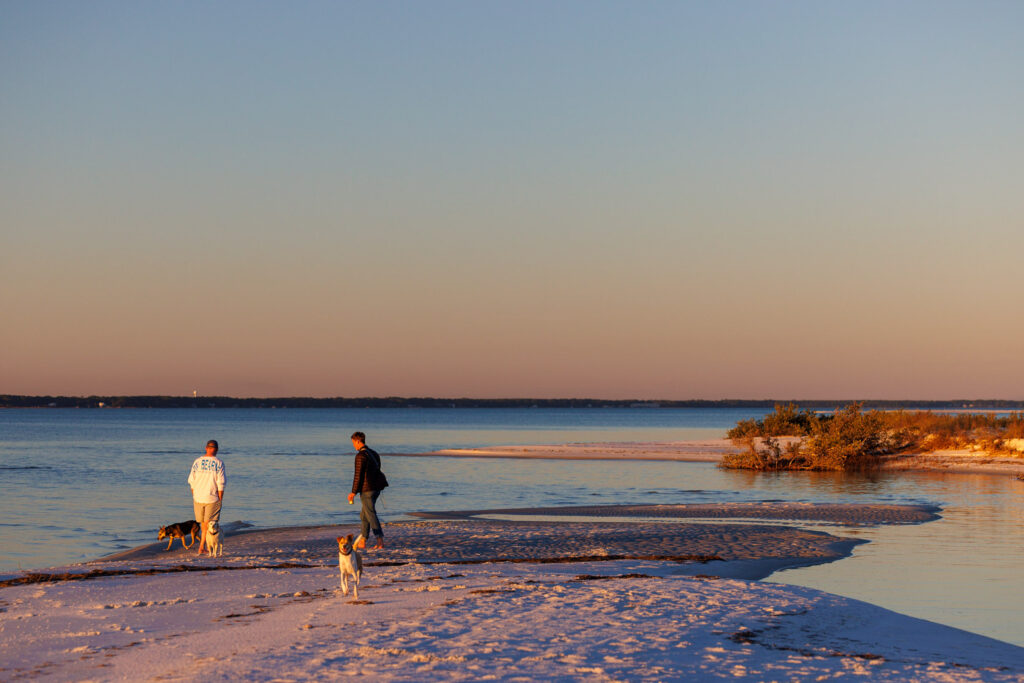
There are two main spots to anchor near Dog Island: the west side at either Shipping Cove or Cannonball Point or the east side at Dog Island East. By anchoring on the west side of the island, you’re strategically located near St. George Sound Inlet where as the east side of the island is closer to Steinhatchee. If you’re interested in anchoring in Carrabelle, then there are a few spots. We recommend reading the active captain reviews for the latest information.
Things to do in Carrabelle
Once you’re settled in Carrabelle, get off the boat to walk around and explore the World’s Smallest Police Station, Carrabelle’s Bottle House, or Carrabelle History Museum. Take your boat dog for a walk in Carrabelle River Walk or Veteran’s Park. Enjoy some fresh fish at one of the local restaurants in town for dinner. Carrabelle is an old Florida fishing town, so the seafood at The Fisherman’s Wife Restaurant or Fathoms Steam Room and Raw Bar are popular spots.
If you’re held up in Carrabelle due to weather and have bikes available, consider visiting the Country Farmer’s Market at the Crooked River Lighthouse. It’s held on the 1st, 3rd, and 5th Saturday every month from 9 am-1 pm. It’s about 3 miles or 15 minutes by bike and features fresh produce, grass-fed meat, hand-crafted goods, and delicious baked goods.
Day 3: Carrabelle or Dog Island to Steinhatchee
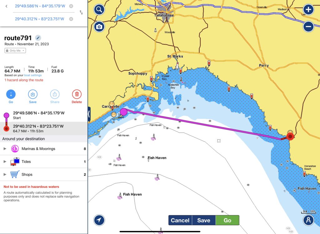
Start your open water cruising Florida’s Big Bend in Carrabelle as you cruise 81 statute miles to Steinhatchee. Timing your departure time around the weather and the sunrise is key since this is the longest day of Florida’s Big Bend.
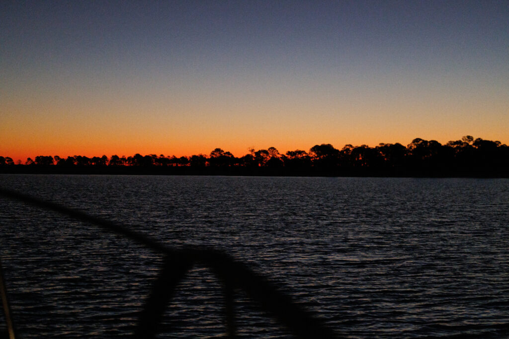
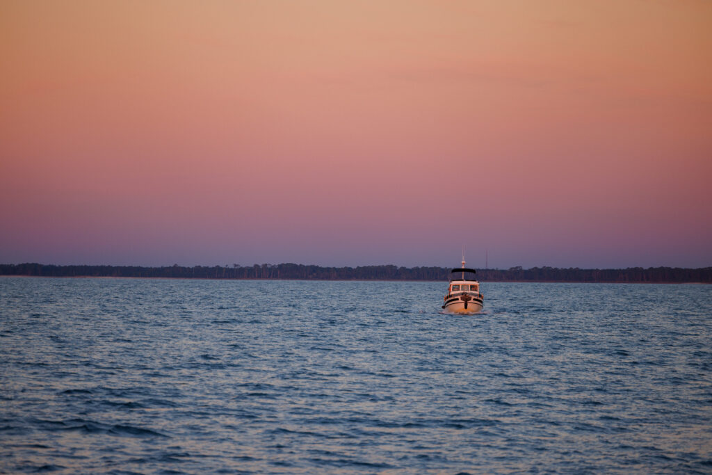
We chose to leave from Dog Island as it reduced our travel time by 6 miles, which is an hour at our cruising speed of 6 knots/hour. Since we were often one of the slowest boats, we chose to leave at first light – about 45 minutes before sunrise to maximize our travel time in the daylight. This is the only day you’ll lose sight of land for a considerable amount of time.
Getting into and around Steinhatchee
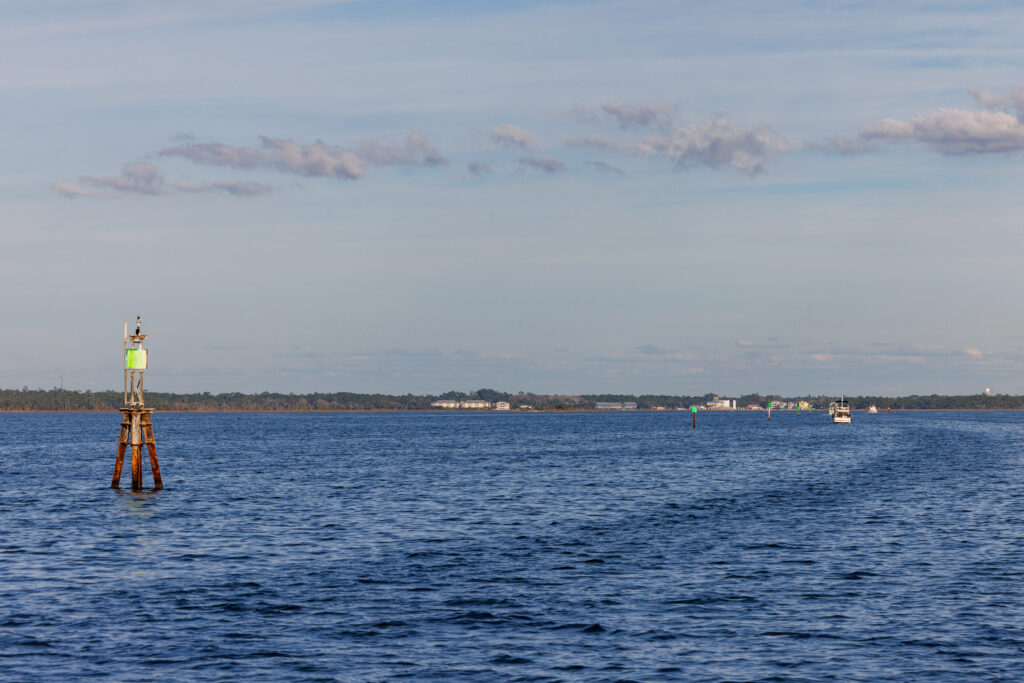
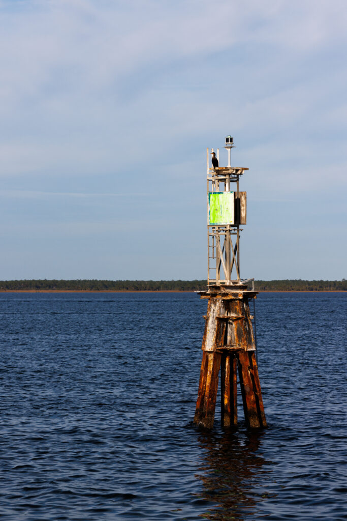
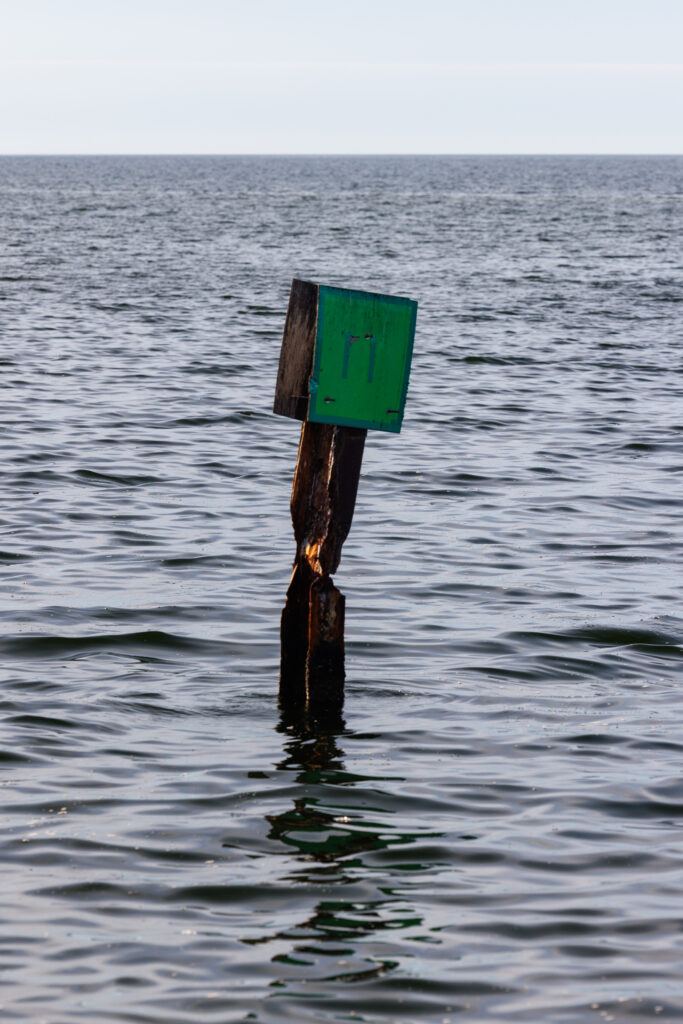
The channel getting into Steinhatchee is narrow, but the channel is well-marked. During low tide, the shallow areas can expose oyster beds, so be sure to stay in the center of the channel. There will be many small, local fishing boats in the area that will also go in and out of the channel.
Marinas in Steinhatchee
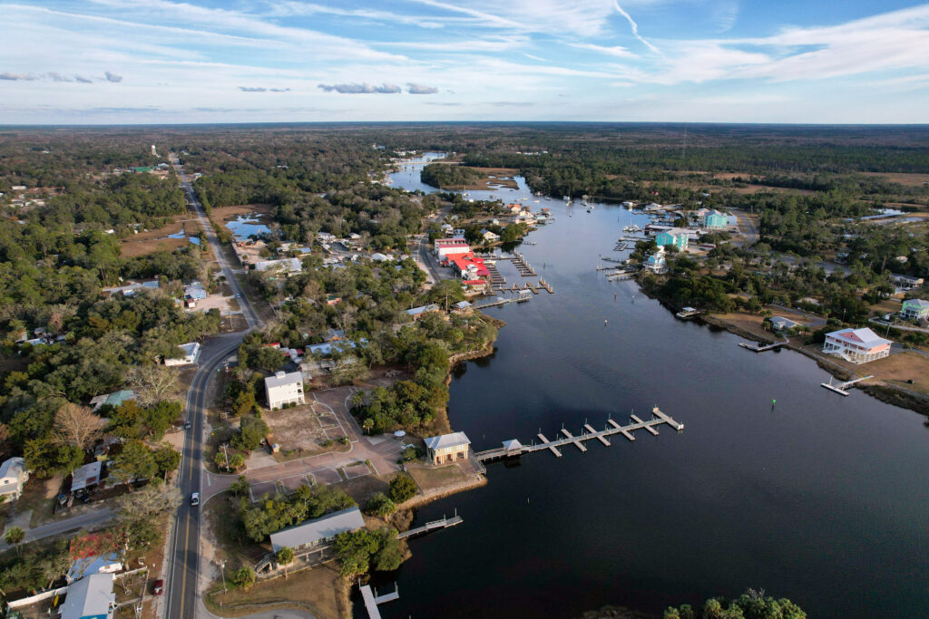
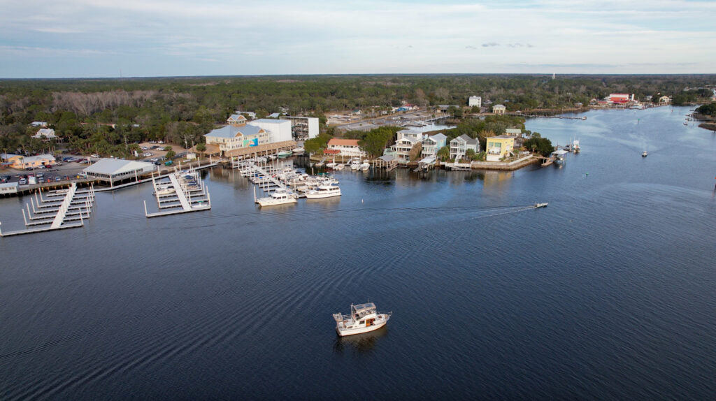
Once you arrive at Steinhatchee, there are two Marina options. Steinhatchee Marina at Deadman Bay is a relatively new marina with floating docks and typical boating amenities. Sea Hag Marina is the second marina in Steinhatchee, and reservations can be made with Dockwa. Ensure your Dockwa profile is updated with your BoatUS membership information to receive 25% Off Transient Slips bookings at Sea Hag Marina. The marina is a no-frills marina with limited amenities.
Anchorages in Steinhatchee
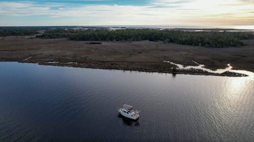
Alternatively, there are a few anchorages in Steinhatchee. We opted to stay at Steinhatchee West anchorage because the second anchorage looked more congested, and we were only staying overnight – not long enough for the wakes of local fishermen to bother us. You can take your dinghy to shore a the public boat ramp for free or contact one of the marinas to see if you can take your dinghy there for a small fee. When anchoring, keep in mind the oyster beds and tidal change. For the latest information, we recommend checking out the reviews on Active Captain.
Day 4: Steinhatchee to Cedar Key
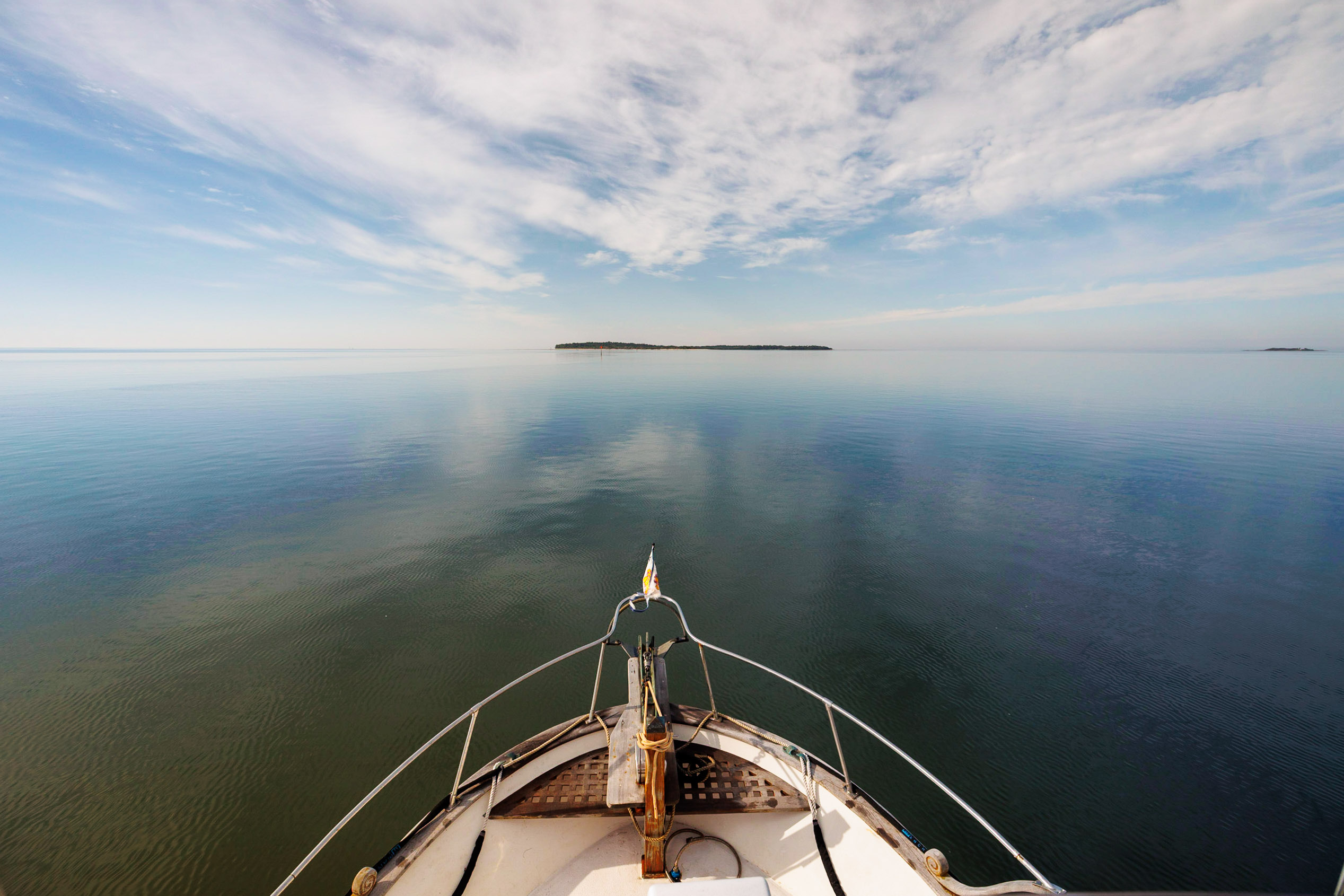
On your next good weather day, cruise 50 statute miles from Steinhatchee to Cedar Key. As you leave Steinhatchee, make sure to stay in the center of the channel and enter the Gulf of Mexico. The Big Bend in Florida is known for being shallow, so ensure you’re in good depth.
Getting into and around Cedar Key
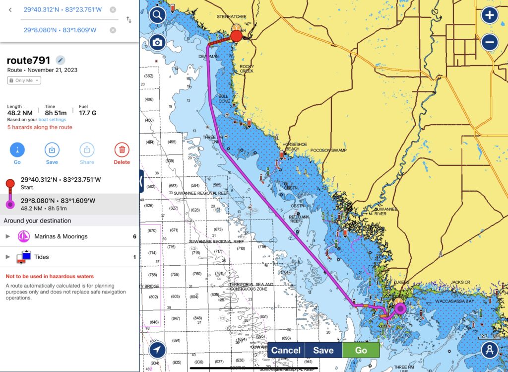
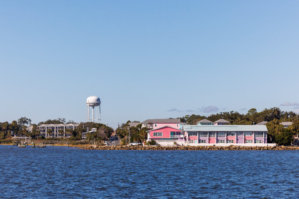
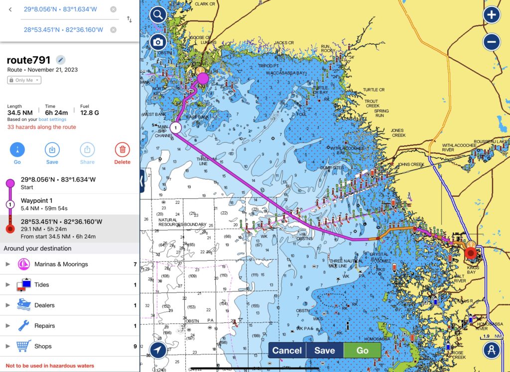
There are three channels into Cedar Key, but be sure to approach Cedar Key through the Main Ship Channel Inlet. Depending upon the default setting on your navigation software, Navionics might default to one of the other channels – as shown in our Navionics screenshot above. For concerns of running aground on some of the shoals, we’d recommend not taking any shortcuts.
Cedar Key’s settler’s history goes back to the 1840’s. After the Second Seminole War, steamboats filled the area. They carried goods such as cotton and lumber to the Gulf Coast and nearby countries. As you approach Cedar Key, you’ll pass by Seahorse Key which still has the Seahorse Key Lighthouse from the 1850’s which helped guide boats into the waterways.
We used BoatUS to have peace of mind while cruising, knowing help was only a radio call away. Sign up for BoatUS here!
Anchorages in Cedar Key
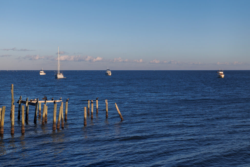
There are no marinas in Cedar Key, so the only option is to anchor. Cedar Key doesn’t have any well-protected anchorages, so it’s recommended that you consider the weather. If your weather window forecast expects nasty weather the night of your stay in Cedar Key, you might want to skip Cedar Key altogether and continue cruising to Crystal River, where there are marinas and protected anchorages. If you do have a calm night forecasted in your weather window, then Cedar Key has several anchorage options. We stayed in Cedar Key 2 for close proximity to go to shore. Other anchorage options include Astena Otie Key or Seahorse Key.
Things to do in Cedar Key
Get off the boat and stretch your legs on Cedar Key. Enjoy roaming around the island or head over to Atsena Otie Key and explore their cemetery. The cemetery dates back to the 1800s with some of the early residents of Cedar Key. On Cedar Key, enjoy walking around and exploring the town’s two art galleries. If you’re visiting while the museum is open (1 pm- 4 pm), consider learning about Cedar Key’s history at the Cedar Key Historical Society Museum.
Where to Eat in Cedar Key
For dinner, enjoy fresh shellfish at Steamer’s or Tony’s Restaurant for clam chowder. The Gulf of Mexico has some delicious shell fish including scallops and clams. If you have a delayed start the following day, be sure to grab a cup of coffee at 1842 Daily Grind & Mercantile, or if you’re craving something healthy, get a smoothie or acai bowl at The Prickly Palm.
Day 5: Cedar Key to Crystal River
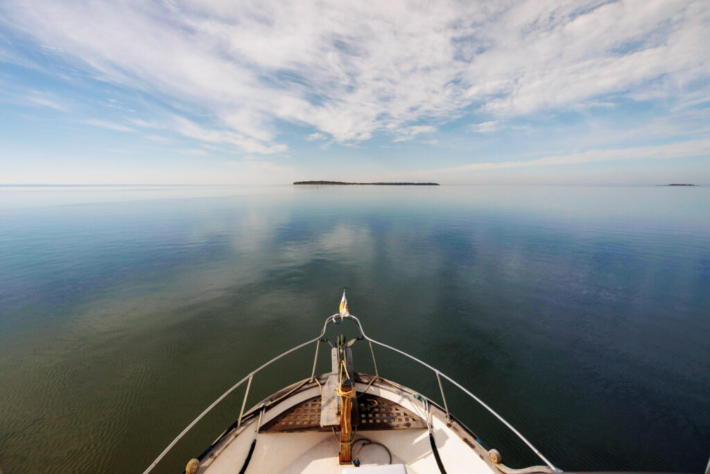
As you leave Cedar Key, make sure to follow your tracks and take the Main Ship Channel Inlet back into the Gulf of Mexico. There are three channels leading into Cedar Key, and the channel is windy, so make sure you’re following the correct channel. It’s 35 miles to Crystal River, going through fairly shallow waters.
Getting into and around Crystal River
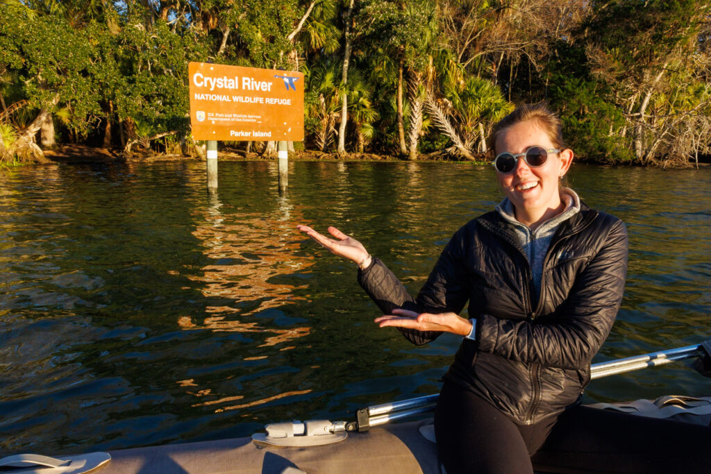
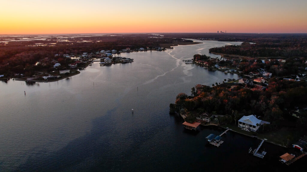
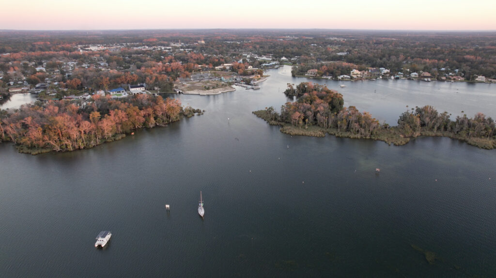
Traveling to Crystal River is a highlight of the entire Big Bend in Florida, between the proximity to manatees and the natural landscape. The marked channel following Crystal River is about 10 miles long and is some of the most incredible old Florida scenery we’ve ever seen on our boat. As you approach Crystal River, be sure to stay in the center of the channel going into Crystal River Inlet, as there are scallop grounds that can cause significant damage if you run aground on them. We found the most shallow spot to be near the entrance, around Shell Island. We timed our arrival on a rising tide to give ourselves the most leeway. Crystal River is a slow-speed zone due to manatees. Please respect the slow speed, as manatees are a big reason why Crystal River is so special!
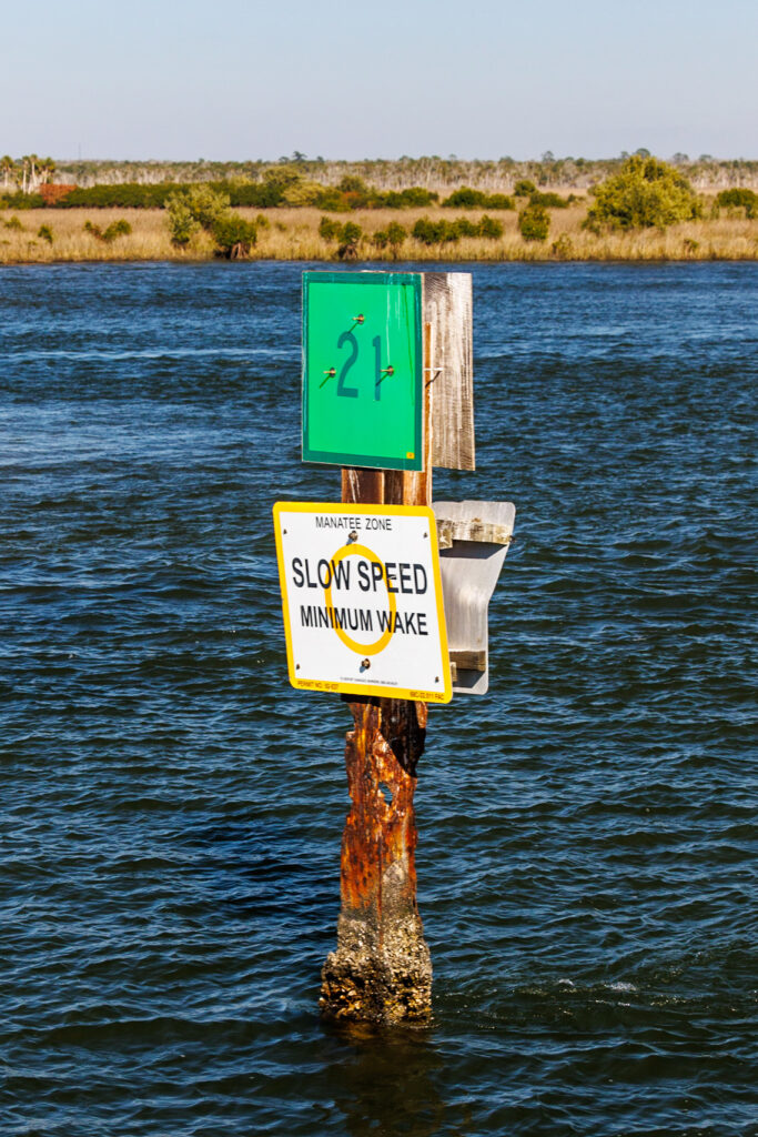
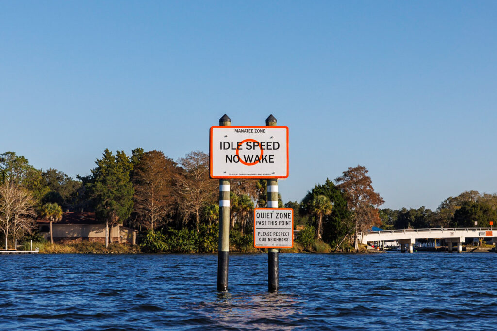
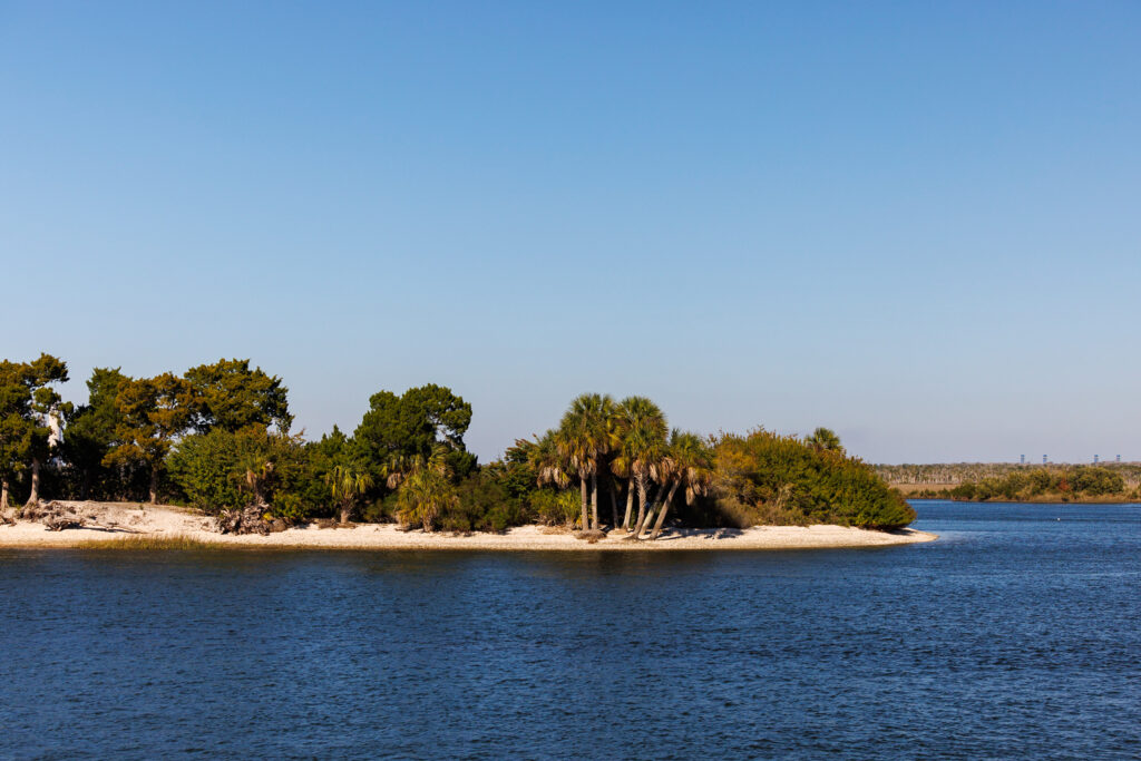
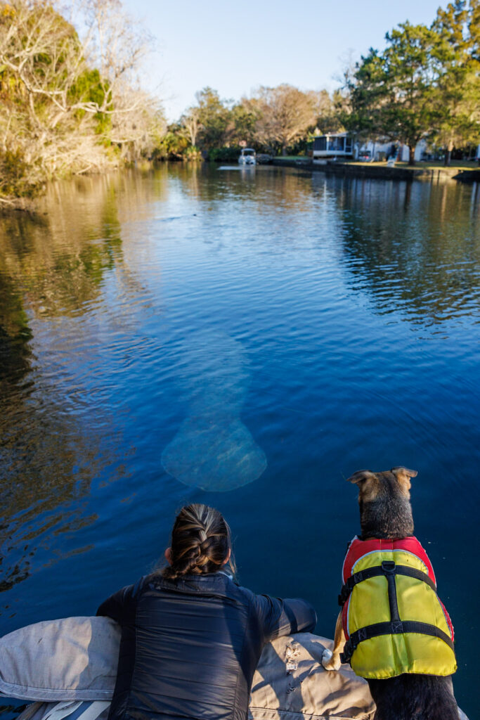
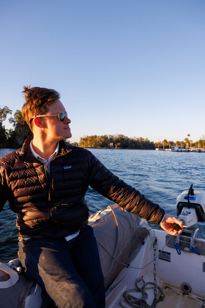
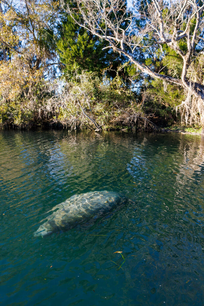
Once you’re settled, Crystal River is best explored by dinghy, kayak, or stand-up paddleboard to see the springs and manatees that love the freshwater! The town of Crystal River is also easily accessible by walking or biking. As you take your dinghy around the springs, make sure to bring a phone or iPad for navigation, as it’s easy to get lost in the windy canals. Just like approaching Crystal River in your boat, it’s important to be considerate of your dinghy speed in your dinghy for the safety of the Manatees. Manatees move at a slow speed and don’t react quickly to boats.
Marinas in Crystal River
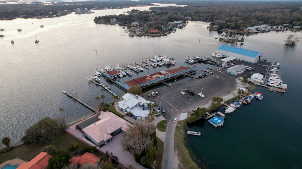
There are two marina options, but they’re not both conveniently located to downtown Crystal River. Pete’s Pier is the most convenient option and where as Twin Rivers Marina is a bit further out. Pete’s Pier Marina can be booked with Dockwa, and although it has amenities, it is a rather no-frills marina. The last we heard, their pump out is not working, but the City of Crystal River provides a mobile pump out by boat to all boats who need it every Wednesday for $5. They can be reached by phone at (352) 586-0588 or on VHF channel 16. Leave a message, as they don’t answer except on Wednesdays. Twin Rivers Marina can also be booked with Dockwa.
Anchorages in Crystal River
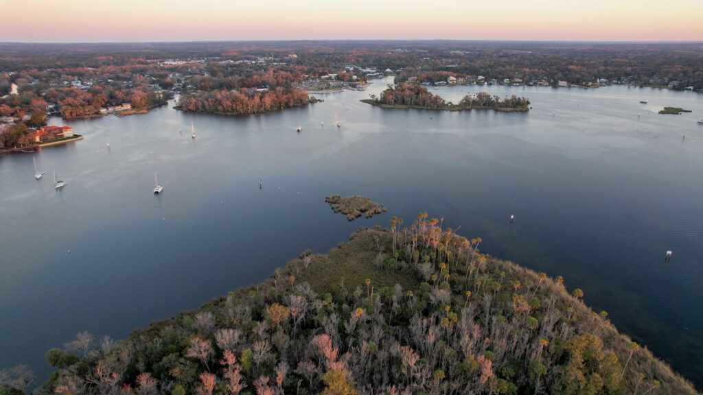
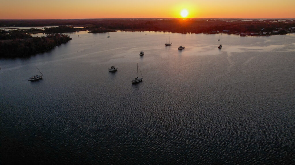
The anchorage in Crystal River is large and has many boats, both transients and derelict boats. The anchorage is large but is so far upriver from the inlet, giving us protection from the Gulf of Mexico. You can go ashore at a public boat ramp near Kings Bay Park, which is conveniently located to downtown Crystal River. We opted to anchor in Crystal River, which was a nice overnight stay and we wish we could have stayed longer given the amount of things to do here and ease for boaters, but our weather window was calling us to keep moving.
Things to do in Crystal River
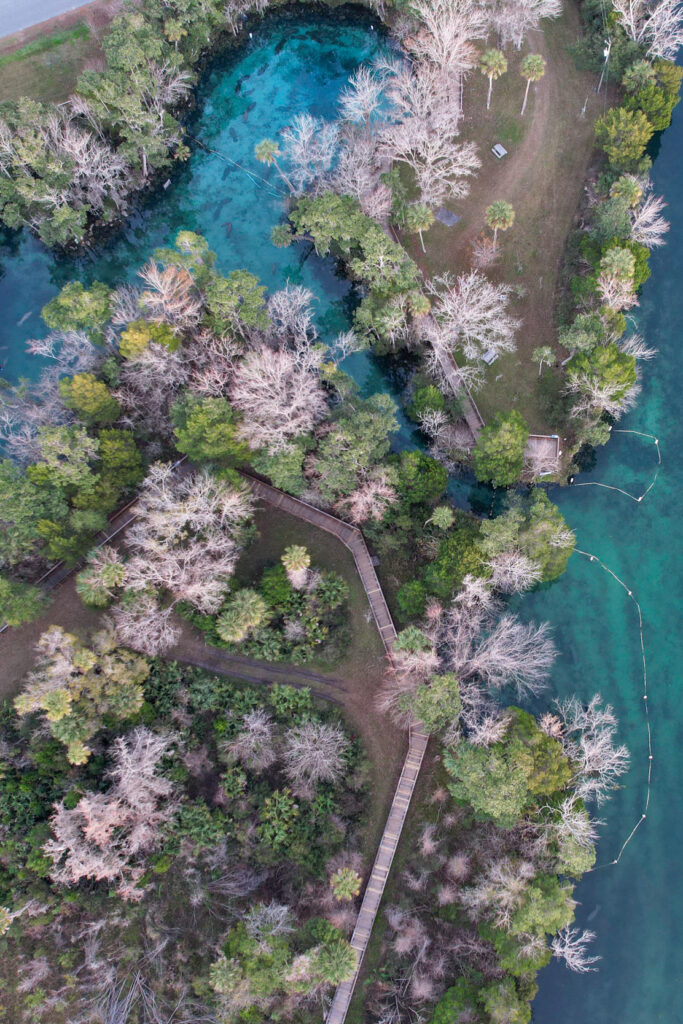
Crystal River was our favorite destination on the Big Bend in Florida because there’s so much to do and see. If there were one spot we wouldn’t mind being held up due to weather, it would be Crystal River. The natural scenery, ease of resources for boaters, and fun things to do made it a real highlight of the trip.
The real highlight of Crystal River is the manatees, so be sure to take your dinghy or kayak out to explore. If you don’t have a dinghy or kayak, then we’d highly recommend booking a clear kayak tour to see the springs and manatees! Depending upon the time of year you visit, you can jump in the water and swim with the manatees too. Crystal River is stunning from the start of the inlet, so weather permitting, take your dinghy up Crystal River to further explore the old Florida landscape and scenery.
If you’re interested in getting off the water, then you can explore downtown Crystal River, visit the Coastal Heritage Museum, or walk or bike the Crosstown Trail, which goes along a historic railroad bed for about a mile.
Where to Eat in Crystal River
Just like the rest of the destinations on Florida’s Big Bend, Crystal River is known for its seafood. Here are a few spots in town:
FOOD
- The Crab Plant – cash only
- Cracker’s Bar and Grill
- Vintage on 5th
- St. John’s Tavern
- Oysters Restaurant
COFFEE AND TREATS
Day 6: Crystal River to Anclote Key or Tarpon Springs
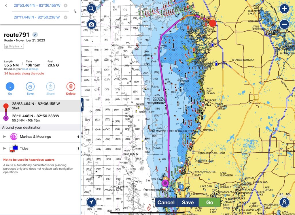
The final day of your Florida Big Bend journey takes you 55 miles from Crystal River to Anclote Key or even further to Tarpon Springs. Leaving Crystal River, be sure to stay in the center of the channel until the very end of the Crystal River inlet. Ideally, try and time your departure for a rising or high tide to avoid the scallop beds. Depending upon your boat speed and final destination, ensure you time your departure accordingly to arrive before sunset.
Getting into Anclote Key
Cruising to Anclote Key is fairly simple. During our trip, we saw the most sea turtles and marine life compared to any other part of the journey. It was really spectacular! As you approach the protected waters, carefully follow the marked channel, as it does get shallow. Anclote Key is a Florida State Park, and dogs are not allowed onshore. Please be respectful of the rules, as it’s a migratory bird habitat and wildlife refuge.
Getting into and around Tarpon Springs
The Anclote River is fairly wide as you approach Tarpon Springs. There’s a lot of boat traffic from local boaters, fishermen, and transient boaters alike. The channel is well-marked.
Where to stay in Tarpon Springs
Although there are a few marinas and yacht clubs in the area, the main marina is the Tarpon Springs City Marina which is conveniently located in downtown Tarpon Springs. There is one anchorage on the river, Anclote River, which has land access at the Anclote River Park Boat Ramp but is far away from Downtown Tarpon Springs. We opted to anchor at Dutchman Key because we were cutting it close to sunset. If we had more time, we’d recommend anchoring at South Anclote instead and getting off the island to see the Anclote Key Lighthouse from 1887 or doing some shelling!
Things to do in Tarpon Springs
Although we didn’t visit Tarpon Springs, here are some of the main attractions in Tarpon Springs:
- Visit the Tarpon Springs Sponge Docks
- Enjoy Greek Food! – a real highlight of Tarpon Springs
- Visit the Tarpon Springs Distillery
- Learn about the area’s history at the Tarpon Springs Heritage Museum.
- Walk around the cute downtown area.
Festivals and Events in Tarpon Springs
- Enjoy First Fridays in Tarpon Springs – enjoy art, food, vendors, shops, music, and drinks from 6:00-10:00 pm in Historic Downtown Tarpon Springs.
- Participate in local events – check out the Tarpon Springs events calendar!
- Blessing of the Fleet – held the day before Epiphany Day at the beginning of January.
Florida Big Bend Itinerary Variations
Although we shared many destinations along Florida’s Big Bend, you can pick and choose which places you want to visit and which to skip based on your weather window, boat’s cruising speed, and overall timeline. For example, you can skip Cedar Key altogether and go directly from Steinhatchee to Crystal River.
Given Cedar Key’s lack of marinas, options for provisioning, and unprotected anchorages, Cedar Key would be one of the places we’d skip first if you had a short weather window or wanted to prioritize other destinations. Given the unique landscape and fun things to do and see in Crystal River, we wouldn’t miss this destination. When we did the Big Bend, we traveled with a boat that went from Cedar Key to Tarpon Springs. If you want to stay at marinas solely, you could go from Steinhatchee to Crystal River, although it would be a very long day, and then skip Anclote Key and head straight for Tarpon Springs.
Other variations include visiting St. Marks’s, Suwannee River, or the Cross Florida Greenway. These options are fairly shallow, so a low draft boat could make it work, but most sailboats and looper boats might not make it in. Each boat needs to do its own due diligence. If your boat has a particularly deep draft or you’re not interested in visiting Anclote Key or Tarpon Springs, some boaters prefer to enter the protected waters at Clearwater Pass Inlet. This inlet is further south, so it will increase your travel distance and time.
Ready to Explore Florida’s Big Bend?
Pin this guide to help plan your trip!
The ups, downs, and everything in between, we share it all. If you like what you see, there are lots of ways to show your support and say thanks! The easiest way to support our work is by commenting on this post, liking and sharing our content on Facebook, and pinning our content on Pinterest. It’s a small way to say thank you that goes a long way!
by
Tags:
Comments
2 responses to “Boating Guide to the Big Bend in Florida”
Outside Crystal River there are many unmarked rock piles, even well outside marker 1. Before turning south head WSW at least 10 miles. If there is a strong east wind and negative tide these rocks might only be a couple feet under the surface.
Great point, Matt! This further reinforces how important it is to stay in the center of the channel entering and exiting Crystal River. We saw plenty of depth with planning tides, and I think more boats can make it in if they also plan to be on the upper end of the tide tables. You definitely do not want to stray, though; those unmarked rock piles are very unforgiving!



Leave a Reply